Old Maps of Ames Township, Ohio for Hiking & Exploration
Hike through history with 44 historic maps of Ames Township. Explore old trails, ghost towns, and forgotten backroads — perfect for outdoor adventurers and local explorers.
- Rediscover forgotten places: Map out old mining camps, roads, and footpaths that no longer exist on modern maps.
- Layer with modern tools: Combine with LiDAR or satellite views to plan hikes through historical terrain.
- Made for exploration: Popular among hikers, overlanders, and local history lovers.
Use these maps to find adventure and explore the hidden past of Ames Township.
Ames Township, OH maps
(44)- 1903 Map of Athens, 1958 Print
 1903 Athens1958 Print · USGSSoutheast Ohio's Hocking Valley thrives at the height of its coal-mining era, before the shift in regional industry. Researchers can trace historic rail lines like the Electric railway and find vanished company towns such as Orbiston, Buchtel, and Cawthorn.
 - 1904 Map of Chesterhill, 1957 Print
 1904 Chesterhill1957 Print · USGSSoutheast Ohio's rugged hill country is captured here during the peak of its rail-and-river economy in the early twentieth century. Researchers can locate vanished rural post offices and community landmarks like Calvary P O, Bethany Church, and Patten Mills.
 - 1905 Map of Athens
 1905 Athens1905 Print · USGSAthens and the Hocking River valley appear here at the height of the coal and rail era in the early nineteen-hundreds. Genealogists can trace family roots in vanished settlements and industrial junctions like Orbiston, Buchtel, and Marshfield.6 unique versions available
 - 1906 Map of Chesterhill, 1943 Print
 1906 Chesterhill1943 Print · USGSSoutheastern Ohio at the start of the century reveals a landscape of coal-mining hamlets and river valley rail lines. Genealogists and researchers can trace family landmarks like Mills School, Patten Mills, and the scattered post offices of Calvary PO and Federal.
 - 1947 Map of Columbus, 1948 Print
 1947 Columbus1948 Print · USGSCentral Ohio in the late 1940s is captured in this survey, showing the post-war transition of its rail hubs and military airfield expansions. Genealogists and historians can trace the paths of the Ohio Canal, the Pennsylvania RR lines, and the Camp Sherman Military Reservation.
 - 1949 Map of Clarksburg
 1949 Clarksburg1949 Print · USGSThe upper Ohio River valley and the industrial heart of West Virginia come into focus during this post-war period. Genealogists and researchers can trace the rail corridors of the Baltimore and Ohio and locate centers like Fairmont, Grafton, and Waynesburg.
 - 1956 Map of Clarksburg, 1966 Print
 1956 Clarksburg1966 Print · USGSThe Ohio River valley and the industrial heart of West Virginia are seen here in the mid-1950s as rail and river commerce thrived. Researchers can trace historic transport lines like the Baltimore and Ohio RR and locate ancestral homes in Clarksburg, Moundsville, or Parkersburg.2 unique versions available
 - 1960 Map of Amesville, 1962 Print
 1960 Amesville1962 Print · USGSSoutheast Ohio’s hill country in the early sixties reveals a landscape transitioning between its mining roots and modern forestry. Genealogists and historians can trace family locations through Mud Sock Cem, Amesville, and the church at Mt Carmel Ch.4 unique versions available
 - 1961 Map of Columbus
 1961 Columbus1961 Print · USGSCentral and Southern Ohio are captured here in the early sixties, as the region's industrial rail hubs and military bases reached their peak. Genealogists and historians can trace the transition from urban Columbus to rural townships along the Scioto River, locating Lockbourne USAF and old junctions like Washington Court House.
 - 1961 Map of Clarksburg
 1961 Clarksburg1961 Print · USGSThe mid-century industrial and river landscapes of West Virginia and Ohio are detailed here, centered on the Ohio River. Researchers can trace the Baltimore and Ohio rail lines connecting towns like Parkersburg, Clarksburg, and Monongah.
 - 1961 Map of Athens, 1962 Print
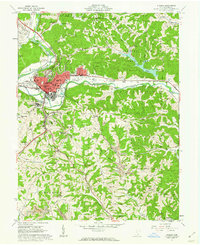 1961 Athens1962 Print · USGSAthens is shown in the early sixties at a moment of transition, balancing its role as a university center with an active industrial landscape. Genealogists can trace family names at McCole Cem or Graham Chapel Cem, while industrial historians can locate old Strip Mines and the N Y C rail lines.7 unique versions available
 - 1961 Map of Stewart, 1962 Print
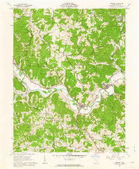 1961 Stewart1962 Print · USGSAthens County at the start of the sixties reveals a landscape of winding river valleys and ridge-top oil fields. Trace the old Baltimore and Ohio rail line through Guysville and Stewart, or find rural landmarks like Asbury Ch and Kilvert.4 unique versions available
 - 1961 Map of Jacksonville, 1962 Print
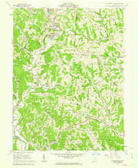 1961 Jacksonville1962 Print · USGSThe coal and rail valleys of Athens County are captured here in the early sixties, showing the busy corridor from Glouster down to Chauncey. Genealogists and local historians can locate family plots at Sands Cem or Brown Cem and trace the old NEW YORK CENTRAL rail line through Millfield.5 unique versions available
 - 1962 Map of Columbus
 1962 Columbus1962 Print · USGSCentral Ohio during the early sixties reveals a transition from the industrial corridors of Columbus to the forested ridges of the south. Genealogists and historians can trace the rail networks of the Baltimore & Ohio RR and find local landmarks like Washington Court House and Camp Sherman Military Reservation.
 - 1967 Map of Columbus, 1969 Print
 1967 Columbus1969 Print · USGSCentral Ohio during the late sixties serves as a vital corridor of rail and aviation, from the industrial streets of Springfield to the hangar lines of Lockbourne Air Force Base. Genealogists and researchers can trace the growth of towns like Circleville and London or locate rural landmarks such as St Paul church and the London Correctional Institution.2 unique versions available
 - 1980 Map of Wellston, 1982 Print
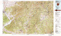 1980 Wellston1982 Print · USGSThe hill country of south-central Ohio in the early eighties shows a landscape of expansive state forests and deep-rooted river towns. Genealogists and historians can trace rural heritage through sites like Buckeye Furnace State Memorial and Mount Zion Cemetery.
 - 1981 Map of Parkersburg, 1984 Print
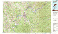 1981 Parkersburg1984 Print · USGSThe Ohio River valley at the start of the 1980s reveals a landscape shaped by river commerce and the rail networks of the Baltimore and Ohio RR. Genealogists and historians can trace the development of riverfront communities like Parkersburg, Marietta, and Williamstown, alongside rural landmarks like Blennerhassett Island and Elizabeth.
 - 1988 Map of Clarksburg, 1989 Print
 1988 Clarksburg1989 Print · USGSThe central Appalachians are documented in detail during the late eighties, showing the industrial and river-based economies of West Virginia, Ohio, and Pennsylvania. Researchers can trace historic rail routes like the B & O RR and locate river towns from St Marys to Parkersburg.
 - 1994 Map of Amesville, 1998 Print
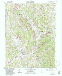 1994 Amesville1998 Print · USGSSoutheast Ohio during the late twentieth century remained a landscape of deep valleys and mining history. Trace family roots at Mt Zion Cem & Ch, explore the old mining hamlets of Sharpsburg and Joy, and follow the Old Railroad Grade near Lathrop.
 - 1994 Map of Stewart, 1998 Print
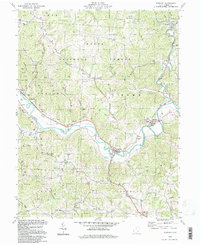 1994 Stewart1998 Print · USGSAthens County hill country comes into focus in the mid-nineties, where river-valley life meets the deep woods of the Wayne National Forest. Genealogists can trace family footprints at Copeland Cem or follow the Hocking River to the village of Stewart.
 - 2002 Map of Athens, 2005 Print
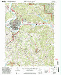 2002 Athens2005 Print · USGSAthens and its surrounding ridges come alive in this early 2000s survey, showing the city's evolution alongside the Hocking River. Genealogists and historians can trace family cemeteries like Bassett Cem and McCole Cem or explore the institutional footprints of Ohio University and the State Hospital.
 - 2002 Map of Amesville, 2006 Print
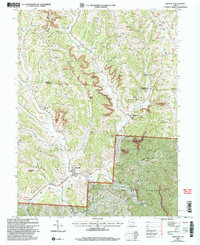 2002 Amesville2006 Print · USGSThe Appalachian foothills of Athens and Morgan counties appear here at the turn of the millennium, showing a landscape defined by coal and timber. Researchers can trace family roots at Beasley Cem and explore old settlements like Sharpsburg or Lathrop.
 - 2002 Map of Stewart, 2006 Print
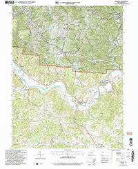 2002 Stewart2006 Print · USGSAthens County at the start of the millennium shows a landscape defined by the winding Hocking River and the expansion of the Wayne National Forest. Genealogists can trace family names at Sand Rock Cemetery and locate community hubs like Asbury Church and Broadwell.
 - 2002 Map of Jacksonville, 2006 Print
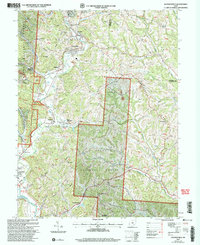 2002 Jacksonville2006 Print · USGSSoutheast Ohio's coal country comes into focus at the turn of the millennium, showing a landscape shaped by both forest and industry. Genealogists and historians can trace family sites like Sands Cem and Augustine Cem or locate industrial markers such as the tipple near East Millfield.
 - 2011 Map of Jacksonville, 2011 Print
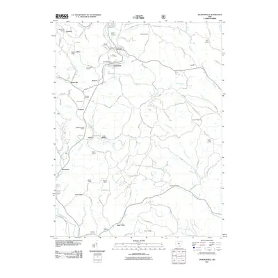 2011 Jacksonville2011 Print · USGSAthens County at the start of the 2010s shows a landscape deeply shaped by its creek-bottom settlements and ridgeline cemeteries. Genealogists and local historians can trace family locations near the Kidwell Covered Bridge, Number Ten Mission, and the Queen of Heaven Cemeteries.
Showing maps 1-25 of 44
Top cities near Ames Township
- Athens historical maps
- Nelsonville historical maps
- The Plains historical maps
- Glouster historical maps
- Chauncey historical maps
- Albany historical maps
See more
Top neighborhoods of Ames Township
Frequently asked questions
- What are the different types of historical maps available for Ames Township?
- What is the oldest map of Ames Township?
- Where can I purchase historical maps of Ames Township for my home or office?
- Where can I download high-res historical maps of Ames Township?
- Are there historical topographic maps available for Ames Township?
- Is there historical aerial imagery available for Ames Township?
- Where are historical maps of Ames Township sourced from?