Old Maps of Dover Township, Ohio for Genealogy
Trace your family roots with 28 historic maps of Dover Township. These high-res maps reveal old neighborhoods, homesites, landmarks, and streets — helping you uncover where your ancestors lived and how the area evolved over time.
- Explore historic neighborhoods: Identify where your relatives may have lived in the 1800s or 1900s.
- Compare maps over time: Trace the changes in streets, buildings, and landmarks for multi-generational research.
- Perfect for genealogy & ancestry research: Used by family historians and researchers to map out lineage and migration.
These maps are an incredible resource for exploring your personal connection to Dover Township's past.
Dover Township, OH maps
(28)- 1903 Map of Athens, 1958 Print
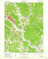
 1903 Athens1958 Print · USGSSoutheast Ohio's Hocking Valley thrives at the height of its coal-mining era, before the shift in regional industry. Researchers can trace historic rail lines like the Electric railway and find vanished company towns such as Orbiston, Buchtel, and Cawthorn.
 - 1905 Map of Athens
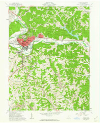
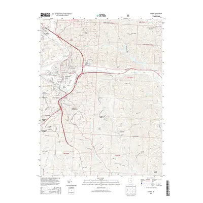
 1905 Athens1905 Print · USGSAthens and the Hocking River valley appear here at the height of the coal and rail era in the early nineteen-hundreds. Genealogists can trace family roots in vanished settlements and industrial junctions like Orbiston, Buchtel, and Marshfield.6 unique versions available
 - 1947 Map of Columbus, 1948 Print
 1947 Columbus1948 Print · USGSCentral Ohio in the late 1940s is captured in this survey, showing the post-war transition of its rail hubs and military airfield expansions. Genealogists and historians can trace the paths of the Ohio Canal, the Pennsylvania RR lines, and the Camp Sherman Military Reservation.
 - 1961 Map of Columbus
 1961 Columbus1961 Print · USGSCentral and Southern Ohio are captured here in the early sixties, as the region's industrial rail hubs and military bases reached their peak. Genealogists and historians can trace the transition from urban Columbus to rural townships along the Scioto River, locating Lockbourne USAF and old junctions like Washington Court House.
 - 1961 Map of Nelsonville, 1962 Print
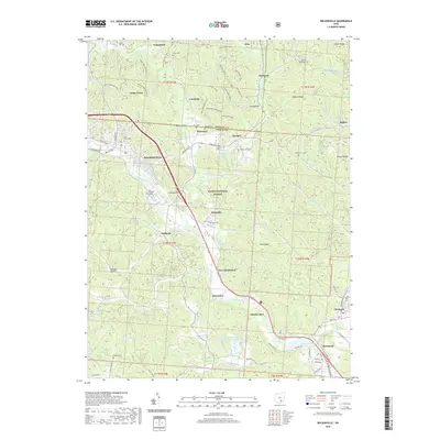
 1961 Nelsonville1962 Print · USGSThe Hocking River valley in the early sixties is a landscape of coal extraction and rail transport at the heart of the Wayne National Forest. Researchers can trace old family sites and mining history through labels like Carbon Hill, Oak Grove Ch, and several Strip Mine works.7 unique versions available
 - 1961 Map of Athens, 1962 Print
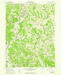
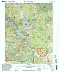
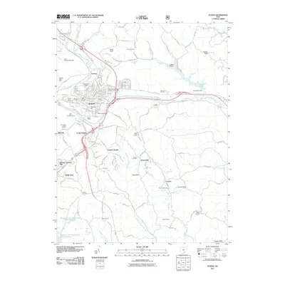
 1961 Athens1962 Print · USGSAthens is shown in the early sixties at a moment of transition, balancing its role as a university center with an active industrial landscape. Genealogists can trace family names at McCole Cem or Graham Chapel Cem, while industrial historians can locate old Strip Mines and the N Y C rail lines.7 unique versions available
 - 1961 Map of Jacksonville, 1962 Print
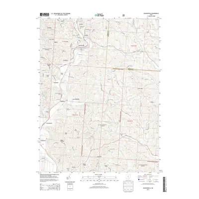
 1961 Jacksonville1962 Print · USGSThe coal and rail valleys of Athens County are captured here in the early sixties, showing the busy corridor from Glouster down to Chauncey. Genealogists and local historians can locate family plots at Sands Cem or Brown Cem and trace the old NEW YORK CENTRAL rail line through Millfield.5 unique versions available
 - 1962 Map of Columbus
 1962 Columbus1962 Print · USGSCentral Ohio during the early sixties reveals a transition from the industrial corridors of Columbus to the forested ridges of the south. Genealogists and historians can trace the rail networks of the Baltimore & Ohio RR and find local landmarks like Washington Court House and Camp Sherman Military Reservation.
 - 1967 Map of Columbus, 1969 Print
 1967 Columbus1969 Print · USGSCentral Ohio during the late sixties serves as a vital corridor of rail and aviation, from the industrial streets of Springfield to the hangar lines of Lockbourne Air Force Base. Genealogists and researchers can trace the growth of towns like Circleville and London or locate rural landmarks such as St Paul church and the London Correctional Institution.2 unique versions available
 - 1980 Map of Wellston, 1982 Print
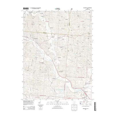
 1980 Wellston1982 Print · USGSThe hill country of south-central Ohio in the early eighties shows a landscape of expansive state forests and deep-rooted river towns. Genealogists and historians can trace rural heritage through sites like Buckeye Furnace State Memorial and Mount Zion Cemetery.
 - 2002 Map of Athens, 2005 Print
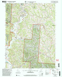
 2002 Athens2005 Print · USGSAthens and its surrounding ridges come alive in this early 2000s survey, showing the city's evolution alongside the Hocking River. Genealogists and historians can trace family cemeteries like Bassett Cem and McCole Cem or explore the institutional footprints of Ohio University and the State Hospital.
 - 2002 Map of Nelsonville, 2006 Print
 2002 Nelsonville2006 Print · USGSThe Hocking River valley at the start of the twenty-first century reveals a landscape of industrial history and forest conservation. Researchers can trace the legacy of coal mining and the Chesapeake and Ohio railroad near Buchtel and Strip Mine sites.
 - 2002 Map of Jacksonville, 2006 Print
 2002 Jacksonville2006 Print · USGSSoutheast Ohio's coal country comes into focus at the turn of the millennium, showing a landscape shaped by both forest and industry. Genealogists and historians can trace family sites like Sands Cem and Augustine Cem or locate industrial markers such as the tipple near East Millfield.
 - 2011 Map of Nelsonville, 2011 Print
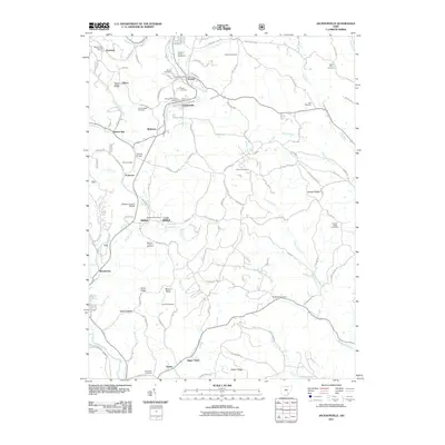
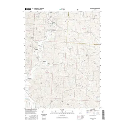
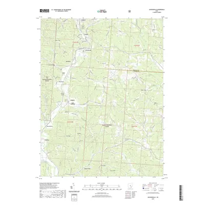
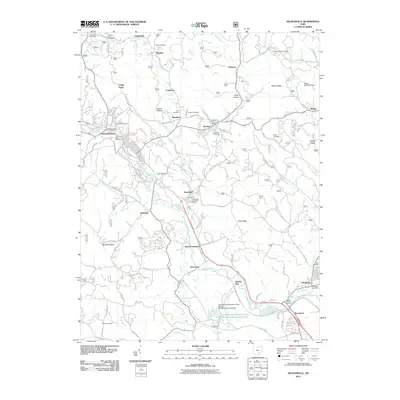 2011 Nelsonville2011 Print · USGSCovers Dover Township, including Nelsonville, Chauncey, and other nearby areas
 - 2011 Map of Jacksonville, 2011 Print
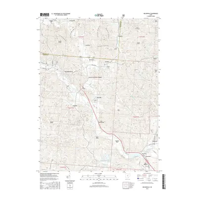
 2011 Jacksonville2011 Print · USGSCovers Dover Township, including Glouster, Chauncey, and other nearby areas
 - 2011 Map of Athens, 2011 Print
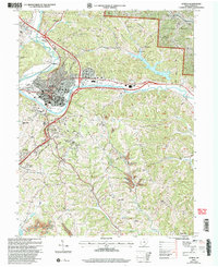
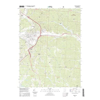
 2011 Athens2011 Print · USGSCovers Dover Township, including Athens, Longview Heights, and other nearby areas
 - 2013 Map of Jacksonville, 2013 Print
 2013 Jacksonville2013 Print · USGSCovers Dover Township, including Glouster, Chauncey, and other nearby areas
 - 2013 Map of Nelsonville, 2013 Print
 2013 Nelsonville2013 Print · USGSCovers Dover Township, including Nelsonville, Chauncey, and other nearby areas
 - 2013 Map of Athens, 2013 Print
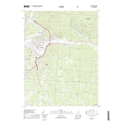
 2013 Athens2013 Print · USGSCovers Dover Township, including Athens, Longview Heights, and other nearby areas
 - 2016 Map of Jacksonville, 2016 Print
 2016 Jacksonville2016 Print · USGSCovers Dover Township, including Glouster, Chauncey, and other nearby areas
 - 2016 Map of Nelsonville, 2016 Print
 2016 Nelsonville2016 Print · USGSCovers Dover Township, including Nelsonville, Chauncey, and other nearby areas
 - 2017 Map of Athens, 2017 Print
 2017 Athens2017 Print · USGSCovers Dover Township, including Athens, Longview Heights, and other nearby areas
 - 2019 Map of Athens, 2019 Print
 2019 Athens2019 Print · USGSCovers Dover Township, including Athens, Longview Heights, and other nearby areas
 - 2019 Map of Nelsonville, 2019 Print
 2019 Nelsonville2019 Print · USGSCovers Dover Township, including Nelsonville, Chauncey, and other nearby areas
 - 2019 Map of Jacksonville, 2019 Print
 2019 Jacksonville2019 Print · USGSCovers Dover Township, including Glouster, Chauncey, and other nearby areas
Showing maps 1-25 of 28
Top cities near Dover Township
- Athens historical maps
- Nelsonville historical maps
- The Plains historical maps
- Glouster historical maps
- Chauncey historical maps
- Albany historical maps
See more
Top neighborhoods of Dover Township
- Poston historical maps
- Millfield historical maps
- Sugar Creek historical maps
- Truetown historical maps
- Beaumont historical maps
- Morristown historical maps
See more
Frequently asked questions
- What are the different types of historical maps available for Dover Township?
- What is the oldest map of Dover Township?
- Where can I purchase historical maps of Dover Township for my home or office?
- Where can I download high-res historical maps of Dover Township?
- Are there historical topographic maps available for Dover Township?
- Is there historical aerial imagery available for Dover Township?
- Where are historical maps of Dover Township sourced from?