2000s (21st Century) Maps of Saint Marys, Ohio
Explore 10 historic maps of Saint Marys from the 2000s (21st Century). These maps offer a rare glimpse into what life looked like during the 2000s — showing old roads, neighborhoods, homes, and landmarks that have changed or disappeared over time.
Whether you're researching your family's past, planning a metal detecting trip, or studying how Saint Marys's landscape evolved across the 2000s, these high-resolution maps are a powerful tool for exploring the history of this region.
- Focus on a specific era: All maps on this page are from the 2000s, giving you a focused view of this time period.
- See what’s changed: Compare century-old streets, trails, and buildings to today's modern landscape using overlays and satellite layers.
- Research with precision: Use these maps for genealogy, historical research, land use analysis, or educational projects.
- View, download, or print: Maps are fully viewable online in high resolution, and can be downloaded or printed for your own records.
Start exploring Saint Marys's history through authentic maps from the 2000s. This is your window into the past.
Saint Marys, OH maps
(10)- 2010 Map of Saint Marys, 2010 Print
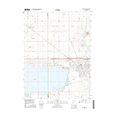
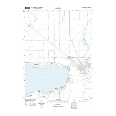 2010 Saint Marys2010 Print · USGSCovers Saint Marys, including Club Island, Villa Nova, and other nearby areas
 - 2010 Map of Moulton, 2010 Print
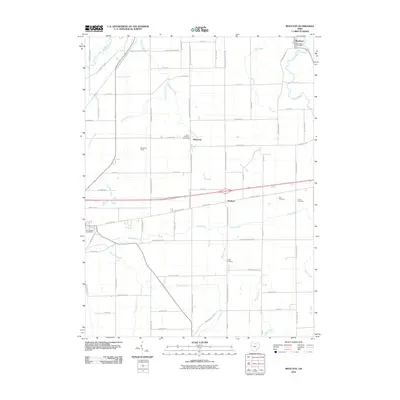 2010 Moulton2010 Print · USGSCovers Saint Marys, including Moulton, New Knoxville, and other nearby areas
 - 2013 Map of Moulton, 2013 Print
 2013 Moulton2013 Print · USGSCovers Saint Marys, including Moulton, New Knoxville, and other nearby areas
 - 2013 Map of Saint Marys, 2013 Print
 2013 Saint Marys2013 Print · USGSCovers Saint Marys, including Club Island, Villa Nova, and other nearby areas
 - 2016 Map of Moulton, 2016 Print
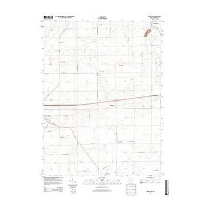
 2016 Moulton2016 Print · USGSCovers Saint Marys, including Moulton, New Knoxville, and other nearby areas
 - 2016 Map of Saint Marys, 2016 Print
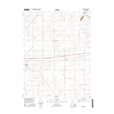
 2016 Saint Marys2016 Print · USGSCovers Saint Marys, including Club Island, Villa Nova, and other nearby areas
 - 2019 Map of Saint Marys, 2019 Print
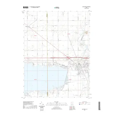 2019 Saint Marys2019 Print · USGSCovers Saint Marys, including Club Island, Villa Nova, and other nearby areas
 - 2019 Map of Moulton, 2019 Print
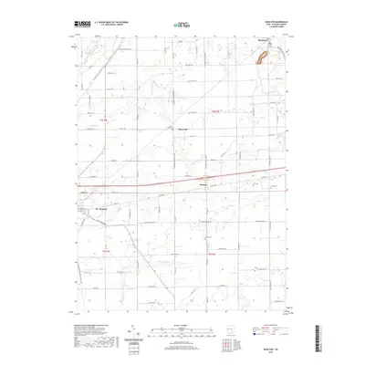 2019 Moulton2019 Print · USGSCovers Saint Marys, including Moulton, New Knoxville, and other nearby areas
 - 2023 Map of Moulton, 2023 Print
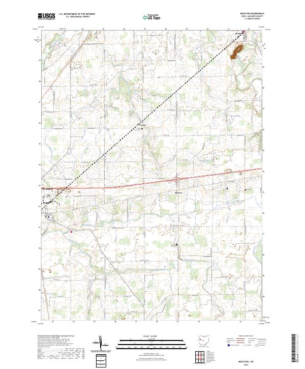 2023 Moulton2023 Print · USGSAuglaize County is mapped here in its modern agricultural character, featuring the rural settlements of St. Marys, Buckland, and Moulton. Researchers can locate family sites and cemeteries like Arnett Cem and Saint Thomas Cem or trace the path of the North Country National Scenic Trl.
 - 2023 Map of Saint Marys, 2023 Print
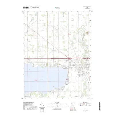 2023 Saint Marys2023 Print · USGSThe border of Mercer and Auglaize Counties is captured here in the early twenty-first century as it borders the expansive Grand Lake. Genealogists can trace family sites at Neptune Cem and Elm Grove Cem or explore the corridor of the Miami & Erie Canal St.
End of results
Showing maps 1-10 of 10
Top cities near Saint Marys
- Sidney historical maps
- Celina historical maps
- Wapakoneta historical maps
- Coldwater historical maps
- Fort Shawnee historical maps
- New Bremen historical maps
See more
Frequently asked questions
- What are the different types of historical maps available for Saint Marys?
- What is the oldest map of Saint Marys?
- Where can I purchase historical maps of Saint Marys for my home or office?
- Where can I download high-res historical maps of Saint Marys?
- Are there historical topographic maps available for Saint Marys?
- Is there historical aerial imagery available for Saint Marys?
- Where are historical maps of Saint Marys sourced from?