Old Maps of Wapakoneta, Ohio for Academic Research
Study the evolution of Wapakoneta with 10 high-resolution historic maps. Whether you're teaching, researching, or modeling changes in land use, these maps provide essential visual documentation of urban, environmental, and geographic change.
- Analyze long-term change: Track patterns in development, transportation, and natural features.
- Ideal for environmental or urban studies: Support academic projects with primary historical map data.
- Use in the classroom or lab: Educators and researchers rely on these maps to bring historical context to life.
These maps are a powerful tool for teaching, research, and visualizing how Wapakoneta has changed over the decades.
Wapakoneta, OH maps
(10)- 1906 Map of Lima, 1943 Print
 1906 Lima1943 Print · USGSNorthwest Ohio’s industrial heart beats at the turn of the century, dominated by a dense rail network. Trace the early Buckeye oil era through the Oil Tanks near Lima or locate family roots in Cridersville, Uniopolis, and Wapakoneta.2 unique versions available
 - 1953 Map of Muncie, 1966 Print
 1953 Muncie1966 Print · USGSIndiana and Ohio borderlands thrive in the early fifties, showing a landscape defined by manufacturing cities and an intensive railroad network. Genealogists can trace family roots across the Indiana-Ohio line through Muncie, Celina, and Portland via the Pennsylvania railroad.5 unique versions available
 - 1956 Map of Muncie
 1956 Muncie1956 Print · USGSEastern Indiana and western Ohio are shown at a peak of rail-driven industry in the mid-fifties. Genealogists and rail historians can trace the paths of the Pennsylvania RR through Muncie or locate landmarks like Lake Saint Marys (Grand Lake Reservoir) and Frances Slocum State Forest.
 - 1961 Map of Wapakoneta, 1962 Print
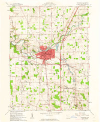 1961 Wapakoneta1962 Print · USGSWapakoneta and its surrounding townships are shown in the early sixties as new interstate travel begins to reshape the traditional landscape. Researchers can trace ancestral roots through numerous family plots like Stevely Cem or locate old civic hubs like the Blume Sch Library.4 unique versions available
 - 1986 Map of Lima
 1986 Lima1986 Print · USGSWest Ohio and East Indiana are captured here in the mid-1980s, showcasing a landscape of productive farmland and industrial transit hubs. Genealogists and historians can trace the development of Lima and Van Wert or locate landmarks like Woodland Chapel and the Lima Ordnance Modification Center.3 unique versions available
 - 2010 Map of Wapakoneta, 2010 Print
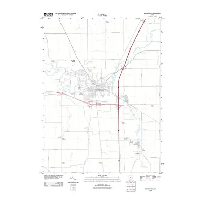 2010 Wapakoneta2010 Print · USGSCovers Wapakoneta, including Fryburg, Auglaize County, and other nearby areas
 - 2013 Map of Wapakoneta, 2013 Print
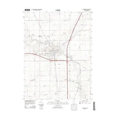 2013 Wapakoneta2013 Print · USGSCovers Wapakoneta, including Fryburg, Auglaize County, and other nearby areas
 - 2016 Map of Wapakoneta, 2016 Print
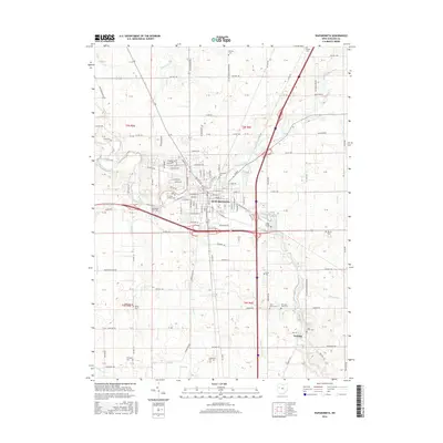 2016 Wapakoneta2016 Print · USGSCovers Wapakoneta, including Fryburg, Auglaize County, and other nearby areas
 - 2019 Map of Wapakoneta, 2019 Print
 2019 Wapakoneta2019 Print · USGSCovers Wapakoneta, including Fryburg, Auglaize County, and other nearby areas
 - 2023 Map of Wapakoneta, 2023 Print
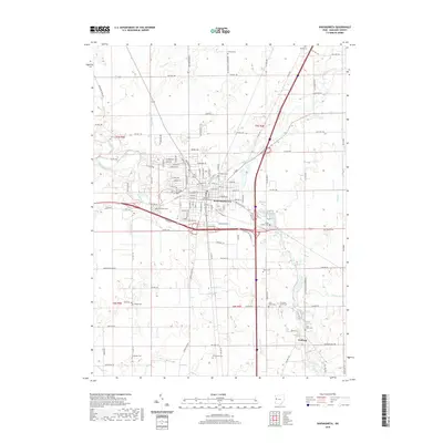
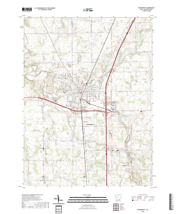 2023 Wapakoneta2023 Print · USGSAuglaize County, Ohio, maintains its rural character and civic importance in this recent survey. Genealogists can trace family roots through numerous burial sites like Hittepole Cem, Evergreen Cem, and the community of Fryburg.
End of results
Showing maps 1-10 of 10
Top cities near Wapakoneta
- Lima historical maps
- Saint Marys historical maps
- Fort Shawnee historical maps
- New Bremen historical maps
- Minster historical maps
- Spencerville historical maps
See more
Top neighborhoods of Wapakoneta
- Clover Ridge historical maps
- Georgetown Estates historical maps
- Glynwood Heights historical maps
- Grandview Estates historical maps
- Kah Addition historical maps
- Ardmore Addition historical maps
See more
Frequently asked questions
- What are the different types of historical maps available for Wapakoneta?
- What is the oldest map of Wapakoneta?
- Where can I purchase historical maps of Wapakoneta for my home or office?
- Where can I download high-res historical maps of Wapakoneta?
- Are there historical topographic maps available for Wapakoneta?
- Is there historical aerial imagery available for Wapakoneta?
- Where are historical maps of Wapakoneta sourced from?