2000s (21st Century) Maps of Martins Ferry, Ohio
Explore 10 historic maps of Martins Ferry from the 2000s (21st Century). These maps offer a rare glimpse into what life looked like during the 2000s — showing old roads, neighborhoods, homes, and landmarks that have changed or disappeared over time.
Whether you're researching your family's past, planning a metal detecting trip, or studying how Martins Ferry's landscape evolved across the 2000s, these high-resolution maps are a powerful tool for exploring the history of this region.
- Focus on a specific era: All maps on this page are from the 2000s, giving you a focused view of this time period.
- See what’s changed: Compare century-old streets, trails, and buildings to today's modern landscape using overlays and satellite layers.
- Research with precision: Use these maps for genealogy, historical research, land use analysis, or educational projects.
- View, download, or print: Maps are fully viewable online in high resolution, and can be downloaded or printed for your own records.
Start exploring Martins Ferry's history through authentic maps from the 2000s. This is your window into the past.
Martins Ferry, OH maps
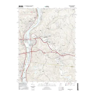
(10)- 2011 Map of Wheeling, 2011 Print
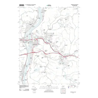 2011 Wheeling2011 Print · USGSCovers Martins Ferry, including Wheeling, Bellaire, and other nearby areas
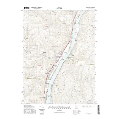
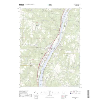
 - 2011 Map of Tiltonsville, 2011 Print
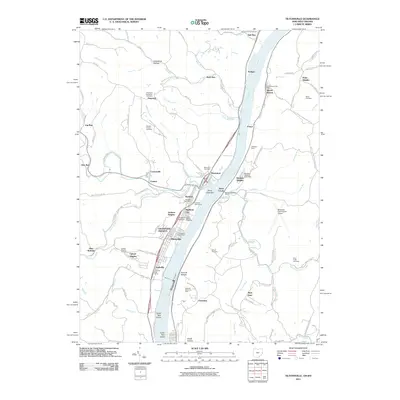 2011 Tiltonsville2011 Print · USGSCovers Martins Ferry, including Wheeling, Tiltonsville, and other nearby areas
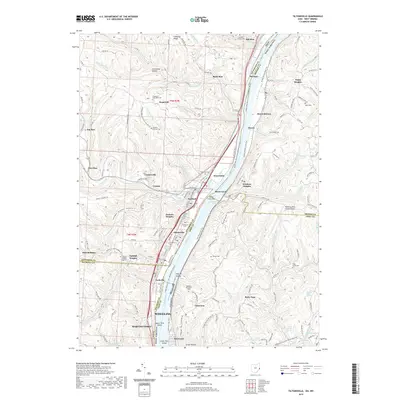
 - 2013 Map of Tiltonsville, 2013 Print
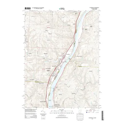 2013 Tiltonsville2013 Print · USGSCovers Martins Ferry, including Wheeling, Tiltonsville, and other nearby areas
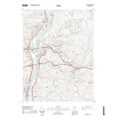
 - 2014 Map of Wheeling, 2014 Print
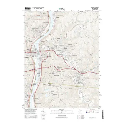 2014 Wheeling2014 Print · USGSCovers Martins Ferry, including Wheeling, Bellaire, and other nearby areas
 - 2016 Map of Wheeling, 2016 Print
 2016 Wheeling2016 Print · USGSCovers Martins Ferry, including Wheeling, Bellaire, and other nearby areas
 - 2016 Map of Tiltonsville, 2016 Print
 2016 Tiltonsville2016 Print · USGSCovers Martins Ferry, including Wheeling, Tiltonsville, and other nearby areas
 - 2019 Map of Tiltonsville, 2019 Print
 2019 Tiltonsville2019 Print · USGSCovers Martins Ferry, including Wheeling, Tiltonsville, and other nearby areas
 - 2019 Map of Wheeling, 2019 Print
 2019 Wheeling2019 Print · USGSCovers Martins Ferry, including Wheeling, Bellaire, and other nearby areas
 - 2023 Map of Wheeling, 2023 Print
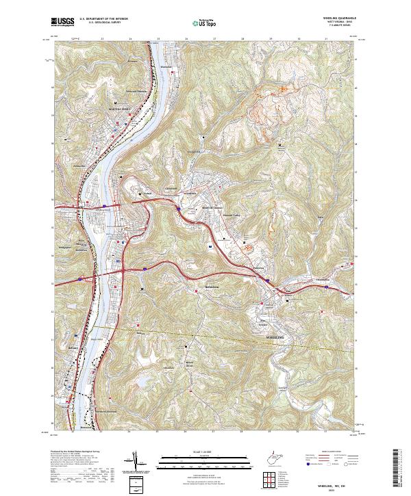 2023 Wheeling2023 Print · USGSThe industrial corridor of the Ohio River is captured here in a contemporary context, showcasing the dense riverfront development of WHEELING and MARTINS FERRY. Genealogists and historians can trace numerous family burial grounds like Mount Olivet Cem and Greenwood Cem, or explore the repurposed industrial paths along the Wheeling Creek Rail-Trl.
 - 2023 Map of Tiltonsville, 2023 Print
 2023 Tiltonsville2023 Print · USGSThe riverfront communities of the Ohio Valley come into focus here during the early twenty-first century. Genealogists and local researchers can trace family plots at Warrenton Cem and Short Creek Cem or locate the ancient Indian Mound near Tiltonsville.
End of results
Showing maps 1-10 of 10
Top cities near Martins Ferry
- Wheeling historical maps
- Steubenville historical maps
- Moundsville historical maps
- St. Clairsville historical maps
- Saint Clairsville historical maps
- Colerain historical maps
See more
Top neighborhoods of Martins Ferry
Frequently asked questions
- What are the different types of historical maps available for Martins Ferry?
- What is the oldest map of Martins Ferry?
- Where can I purchase historical maps of Martins Ferry for my home or office?
- Where can I download high-res historical maps of Martins Ferry?
- Are there historical topographic maps available for Martins Ferry?
- Is there historical aerial imagery available for Martins Ferry?
- Where are historical maps of Martins Ferry sourced from?