Old Maps of Bluffton, Ohio for Hiking & Exploration
Hike through history with 17 historic maps of Bluffton. Explore old trails, ghost towns, and forgotten backroads — perfect for outdoor adventurers and local explorers.
- Rediscover forgotten places: Map out old mining camps, roads, and footpaths that no longer exist on modern maps.
- Layer with modern tools: Combine with LiDAR or satellite views to plan hikes through historical terrain.
- Made for exploration: Popular among hikers, overlanders, and local history lovers.
Use these maps to find adventure and explore the hidden past of Bluffton.
Bluffton, OH maps
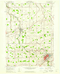
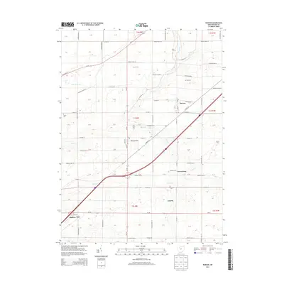
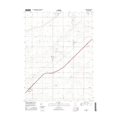
(17)- 1907 Map of Bluffton
 1907 Bluffton1907 Print · USGSNorthwestern Ohio at the height of the steam and electric rail era shows a landscape of growing college towns and productive farmland. Trace the intersection of the Ohio Northern RR and Lake Erie and Western RR, or find vanished community hubs like Lafayette Herring PO and the Hillsville School.3 unique versions available
 - 1950 Map of Marion
 1950 Marion1950 Print · USGSCentral Ohio was a powerhouse of rail and river industry at the mid-century point, serving as a vital corridor between the Great Lakes and the Ohio River valley. Genealogists and rail historians can trace the paths of the Erie RR and Nickel Plate Road through towns like Bucyrus, Galion, and Upper Sandusky.
 - 1960 Map of Bluffton, 1961 Print
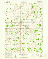
 1960 Bluffton1961 Print · USGSAgricultural life in Allen and Putnam counties reached a mid-century peak when rail lines and country roads still defined the local economy. Genealogists and historians can trace family-named landmarks like Hilty Cem and institutional hubs such as Bluffton College.4 unique versions available
 - 1960 Map of Rawson, 1961 Print
 1960 Rawson1961 Print · USGSHancock County in the early sixties centers on the rail-linked communities of Rawson and Mount Cory. Genealogists and local historians can trace family ties at Flick Cem, visit the Olive Branch Ch, or locate the old Bluffton Landing Field.2 unique versions available
 - 1962 Map of Marion
 1962 Marion1962 Print · USGSCentral Ohio during the post-war era showcases a dense network of railroad towns and emerging interstate highways. Genealogists can trace family roots in smaller settlements like Houcktown and Marseilles or locate landmarks near Indian Lake.
 - 1966 Map of Marion, 1968 Print
 1966 Marion1968 Print · USGSCentral Ohio in the mid-sixties is captured during a period of rapid highway expansion and industrial connectivity. Genealogists and historians can trace rail-and-river networks through towns like Marion, Urbana, and Mount Vernon, or locate landmarks such as Malabar Farm and Black Hand Rock.3 unique versions available
 - 1986 Map of Marion
 1986 Marion1986 Print · USGSNorthwest Ohio's agricultural and rail heartland is captured here in the mid-1980s, centered on the expansion of Marion and Kenton. Genealogists can trace family footprints near Bluffton College, old rail stops like Dola, and landmarks such as Indian Lake State Park.2 unique versions available
 - 2010 Map of Rawson, 2010 Print
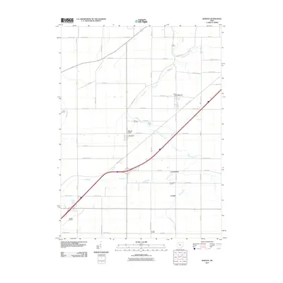 2010 Rawson2010 Print · USGSCovers Bluffton, including Mount Cory, Cannonsburg, and other nearby areas
 - 2010 Map of Bluffton, 2010 Print
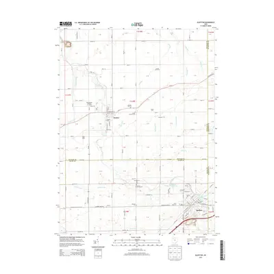
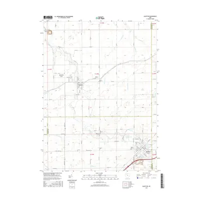
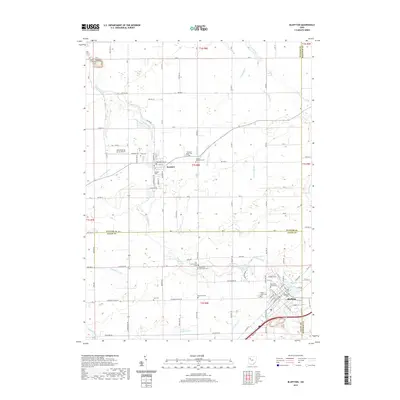
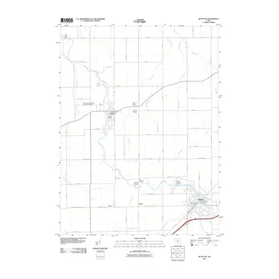 2010 Bluffton2010 Print · USGSCovers Bluffton, including Pandora, Richland Township, and other nearby areas
 - 2013 Map of Rawson, 2013 Print
 2013 Rawson2013 Print · USGSCovers Bluffton, including Mount Cory, Cannonsburg, and other nearby areas
 - 2013 Map of Bluffton, 2013 Print
 2013 Bluffton2013 Print · USGSCovers Bluffton, including Pandora, Richland Township, and other nearby areas
 - 2016 Map of Bluffton, 2016 Print
 2016 Bluffton2016 Print · USGSCovers Bluffton, including Pandora, Richland Township, and other nearby areas
 - 2016 Map of Rawson, 2016 Print
 2016 Rawson2016 Print · USGSCovers Bluffton, including Mount Cory, Cannonsburg, and other nearby areas
 - 2019 Map of Bluffton, 2019 Print
 2019 Bluffton2019 Print · USGSCovers Bluffton, including Pandora, Richland Township, and other nearby areas
 - 2019 Map of Rawson, 2019 Print
 2019 Rawson2019 Print · USGSCovers Bluffton, including Mount Cory, Cannonsburg, and other nearby areas
 - 2023 Map of Bluffton, 2023 Print
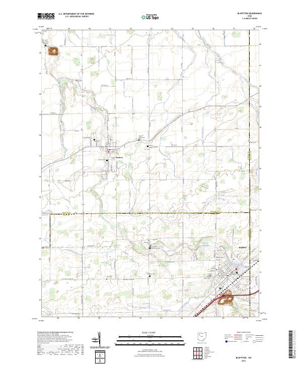 2023 Bluffton2023 Print · USGSThe borderlands of Putnam and Allen counties are captured in this recent survey, showcasing the enduring rural character of the region. Genealogists can trace family heritage through numerous burial sites like Pleasant Ridge Cem and Maple Grove Cem near Bluffton University.
 - 2023 Map of Rawson, 2023 Print
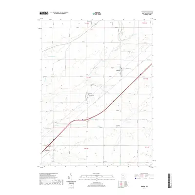
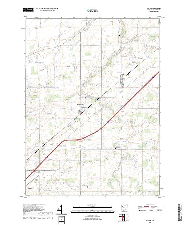 2023 Rawson2023 Print · USGSHancock County farmland and quiet village centers define this recent survey of west-central Ohio. Family historians can locate ancestral burial grounds like Flick Cem and Smith Cem or trace the watercourses of Marsh Run and Dukes Run.
End of results
Showing maps 1-17 of 17
Top cities near Bluffton
- Findlay historical maps
- Lima historical maps
- Ada historical maps
- Ottawa historical maps
- Fort Shawnee historical maps
- Leipsic historical maps
See more
Top neighborhoods of Bluffton
Frequently asked questions
- What are the different types of historical maps available for Bluffton?
- What is the oldest map of Bluffton?
- Where can I purchase historical maps of Bluffton for my home or office?
- Where can I download high-res historical maps of Bluffton?
- Are there historical topographic maps available for Bluffton?
- Is there historical aerial imagery available for Bluffton?
- Where are historical maps of Bluffton sourced from?