2000s (21st Century) Maps of Orange Township, Ohio
Explore 20 historic maps of Orange Township from the 2000s (21st Century). These maps offer a rare glimpse into what life looked like during the 2000s — showing old roads, neighborhoods, homes, and landmarks that have changed or disappeared over time.
Whether you're researching your family's past, planning a metal detecting trip, or studying how Orange Township's landscape evolved across the 2000s, these high-resolution maps are a powerful tool for exploring the history of this region.
- Focus on a specific era: All maps on this page are from the 2000s, giving you a focused view of this time period.
- See what’s changed: Compare century-old streets, trails, and buildings to today's modern landscape using overlays and satellite layers.
- Research with precision: Use these maps for genealogy, historical research, land use analysis, or educational projects.
- View, download, or print: Maps are fully viewable online in high resolution, and can be downloaded or printed for your own records.
Start exploring Orange Township's history through authentic maps from the 2000s. This is your window into the past.
Orange Township, OH maps
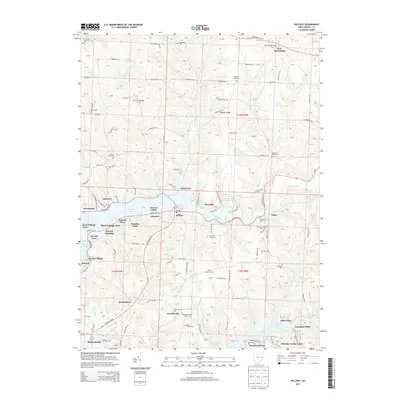
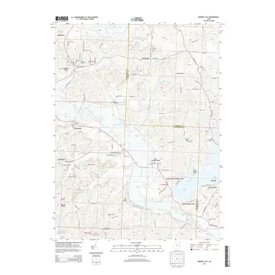
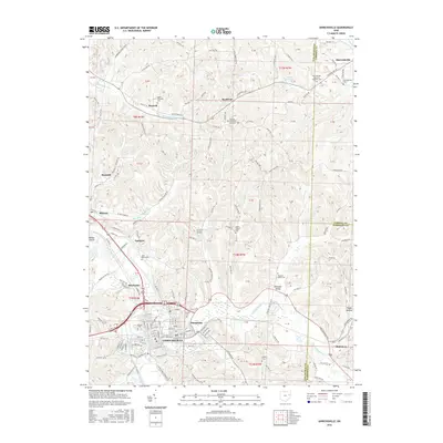
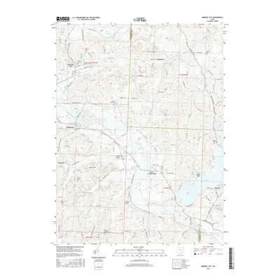
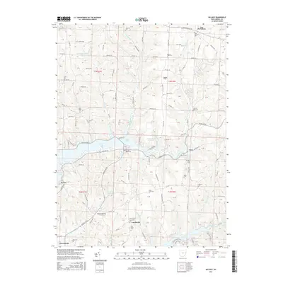
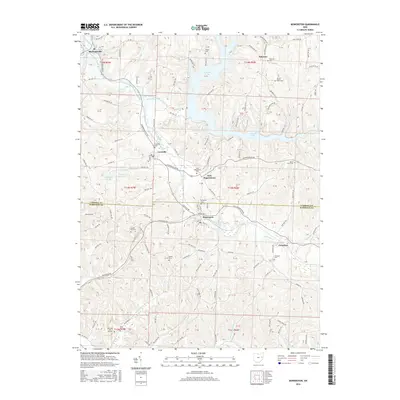
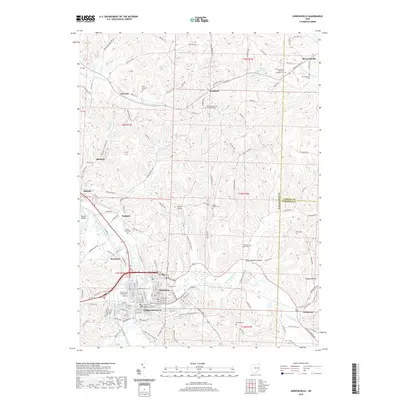
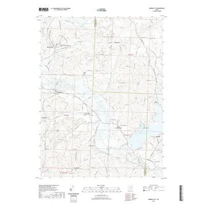
(20)- 2010 Map of Mineral City, 2010 Print
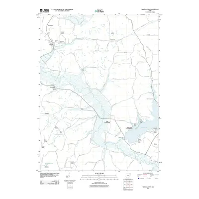 2010 Mineral City2010 Print · USGSCovers Orange Township, including Mineral City, Somerdale, and other nearby areas
 - 2010 Map of Uhrichsville, 2010 Print
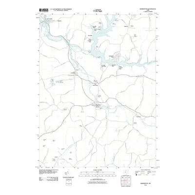
 2010 Uhrichsville2010 Print · USGSCovers Orange Township, including Uhrichsville, Dennison, and other nearby areas
 - 2010 Map of Dellroy, 2010 Print
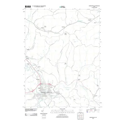
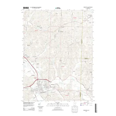
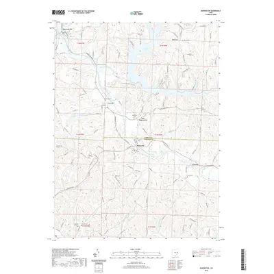
 2010 Dellroy2010 Print · USGSCovers Orange Township, including Sherrodsville, Dellroy, and other nearby areas
 - 2010 Map of Bowerston, 2010 Print
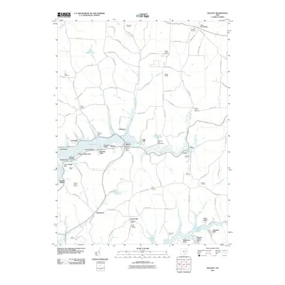
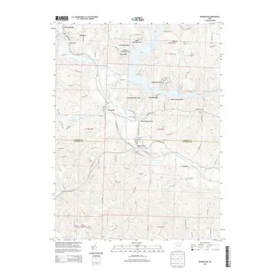
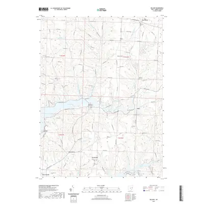
 2010 Bowerston2010 Print · USGSCovers Orange Township, including Bowerston, Sherrodsville, and other nearby areas
 - 2013 Map of Dellroy, 2013 Print
 2013 Dellroy2013 Print · USGSCovers Orange Township, including Sherrodsville, Dellroy, and other nearby areas
 - 2013 Map of Bowerston, 2013 Print
 2013 Bowerston2013 Print · USGSCovers Orange Township, including Bowerston, Sherrodsville, and other nearby areas
 - 2013 Map of Mineral City, 2013 Print
 2013 Mineral City2013 Print · USGSCovers Orange Township, including Mineral City, Somerdale, and other nearby areas
 - 2013 Map of Uhrichsville, 2013 Print
 2013 Uhrichsville2013 Print · USGSCovers Orange Township, including Uhrichsville, Dennison, and other nearby areas
 - 2016 Map of Uhrichsville, 2016 Print
 2016 Uhrichsville2016 Print · USGSCovers Orange Township, including Uhrichsville, Dennison, and other nearby areas
 - 2016 Map of Mineral City, 2016 Print
 2016 Mineral City2016 Print · USGSCovers Orange Township, including Mineral City, Somerdale, and other nearby areas
 - 2016 Map of Dellroy, 2016 Print
 2016 Dellroy2016 Print · USGSCovers Orange Township, including Sherrodsville, Dellroy, and other nearby areas
 - 2016 Map of Bowerston, 2016 Print
 2016 Bowerston2016 Print · USGSCovers Orange Township, including Bowerston, Sherrodsville, and other nearby areas
 - 2019 Map of Uhrichsville, 2019 Print
 2019 Uhrichsville2019 Print · USGSCovers Orange Township, including Uhrichsville, Dennison, and other nearby areas
 - 2019 Map of Dellroy, 2019 Print
 2019 Dellroy2019 Print · USGSCovers Orange Township, including Sherrodsville, Dellroy, and other nearby areas
 - 2019 Map of Mineral City, 2019 Print
 2019 Mineral City2019 Print · USGSCovers Orange Township, including Mineral City, Somerdale, and other nearby areas
 - 2019 Map of Bowerston, 2019 Print
 2019 Bowerston2019 Print · USGSCovers Orange Township, including Bowerston, Sherrodsville, and other nearby areas
 - 2023 Map of Dellroy, 2023 Print
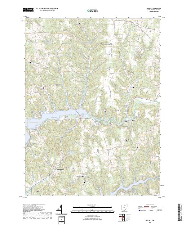 2023 Dellroy2023 Print · USGSThe rolling landscape of Carroll County is captured here in the contemporary era, centered on the waters of Atwood Lake. Researchers can trace local lineage through numerous historic burial grounds like Leavittsville Cem, Saint Lukes Cem, and Baxters Ridge Cem.
 - 2023 Map of Mineral City, 2023 Print
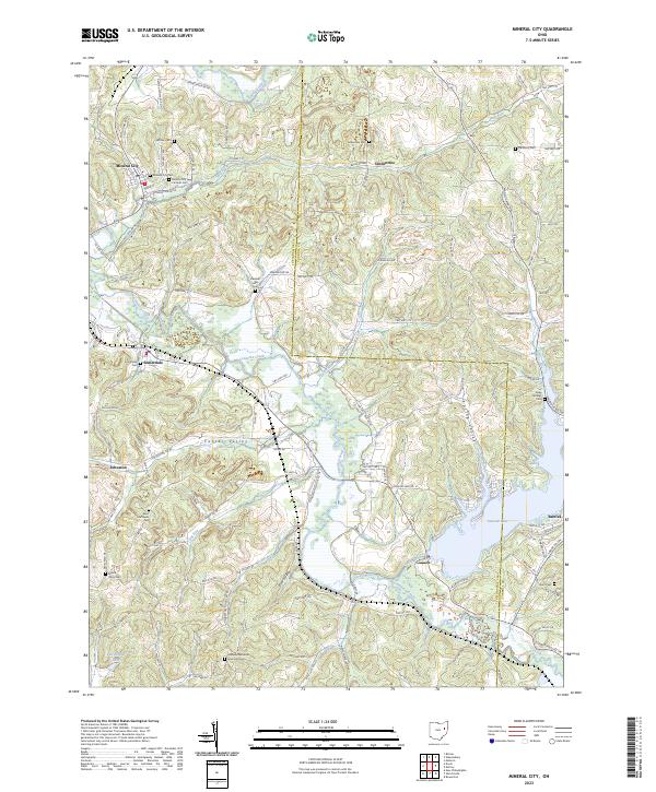 2023 Mineral City2023 Print · USGSMineral City and the surrounding hills of Tuscarawas County are captured here in the early twenty-first century. Researchers can trace family history through a dozen rural burial sites, including Saint Matthews Cem, Lindentree Cem, and the waterside Deep Springs Cem near Atwood Lake.
 - 2023 Map of Uhrichsville, 2023 Print
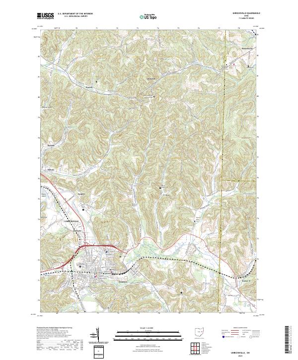 2023 Uhrichsville2023 Print · USGSThe confluence of the Tuscarawas River and Stillwater Creek anchors this recent look at the twin-city area of Uhrichsville and Dennison. Genealogists can trace local roots through several family burial grounds, including Saint Elizabeth Cem and Wesley Chapel Cem.
 - 2023 Map of Bowerston, 2023 Print
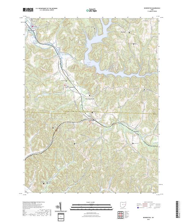 2023 Bowerston2023 Print · USGSThe rolling hill country of Carroll and Harrison Counties comes into focus in this recent survey. Local historians can trace family roots at Leesville Cem, Mount Tabor Cem, and the settlements along the winding Conotton Creek.
End of results
Showing maps 1-20 of 20
Top cities near Orange Township
- New Philadelphia historical maps
- Uhrichsville historical maps
- Goshen historical maps
- Cadiz historical maps
- Carrollton historical maps
- Dennison historical maps
See more
Top neighborhoods of Orange Township
- Leesville Hills historical maps
- Leesville Lake Park historical maps
- New Hagerstown historical maps
- Thornhill historical maps
- Pines Cottage Area historical maps
- Hazelton historical maps
See more
Frequently asked questions
- What are the different types of historical maps available for Orange Township?
- What is the oldest map of Orange Township?
- Where can I purchase historical maps of Orange Township for my home or office?
- Where can I download high-res historical maps of Orange Township?
- Are there historical topographic maps available for Orange Township?
- Is there historical aerial imagery available for Orange Township?
- Where are historical maps of Orange Township sourced from?