2020s Maps of Enon, Ohio
Explore 2 historic maps of Enon from the 2020s. These maps offer a rare glimpse into what life looked like during the 2020s — showing old roads, neighborhoods, homes, and landmarks that have changed or disappeared over time.
Whether you're researching your family's past, planning a metal detecting trip, or studying how Enon's landscape evolved across the 2020s, these high-resolution maps are a powerful tool for exploring the history of this region.
- Focus on a specific era: All maps on this page are from the 2020s, giving you a focused view of this time period.
- See what’s changed: Compare century-old streets, trails, and buildings to today's modern landscape using overlays and satellite layers.
- Research with precision: Use these maps for genealogy, historical research, land use analysis, or educational projects.
- View, download, or print: Maps are fully viewable online in high resolution, and can be downloaded or printed for your own records.
Start exploring Enon's history through authentic maps from the 2020s. This is your window into the past.
Enon, OH maps
(2)- 2023 Map of Yellow Springs, 2023 Print
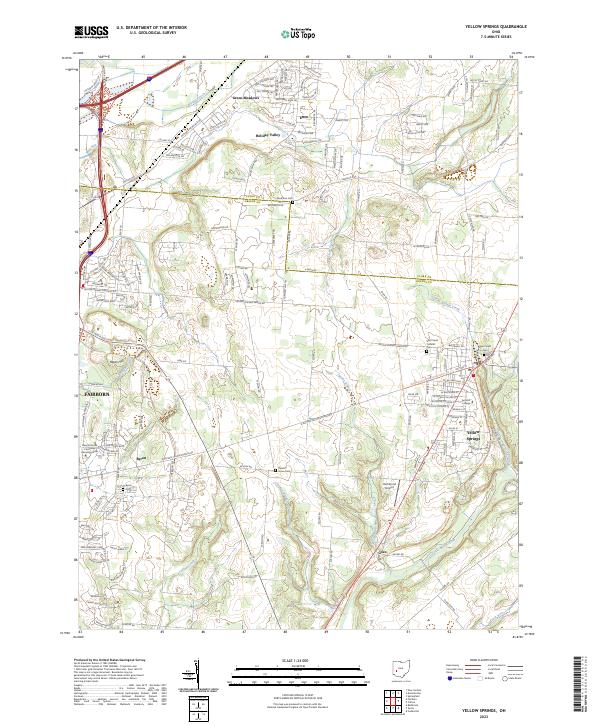 2023 Yellow Springs2023 Print · USGSThe village of Yellow Springs and its surrounding Greene County townships are captured in this modern survey. Researchers can trace local history through Antioch College and numerous burial grounds including Glen Forest Cem and Byron Cem.
 - 2023 Map of Donnelsville, 2023 Print
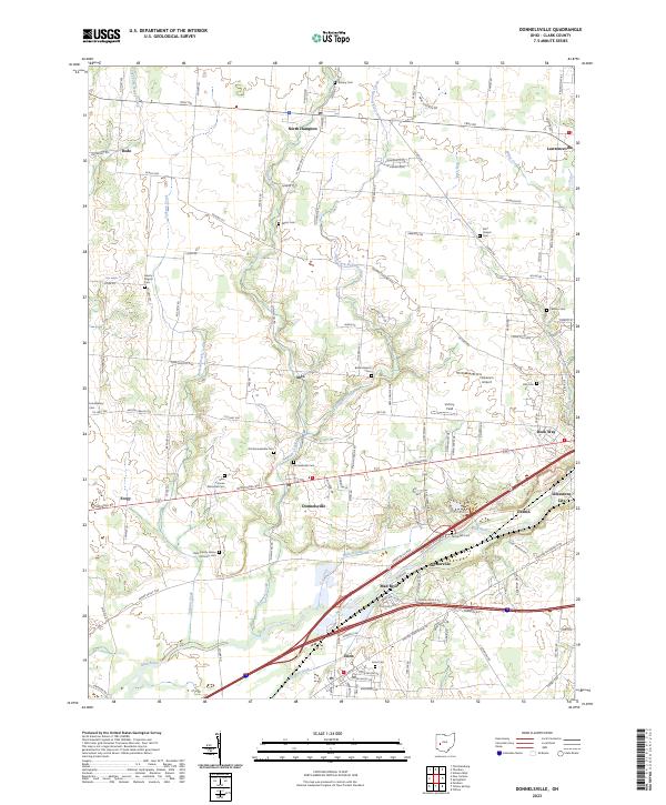 2023 Donnelsville2023 Print · USGSModern Clark County comes into focus as the Mad River flows past growing communities and traditional farmsteads. Genealogists can trace family lines through numerous burial sites like Glen Haven Memorial Cem and the Clark County Home Infirmary Cem.
End of results
Showing maps 1-2 of 2
Top cities near Enon
- Dayton historical maps
- Springfield historical maps
- Kettering historical maps
- Beavercreek historical maps
- Huber Heights historical maps
- Fairborn historical maps
See more
Top neighborhoods of Enon
- Houck Meadows historical maps
- Indian Valley Estates historical maps
- Enon Mobile Home Park historical maps
Frequently asked questions
- What are the different types of historical maps available for Enon?
- What is the oldest map of Enon?
- Where can I purchase historical maps of Enon for my home or office?
- Where can I download high-res historical maps of Enon?
- Are there historical topographic maps available for Enon?
- Is there historical aerial imagery available for Enon?
- Where are historical maps of Enon sourced from?