2000s (21st Century) Maps of Moultrie, Ohio
Explore 5 historic maps of Moultrie from the 2000s (21st Century). These maps offer a rare glimpse into what life looked like during the 2000s — showing old roads, neighborhoods, homes, and landmarks that have changed or disappeared over time.
Whether you're researching your family's past, planning a metal detecting trip, or studying how Moultrie's landscape evolved across the 2000s, these high-resolution maps are a powerful tool for exploring the history of this region.
- Focus on a specific era: All maps on this page are from the 2000s, giving you a focused view of this time period.
- See what’s changed: Compare century-old streets, trails, and buildings to today's modern landscape using overlays and satellite layers.
- Research with precision: Use these maps for genealogy, historical research, land use analysis, or educational projects.
- View, download, or print: Maps are fully viewable online in high resolution, and can be downloaded or printed for your own records.
Start exploring Moultrie's history through authentic maps from the 2000s. This is your window into the past.
Moultrie, OH maps
(5)- 2010 Map of Homeworth, 2010 Print
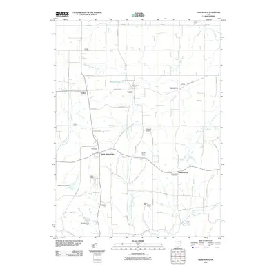 2010 Homeworth2010 Print · USGSCovers Moultrie, including Minerva, Washington Township, and other nearby areas
 - 2013 Map of Homeworth, 2013 Print
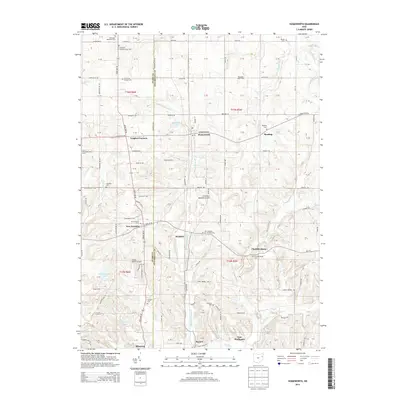 2013 Homeworth2013 Print · USGSCovers Moultrie, including Minerva, Washington Township, and other nearby areas
 - 2016 Map of Homeworth, 2016 Print
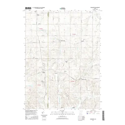 2016 Homeworth2016 Print · USGSCovers Moultrie, including Minerva, Washington Township, and other nearby areas
 - 2019 Map of Homeworth, 2019 Print
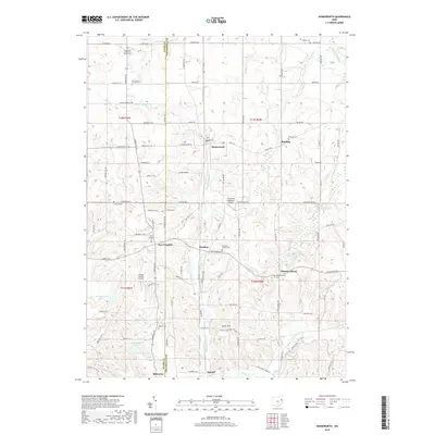 2019 Homeworth2019 Print · USGSCovers Moultrie, including Minerva, Washington Township, and other nearby areas
 - 2023 Map of Homeworth, 2023 Print
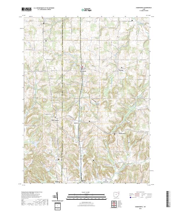 2023 Homeworth2023 Print · USGSThe rural borderlands of Stark and Columbiana counties are captured here in the early twenty-first century, featuring a dense network of historic hamlets. Researchers can locate family sites at Moultrie Chapel Cem, Walker Cem, or the small settlement of Homeworth.
End of results
Showing maps 1-5 of 5
Top cities near Moultrie
- Canton historical maps
- Alliance historical maps
- Salem historical maps
- Louisville historical maps
- Paris historical maps
- Lexington historical maps
See more
Frequently asked questions
- What are the different types of historical maps available for Moultrie?
- What is the oldest map of Moultrie?
- Where can I purchase historical maps of Moultrie for my home or office?
- Where can I download high-res historical maps of Moultrie?
- Are there historical topographic maps available for Moultrie?
- Is there historical aerial imagery available for Moultrie?
- Where are historical maps of Moultrie sourced from?