Old Maps of Coshocton, Ohio for Metal Detecting
Plan your next treasure hunt with 30 historic maps of Coshocton. Find old homesites, ghost towns, trails, and gathering spots that may be lost to time — perfect for identifying promising metal detecting locations.
- Locate forgotten sites: Uncover places like long-lost settlements, abandoned rail lines, or gathering spots.
- Plan better hunts: Use map overlays combined with LiDAR or satellite views to narrow in on historically rich areas.
- Made for detectorists: Thousands of hobbyists use these maps to discover relics, coins, and hidden history.
Use these historic maps to boost your research and find new opportunities beneath the surface of Coshocton.
Coshocton, OH maps
(30)- 1908 Map of Conesville, 1961 Print
 1908 Conesville1961 Print · USGSEastern Ohio at the dawn of the twentieth century was a landscape of river-valley commerce and tight-knit rural school districts. Researchers can trace the legacy of family farms and early industry through sites like Morgan Mill, Conesville, and the Science Hill School.
 - 1910 Map of Conesville, 1948 Print
 1910 Conesville1948 Print · USGSThe Muskingum River valley and the Ohio Canal are captured here in the decade before the Great War. Genealogists can trace family homesteads near dozens of rural landmarks like Young America School, Otsego, and Munroe Basin.
 - 1913 Map of Coshocton, 1964 Print
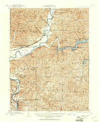
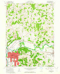
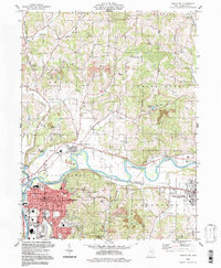
 1913 Coshocton1964 Print · USGSCoshocton and the Muskingum River headwaters are captured here just before the Great War, showing a landscape defined by the Ohio Canal and converging rail lines. Genealogists can trace family roots through dozens of rural schools like Soggy Hill School and vanished post offices like Clark PO.
 - 1915 Map of Coshocton, 1939 Print
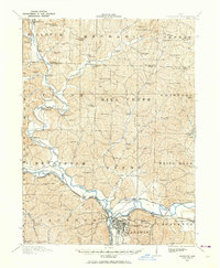
 1915 Coshocton1939 Print · USGSCoshocton and the river forks are captured here just before the Great War, showing the region's transition from canal power to a rail-driven economy. Genealogists can locate dozens of numbered district schools and rural post offices like Bloomfield Clark PO, Roscoe, and Becks Mills.2 unique versions available
 - 1943 Map of Coshocton
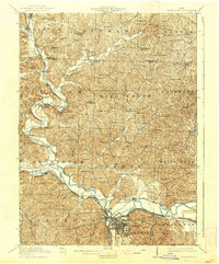
 1943 Coshocton1943 Print · USGSCoshocton and its surrounding river valleys are captured here during the early years of the war, showcasing a dense network of rural schools and rail-fed towns. Researchers can locate the COUNTY INFIRMARY, trace the old CANAL route near Canal Lewisville, or find family sites near Soggy Hill Sch and Helmick Sta.
 - 1951 Map of Canton
 1951 Canton1951 Print · USGSThe industrial heartland of Ohio and Pennsylvania reached its mid-century peak during this era of heavy rail and river transit. Genealogists and historians can trace the development of steel towns like Aliquippa and Weirton alongside the Ohio River and major lines of the Pennsylvania RR.
 - 1953 Map of Canton
 1953 Canton1953 Print · USGSThe industrial heartland of Ohio and Pennsylvania is captured at its mid-century peak in this detailed regional survey. Genealogists and historians can trace the vast rail networks of the Pennsylvania RR and find local landmarks like Nimisila Reservoir and Tappan Reservoir.
 - 1957 Map of Canton, 1971 Print
 1957 Canton1971 Print · USGSThe industrial heartland of eastern Ohio and western Pennsylvania comes alive in this mid-century survey of the Ohio River Valley. Trace the heritage of rail and river commerce through Pittsburgh, the massive steel towns along the Ohio River, and major junctions on the Pennsylvania RR.3 unique versions available
 - 1961 Map of Coshocton, 1963 Print
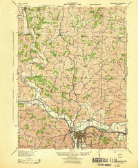
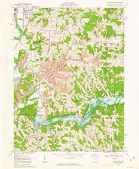
 1961 Coshocton1963 Print · USGSCoshocton and its surrounding river forks are captured here in the early sixties, showing the industrial and agricultural heart of the county. Genealogists and historians can trace the locations of Sacred Heart Ch, Oak Grove Cem, and the specialized U S Hydrologic Experiment Station.4 unique versions available
 - 1962 Map of Canton
 1962 Canton1962 Print · USGSThe industrial heartland of Eastern Ohio and Western Pennsylvania thrives in the early sixties as steel mills and rail lines dominate the river valleys. Genealogists and historians can trace local landmarks like McKinley National Memorial, Malone College, and industrial sites such as Republic Steel Corp.2 unique versions available
 - 1962 Map of Randle, 1963 Print
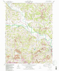
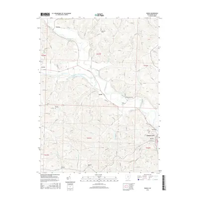
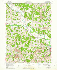 1962 Randle1963 Print · USGSCoshocton County in the early sixties shows a landscape of river-valley agriculture and growing energy extraction. Researchers can trace the old railroad grade, locate family sites near Antioch Cem, or find industrial roots at strip mines and Sixmile Dam.4 unique versions available
 - 1962 Map of Wills Creek, 1963 Print
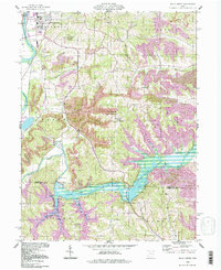
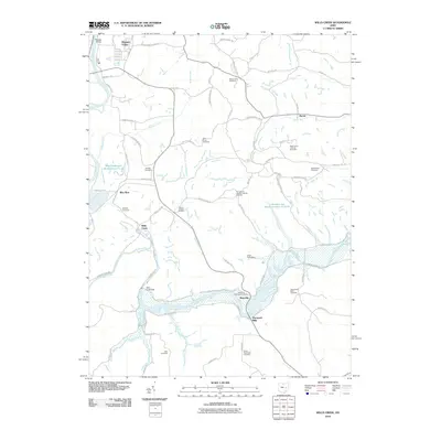
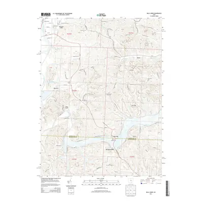
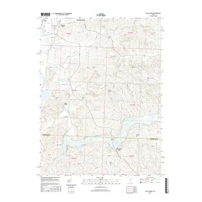
 1962 Wills Creek1963 Print · USGSCoshocton and Muskingum counties are shown in the early 1960s as the regional economy shifted between river valley agriculture and heavy industrial mining. Researchers can trace rural life through Marquand Mills, the Wills Creek Dam, and numerous sites like Zion Ch Cem.4 unique versions available
 - 1994 Map of Wills Creek, 1998 Print
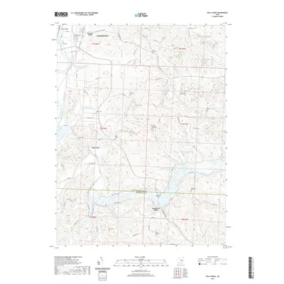
 1994 Wills Creek1998 Print · USGSThe Wills Creek valley was a hub of mining and water management in the late twentieth century. Genealogists and local researchers can trace the roads to Marquand Mills, Our Lady of Lourdes Ch, and the Wills Creek Dam.
 - 1994 Map of Coshocton, 1998 Print
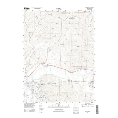
 1994 Coshocton1998 Print · USGSThe rivers of Coshocton County meet in the late twentieth century as the industrial landscape and rural townships intersect. Genealogists can locate family landmarks like South Lawn Cemetery and Amity Cem or trace the old Canal Lewisville corridor.
 - 1994 Map of Randle, 1998 Print
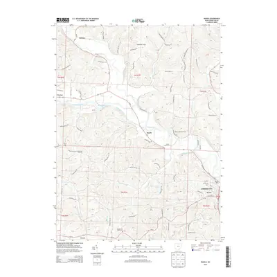
 1994 Randle1998 Print · USGSThe confluence of the Walhonding River and Tuscarawas River comes to life in the 1990s as a hub of industrial and river history. Genealogists and hikers can trace an Old Railroad Grade, find rural burials at Antioch Cem, or locate landmarks like White Woman Rock.
 - 2010 Map of Randle, 2010 Print
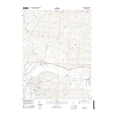
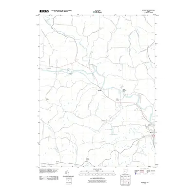 2010 Randle2010 Print · USGSCovers Coshocton, including Warsaw, Jackson Township, and other nearby areas
 - 2010 Map of Coshocton, 2010 Print
 2010 Coshocton2010 Print · USGSCovers Coshocton, including West Lafayette, Keene, and other nearby areas
 - 2010 Map of Wills Creek, 2010 Print
 2010 Wills Creek2010 Print · USGSCovers Coshocton, including Marquand Mills, Maysville, and other nearby areas
 - 2013 Map of Wills Creek, 2013 Print
 2013 Wills Creek2013 Print · USGSCovers Coshocton, including Marquand Mills, Maysville, and other nearby areas
 - 2013 Map of Coshocton, 2013 Print
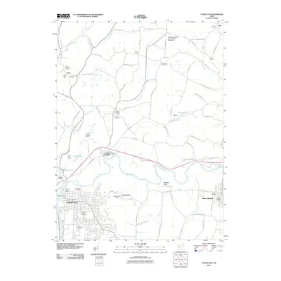
 2013 Coshocton2013 Print · USGSCovers Coshocton, including West Lafayette, Keene, and other nearby areas
 - 2013 Map of Randle, 2013 Print
 2013 Randle2013 Print · USGSCovers Coshocton, including Warsaw, Jackson Township, and other nearby areas
 - 2016 Map of Randle, 2016 Print
 2016 Randle2016 Print · USGSCovers Coshocton, including Warsaw, Jackson Township, and other nearby areas
 - 2016 Map of Coshocton, 2016 Print
 2016 Coshocton2016 Print · USGSCovers Coshocton, including West Lafayette, Keene, and other nearby areas
 - 2016 Map of Wills Creek, 2016 Print
 2016 Wills Creek2016 Print · USGSCovers Coshocton, including Marquand Mills, Maysville, and other nearby areas
 - 2019 Map of Wills Creek, 2019 Print
 2019 Wills Creek2019 Print · USGSCovers Coshocton, including Marquand Mills, Maysville, and other nearby areas
Showing maps 1-25 of 30
Top cities near Coshocton
- West Lafayette historical maps
- Keene historical maps
- Dresden historical maps
- Franklin historical maps
- Baltic historical maps
- Warsaw historical maps
See more
Top neighborhoods of Coshocton
Frequently asked questions
- What are the different types of historical maps available for Coshocton?
- What is the oldest map of Coshocton?
- Where can I purchase historical maps of Coshocton for my home or office?
- Where can I download high-res historical maps of Coshocton?
- Are there historical topographic maps available for Coshocton?
- Is there historical aerial imagery available for Coshocton?
- Where are historical maps of Coshocton sourced from?