2000s (21st Century) Maps of Keene Township, Ohio
Explore 20 historic maps of Keene Township from the 2000s (21st Century). These maps offer a rare glimpse into what life looked like during the 2000s — showing old roads, neighborhoods, homes, and landmarks that have changed or disappeared over time.
Whether you're researching your family's past, planning a metal detecting trip, or studying how Keene Township's landscape evolved across the 2000s, these high-resolution maps are a powerful tool for exploring the history of this region.
- Focus on a specific era: All maps on this page are from the 2000s, giving you a focused view of this time period.
- See what’s changed: Compare century-old streets, trails, and buildings to today's modern landscape using overlays and satellite layers.
- Research with precision: Use these maps for genealogy, historical research, land use analysis, or educational projects.
- View, download, or print: Maps are fully viewable online in high resolution, and can be downloaded or printed for your own records.
Start exploring Keene Township's history through authentic maps from the 2000s. This is your window into the past.
Keene Township, OH maps
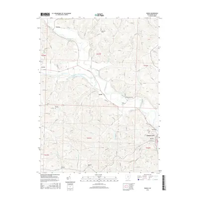
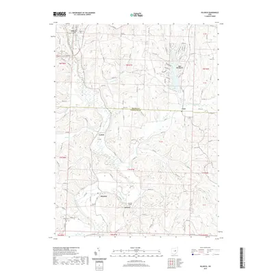
(20)- 2010 Map of Randle, 2010 Print
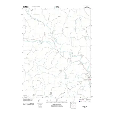 2010 Randle2010 Print · USGSCovers Keene Township, including Coshocton, Warsaw, and other nearby areas
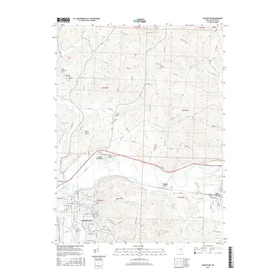
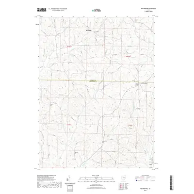
 - 2010 Map of New Bedford, 2010 Print
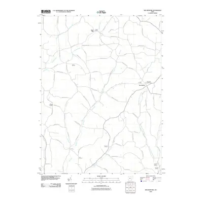 2010 New Bedford2010 Print · USGSCovers Keene Township, including Mill Creek Township, Crawford Township, and other nearby areas
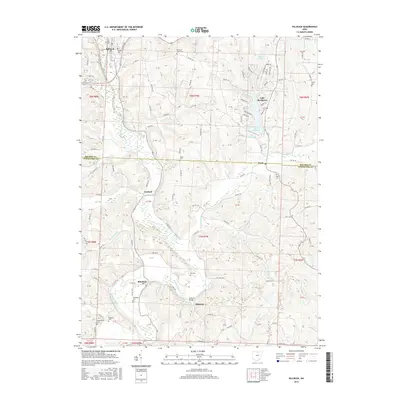
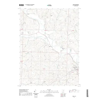
 - 2010 Map of Killbuck, 2010 Print
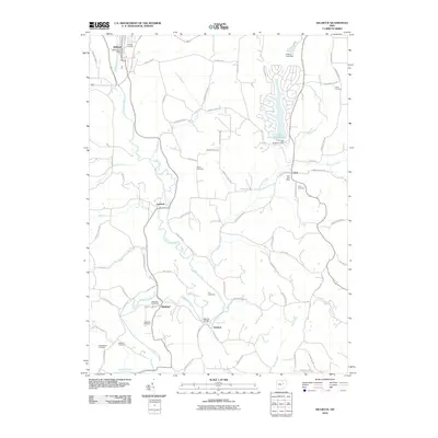 2010 Killbuck2010 Print · USGSCovers Keene Township, including Killbuck, Clark, and other nearby areas
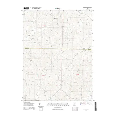
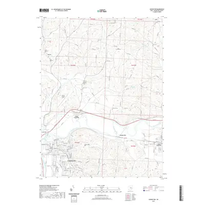
 - 2010 Map of Coshocton, 2010 Print
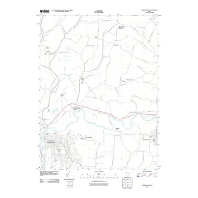 2010 Coshocton2010 Print · USGSCovers Keene Township, including Coshocton, West Lafayette, and other nearby areas
 - 2013 Map of Coshocton, 2013 Print
 2013 Coshocton2013 Print · USGSCovers Keene Township, including Coshocton, West Lafayette, and other nearby areas
 - 2013 Map of Killbuck, 2013 Print
 2013 Killbuck2013 Print · USGSCovers Keene Township, including Killbuck, Clark, and other nearby areas
 - 2013 Map of New Bedford, 2013 Print
 2013 New Bedford2013 Print · USGSCovers Keene Township, including Mill Creek Township, Crawford Township, and other nearby areas
 - 2013 Map of Randle, 2013 Print
 2013 Randle2013 Print · USGSCovers Keene Township, including Coshocton, Warsaw, and other nearby areas
 - 2016 Map of Randle, 2016 Print
 2016 Randle2016 Print · USGSCovers Keene Township, including Coshocton, Warsaw, and other nearby areas
 - 2016 Map of Coshocton, 2016 Print
 2016 Coshocton2016 Print · USGSCovers Keene Township, including Coshocton, West Lafayette, and other nearby areas
 - 2016 Map of Killbuck, 2016 Print
 2016 Killbuck2016 Print · USGSCovers Keene Township, including Killbuck, Clark, and other nearby areas
 - 2016 Map of New Bedford, 2016 Print
 2016 New Bedford2016 Print · USGSCovers Keene Township, including Mill Creek Township, Crawford Township, and other nearby areas
 - 2019 Map of Killbuck, 2019 Print
 2019 Killbuck2019 Print · USGSCovers Keene Township, including Killbuck, Clark, and other nearby areas
 - 2019 Map of New Bedford, 2019 Print
 2019 New Bedford2019 Print · USGSCovers Keene Township, including Mill Creek Township, Crawford Township, and other nearby areas
 - 2019 Map of Randle, 2019 Print
 2019 Randle2019 Print · USGSCovers Keene Township, including Coshocton, Warsaw, and other nearby areas
 - 2019 Map of Coshocton, 2019 Print
 2019 Coshocton2019 Print · USGSCovers Keene Township, including Coshocton, West Lafayette, and other nearby areas
 - 2023 Map of Killbuck, 2023 Print
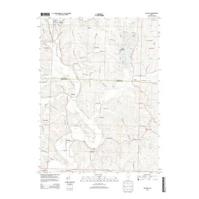
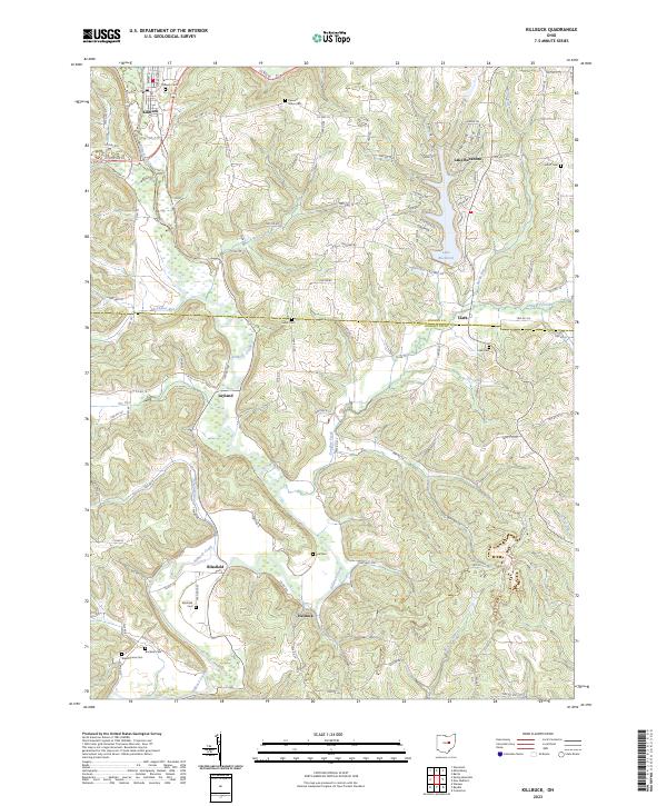 2023 Killbuck2023 Print · USGSThe Killbuck Creek valley in Holmes and Coshocton Counties is captured here in the early twenty-first century, showing the enduring rail and road networks of these rural townships. Researchers can trace family history through numerous local sites like Salem Cem, Blissfield Cem, and the village of Helmick.
 - 2023 Map of Coshocton, 2023 Print
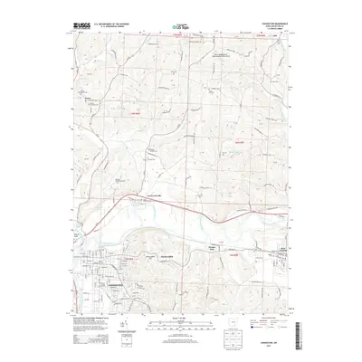
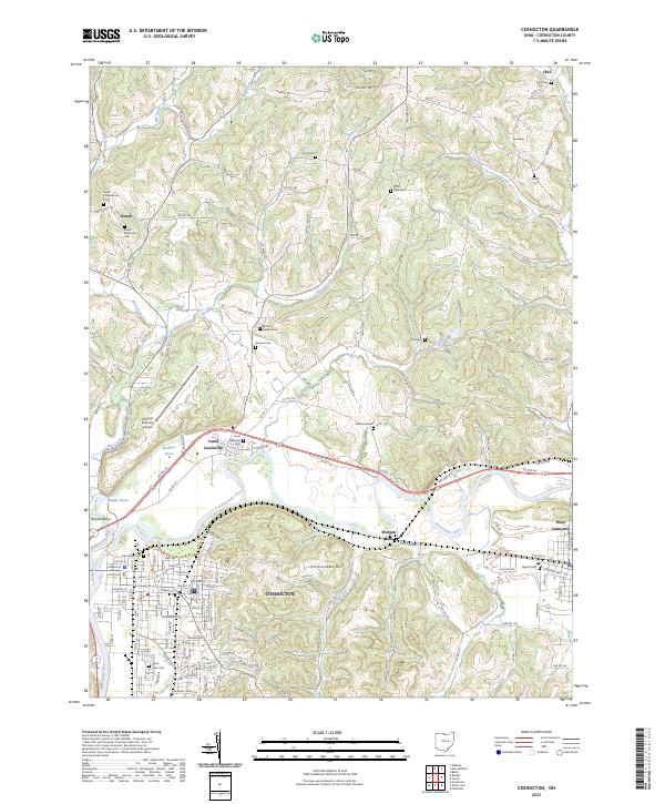 2023 Coshocton2023 Print · USGSThe river forks at Coshocton define this landscape as it appears in the early twenty-first century. Genealogists and local historians can trace family sites at Keene Methodist Cem, locate the Coshocton County Courthouse, or explore the old canal basins like Mudport Basin.
 - 2023 Map of New Bedford, 2023 Print
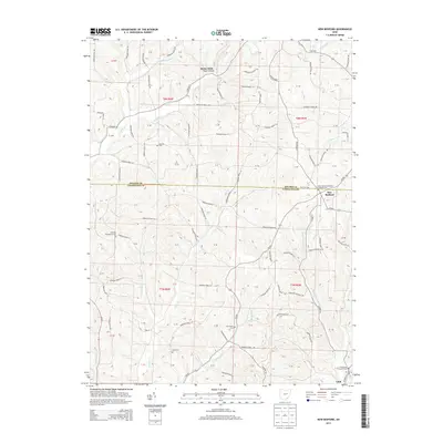
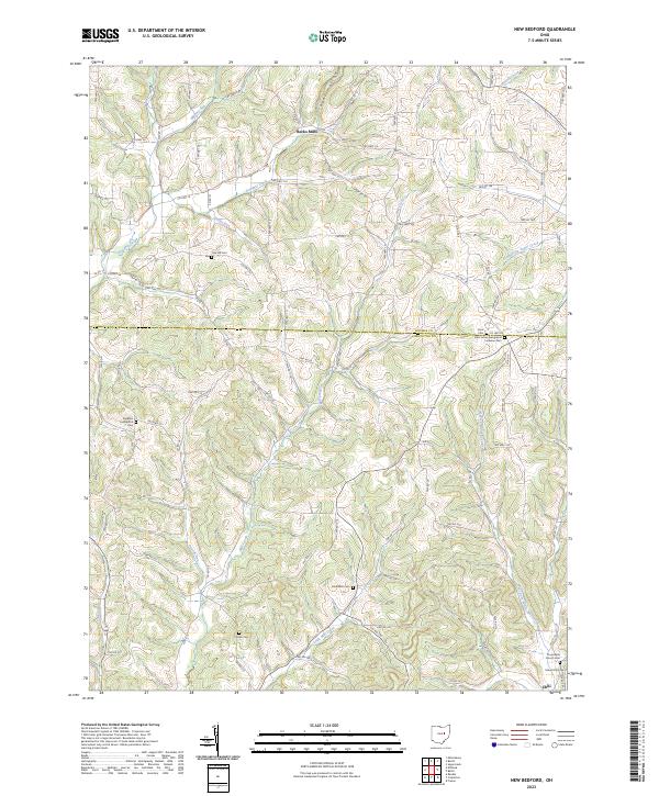 2023 New Bedford2023 Print · USGSThe rural border of Holmes and Coshocton Counties comes into focus in this recent survey of the Ohio countryside. Researchers can trace ancestral lines through numerous burial grounds like Knob Cem, Burkhardt Cem, and the settlement of Becks Mills.
 - 2023 Map of Randle, 2023 Print
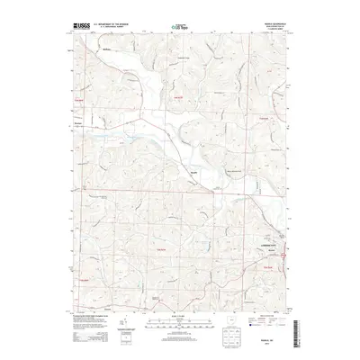
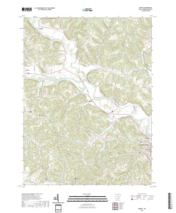 2023 Randle2023 Print · USGSCoshocton County's river valleys and ridgelines are mapped here in the modern era, showing the enduring footprint of early Ohio settlements. Trace family history at Pleasant Hill Baptist Cem or follow the historic path of the Walhonding Canal through Warsaw.
End of results
Showing maps 1-20 of 20
Top cities near Keene Township
- Coshocton historical maps
- Berlin historical maps
- Walnut Creek historical maps
- Millersburg historical maps
- West Lafayette historical maps
- Sugarcreek historical maps
See more
Top neighborhoods of Keene Township
Frequently asked questions
- What are the different types of historical maps available for Keene Township?
- What is the oldest map of Keene Township?
- Where can I purchase historical maps of Keene Township for my home or office?
- Where can I download high-res historical maps of Keene Township?
- Are there historical topographic maps available for Keene Township?
- Is there historical aerial imagery available for Keene Township?
- Where are historical maps of Keene Township sourced from?