2000s (21st Century) Maps of Crawford County, Ohio
Explore 60 historic maps of Crawford County from the 2000s (21st Century). These maps offer a rare glimpse into what life looked like during the 2000s — showing old roads, neighborhoods, homes, and landmarks that have changed or disappeared over time.
Whether you're researching your family's past, planning a metal detecting trip, or studying how Crawford County's landscape evolved across the 2000s, these high-resolution maps are a powerful tool for exploring the history of this region.
- Focus on a specific era: All maps on this page are from the 2000s, giving you a focused view of this time period.
- See what’s changed: Compare century-old streets, trails, and buildings to today's modern landscape using overlays and satellite layers.
- Research with precision: Use these maps for genealogy, historical research, land use analysis, or educational projects.
- View, download, or print: Maps are fully viewable online in high resolution, and can be downloaded or printed for your own records.
Start exploring Crawford County's history through authentic maps from the 2000s. This is your window into the past.
Crawford County, OH maps
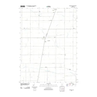
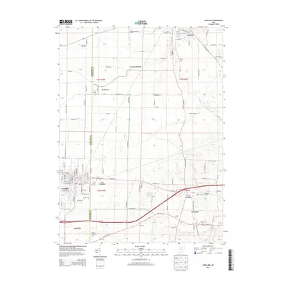
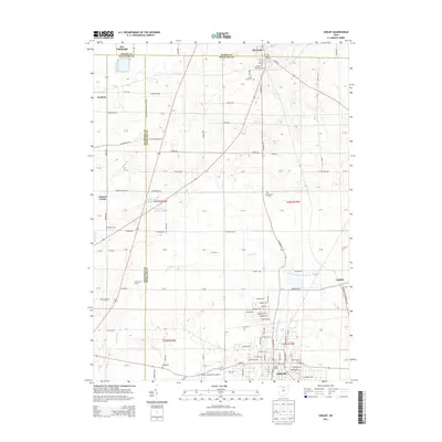
(60)- 2010 Map of Crestline, 2010 Print
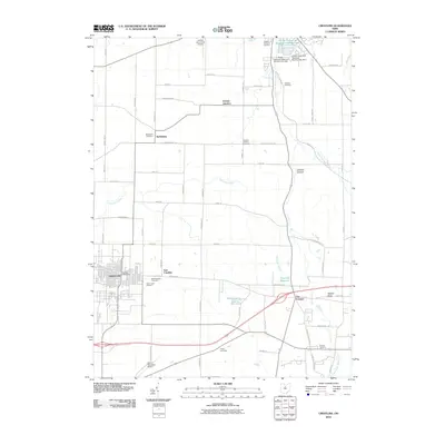 2010 Crestline2010 Print · USGSCovers Crawford County, including Galion, Shelby, and other nearby areas
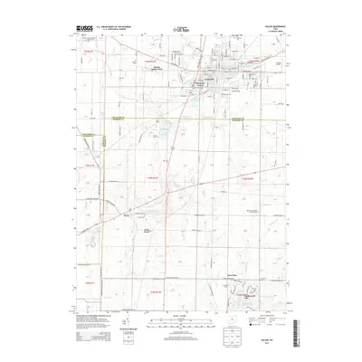
 - 2010 Map of Bucyrus, 2010 Print
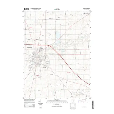
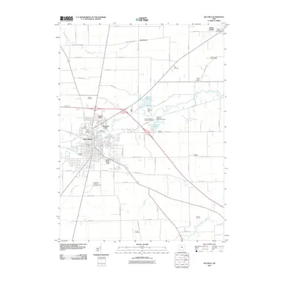 2010 Bucyrus2010 Print · USGSCovers Crawford County, including Bucyrus, Liberty Township, and other nearby areas
 - 2010 Map of Lykens, 2010 Print
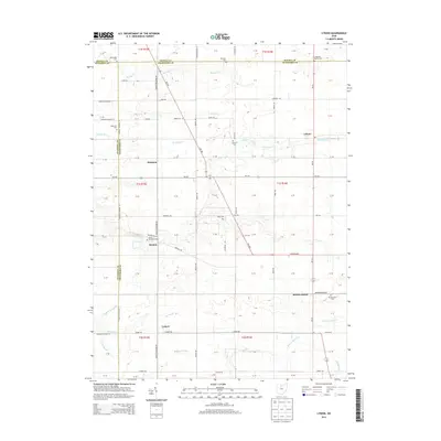
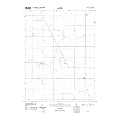 2010 Lykens2010 Print · USGSCovers Crawford County, including Lykens, Eden Township, and other nearby areas
 - 2010 Map of Galion, 2010 Print
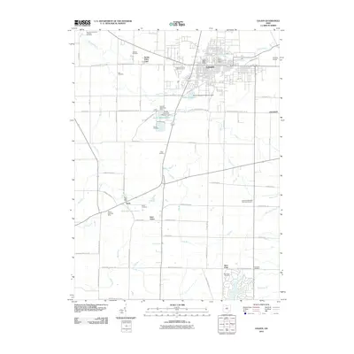 2010 Galion2010 Print · USGSCovers Crawford County, including Galion, Congress Township, and other nearby areas
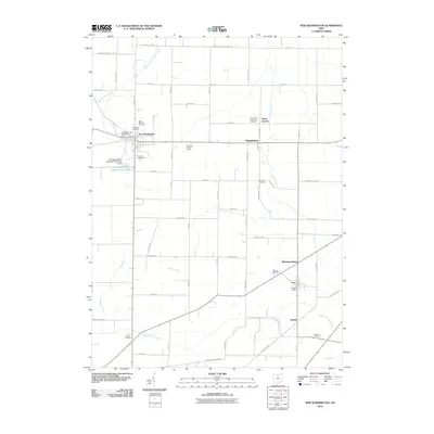
 - 2010 Map of North Robinson, 2010 Print
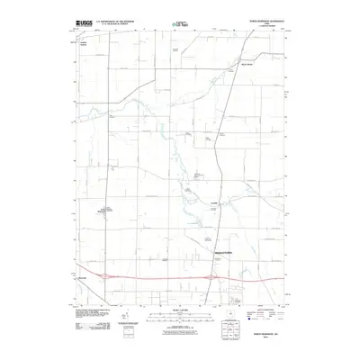 2010 North Robinson2010 Print · USGSCovers Crawford County, including Galion, Crestline, and other nearby areas
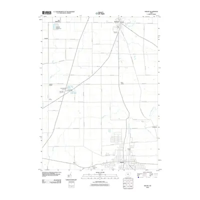
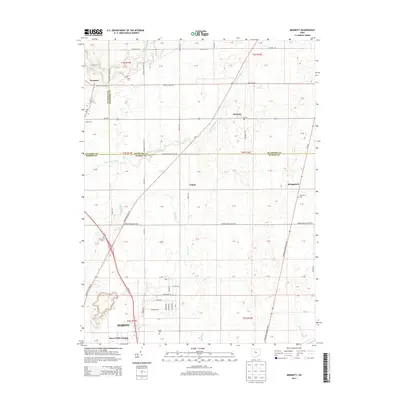
 - 2010 Map of Monnett, 2010 Print
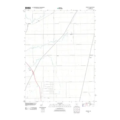 2010 Monnett2010 Print · USGSCovers Crawford County, including Marion, Wyandot, and other nearby areas
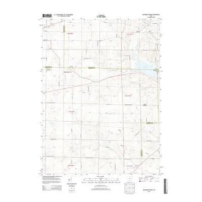
 - 2010 Map of Blooming Grove, 2010 Print
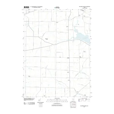 2010 Blooming Grove2010 Print · USGSCovers Crawford County, including Galion, Ontario, and other nearby areas
 - 2010 Map of Shelby, 2010 Print
 2010 Shelby2010 Print · USGSCovers Crawford County, including Shelby, Plymouth, and other nearby areas
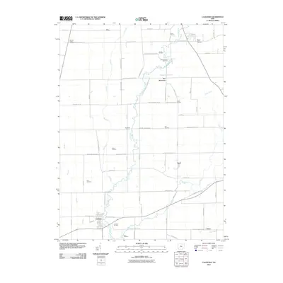
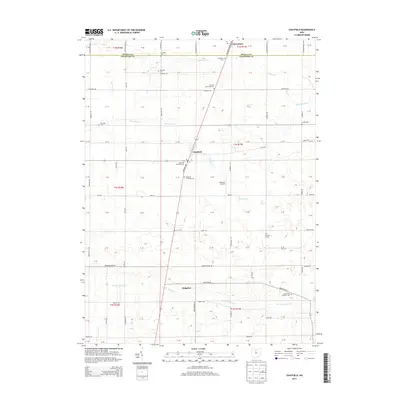
 - 2010 Map of Chatfield, 2010 Print
 2010 Chatfield2010 Print · USGSCovers Crawford County, including Chatfield, Liberty Township, and other nearby areas
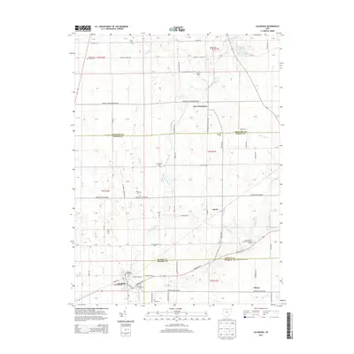
 - 2010 Map of Caledonia, 2010 Print
 2010 Caledonia2010 Print · USGSCovers Crawford County, including Caledonia, New Winchester, and other nearby areas
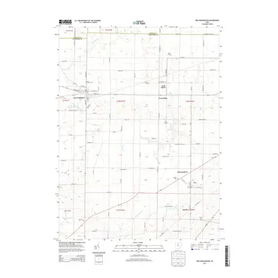
 - 2010 Map of New Washington, 2010 Print
 2010 New Washington2010 Print · USGSCovers Crawford County, including New Washington, Tiro, and other nearby areas
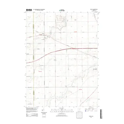
 - 2010 Map of Oceola, 2010 Print
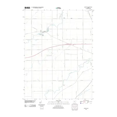 2010 Oceola2010 Print · USGSCovers Crawford County, including Bucyrus, Nevada, and other nearby areas
 - 2013 Map of Monnett, 2013 Print
 2013 Monnett2013 Print · USGSCovers Crawford County, including Marion, Wyandot, and other nearby areas
 - 2013 Map of Lykens, 2013 Print
 2013 Lykens2013 Print · USGSCovers Crawford County, including Lykens, Eden Township, and other nearby areas
 - 2013 Map of Galion, 2013 Print
 2013 Galion2013 Print · USGSCovers Crawford County, including Galion, Congress Township, and other nearby areas
 - 2013 Map of Crestline, 2013 Print
 2013 Crestline2013 Print · USGSCovers Crawford County, including Galion, Shelby, and other nearby areas
 - 2013 Map of Bucyrus, 2013 Print
 2013 Bucyrus2013 Print · USGSCovers Crawford County, including Bucyrus, Liberty Township, and other nearby areas
 - 2013 Map of New Washington, 2013 Print
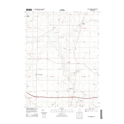
 2013 New Washington2013 Print · USGSCovers Crawford County, including New Washington, Tiro, and other nearby areas
 - 2013 Map of North Robinson, 2013 Print
 2013 North Robinson2013 Print · USGSCovers Crawford County, including Galion, Crestline, and other nearby areas
 - 2013 Map of Blooming Grove, 2013 Print
 2013 Blooming Grove2013 Print · USGSCovers Crawford County, including Galion, Ontario, and other nearby areas
 - 2013 Map of Shelby, 2013 Print
 2013 Shelby2013 Print · USGSCovers Crawford County, including Shelby, Plymouth, and other nearby areas
 - 2013 Map of Caledonia, 2013 Print
 2013 Caledonia2013 Print · USGSCovers Crawford County, including Caledonia, New Winchester, and other nearby areas
 - 2013 Map of Chatfield, 2013 Print
 2013 Chatfield2013 Print · USGSCovers Crawford County, including Chatfield, Liberty Township, and other nearby areas
 - 2013 Map of Oceola, 2013 Print
 2013 Oceola2013 Print · USGSCovers Crawford County, including Bucyrus, Nevada, and other nearby areas
 - 2016 Map of Oceola, 2016 Print
 2016 Oceola2016 Print · USGSCovers Crawford County, including Bucyrus, Nevada, and other nearby areas
Showing maps 1-25 of 60
Top cities of Crawford County
- Bucyrus historical maps
- Galion historical maps
- Crestline historical maps
- North Robinson historical maps
Frequently asked questions
- What are the different types of historical maps available for Crawford County?
- What is the oldest map of Crawford County?
- Where can I purchase historical maps of Crawford County for my home or office?
- Where can I download high-res historical maps of Crawford County?
- Are there historical topographic maps available for Crawford County?
- Is there historical aerial imagery available for Crawford County?
- Where are historical maps of Crawford County sourced from?