Old Maps of Central, Cleveland
Explore 26 old maps of Central, spanning from 1901 to today. These high-resolution historic maps reveal how streets, neighborhoods, landmarks, and natural features evolved over time — perfect for genealogy, metal detecting, research, and local history exploration.
What you can do with these maps:
- See how Central changed over time: Compare historical maps to modern-day views to trace roads, homesites, rail lines & more.
- View detailed metadata: Each map includes creators, publishers, year, scale, and archive source.
- Overlay maps with satellite & LiDAR: Visualize the past alongside modern tools to explore terrain & human change.
- Trusted historical sources: Maps sourced from the USGS, Library of Congress, and other archives.
- Access maps your way: View online, download high-res files, or order prints for personal or research use.
Start exploring old maps of Central to uncover forgotten places, hidden landmarks, and the deep history beneath your feet.
Central, Cleveland maps
(26)- 1901 Map of Euclid, 1963 Print
 1901 Euclid1963 Print · USGSThe Lake Erie shoreline east of Cleveland was a bustling network of rail and recreation at the turn of the century. Trace early suburban development in Nottingham and Collamer, or locate landmarks like Euclid Beach Park and the Garfield Tomb.
 - 1903 Map of Cleveland, 1939 Print
 1903 Cleveland1939 Print · USGSThe Cleveland lakefront and Cuyahoga valley are captured here at the start of the twentieth century as rail lines and industry expanded southward. Genealogists and local historians can locate early landmarks like Riverside Cemetery, Walling Corners, and Brandywine.2 unique versions available
 - 1903 Map of Euclid, 1939 Print
 1903 Euclid1939 Print · USGSThe Lake Erie shoreline east of Cleveland at the turn of the century shows a landscape of growing rail suburbs and lakeside resorts. Genealogists and local historians can trace old neighborhoods like Bluestone and Nottingham or locate the Garfield Tomb and Euclid Beach Park during their early years.2 unique versions available
 - 1950 Map of Cleveland
 1950 Cleveland1950 Print · USGSCovers Central, including Cleveland, Akron, and other nearby areas
 - 1953 Map of Cleveland South, 1955 Print
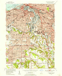 1953 Cleveland South1955 Print · USGSPostwar Cleveland and its southern suburbs appear here as a thriving industrial hub along the winding Cuyahoga River. Genealogists and local historians can trace parish schools and numerous cemeteries like St Theodosius Cemetery and Woodland Cemetery.
 - 1953 Map of Cleveland North, 1955 Print
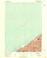 1953 Cleveland North1955 Print · USGSCleveland's lakefront and urban core are captured here in the early fifties during the city's industrial and maritime height. Genealogists and local historians can trace neighborhood landmarks from Gordon Park to Bratenahl, including Fenn College and the New York Central rail lines.
 - 1956 Map of Cleveland, 1967 Print
 1956 Cleveland1967 Print · USGSNortheast Ohio and Western Pennsylvania are shown at their industrial height during the mid-fifties, from the steel mills to the lakeshore. Researchers can trace the massive Ravenna Arsenal, the Ohio Turnpike, and vanished rail sidings of the B & O RR.3 unique versions available
 - 1962 Map of Cleveland
 1962 Cleveland1962 Print · USGSNortheast Ohio and the Pennsylvania borderlands appear here during the industrial peak of the early sixties. Genealogists and historians can trace the expansive rail lines of the Nickel Plate Road and the growth of suburbs from Parma to Lyndhurst.
 - 1963 Map of Cleveland North, 1965 Print
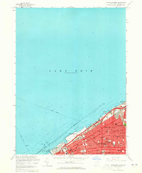 1963 Cleveland North1965 Print · USGSCleveland's lakefront is shown at a mid-century peak of industrial and civic development. Genealogists and historians can trace neighborhood schools and churches like Addams High Sch and St Vitus Sch alongside landmarks like Municipal Stadium.3 unique versions available
 - 1963 Map of Cleveland South, 1965 Print
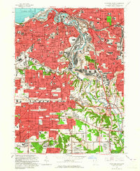 1963 Cleveland South1965 Print · USGSGreater Cleveland’s industrial core and southern suburbs are captured here during the mid-century expansion. Researchers can trace the legacy of urban landmarks like Woodland Cemetery, the Brooklyn Airport, and the winding Cuyahoga River valley.6 unique versions available
 - 1985 Map of Cleveland North, 1986 Print
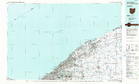 1985 Cleveland North1986 Print · USGSThe Ohio shoreline of Lake Erie in the mid-1980s reveals a bustling landscape of industrial rail lines and expanding lakefront communities. Trace the infrastructure of the era through Burke Lakefront Airport, the sprawling CONRAIL lines, and parks like Headlands Beach State Park.
 - 1986 Map of Cleveland South
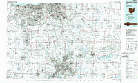 1986 Cleveland South1986 Print · USGSNortheast Ohio in the mid-eighties shows the expanding reach of the Akron and Cleveland suburbs into the surrounding countryside. Trace the industrial rail networks of the Erie Lackawanna RR or find local landmarks like Kent State University and the Ravenna Arsenal.
 - 1994 Map of Cleveland North
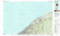 1994 Cleveland North1994 Print · USGSThe Lake Erie shoreline in the mid-nineties shows the urban density of Northeast Ohio giving way to coastal preserves. Researchers can trace the development of lakeside towns like Eastlake and Madison while locating landmarks like Burke Lakefront Airport and Fairport Harbor.
 - 1994 Map of Cleveland South
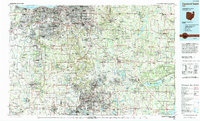 1994 Cleveland South1994 Print · USGSThe metropolitan corridor between Akron and Cleveland is shown here in the mid-nineties during a period of significant suburban growth. Researchers can trace the path of the Ohio Turnpike or explore expansive recreation lands like West Branch State Park.
 - 1994 Map of Cleveland North, 1997 Print
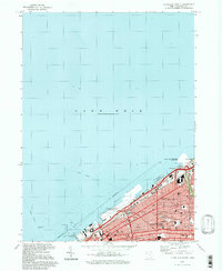 1994 Cleveland North1997 Print · USGSCleveland's lakefront and industrial heart are captured here in the mid-1990s, showcasing a landscape of massive public infrastructure and dense neighborhood blocks. Researchers can trace the legacy of the Municipal Stadium, the grounds of Fenn College, and the sprawling Cleveland Lakefront State Park.
 - 1994 Map of Cleveland South, 2000 Print
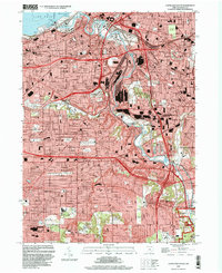 1994 Cleveland South2000 Print · USGSThe industrial heart of the Cuyahoga Valley and the surrounding suburbs are shown here in the mid-nineties. You can trace family history at Woodland Cemetery, locate the Stearns Homestead, or explore the rail networks of Conrail and the Baltimore and Ohio.
 - 2010 Map of Cleveland North, 2010 Print
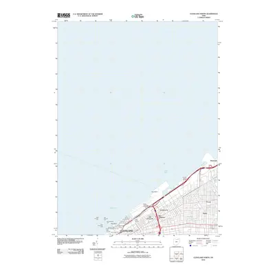 2010 Cleveland North2010 Print · USGSThe Cleveland lakefront and its ethnic neighborhoods are captured here just after the turn of the millennium. Researchers can trace the layout of Old Chinatown and Poznan alongside major port infrastructure like Burke Lakefront Airport and the numbered docks.
 - 2010 Map of Cleveland South, 2010 Print
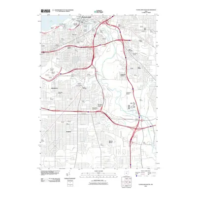 2010 Cleveland South2010 Print · USGSCleveland at the start of the 21st century remains a city defined by its winding river and historic ethnic enclaves. Researchers can trace deep family roots through dozens of burial sites like Woodland Cemetery or explore vanished neighborhood boundaries in Slavic Village and The Angle.
 - 2013 Map of Cleveland South, 2013 Print
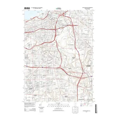 2013 Cleveland South2013 Print · USGSThe industrial heart of South Cleveland and its surrounding suburbs are shown here in the early 2000s as they transition toward modern redevelopment. Genealogists and local historians can trace legacy sites from The Flats to the numerous burial grounds like Woodland Cem and Riverside Cem.
 - 2013 Map of Cleveland North, 2013 Print
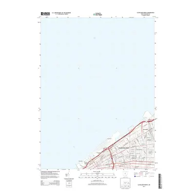 2013 Cleveland North2013 Print · USGSCleveland and the lakeshore village of Bratenahl are documented here during the early twenty-first century. Researchers can trace the layout of the city's core, finding landmarks like Cleveland State Univ, the Burke Lakefront Airport, and Cleveland Browns Stadium.
 - 2016 Map of Cleveland South, 2016 Print
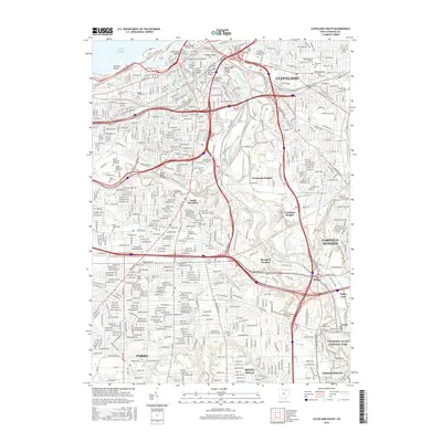 2016 Cleveland South2016 Print · USGSGreater Cleveland in the mid-2010s shows a landscape defined by the winding Cuyahoga River and a vast network of historic cemeteries. Genealogists can trace family heritage at Woodland Cem, Saint Marys Cem, or the Jewish Cem while following the industrial pulse of The Flats.
 - 2016 Map of Cleveland North, 2016 Print
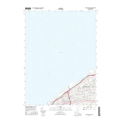 2016 Cleveland North2016 Print · USGSThe lakefront of Cleveland in the mid-2010s reveals a sophisticated urban coastline where the city's educational and aviation hubs meet the shore. Researchers can trace the footprint of Cleveland State University and locate landmarks like Burke Lakefront Airport and Gordon Park.
 - 2019 Map of Cleveland North, 2019 Print
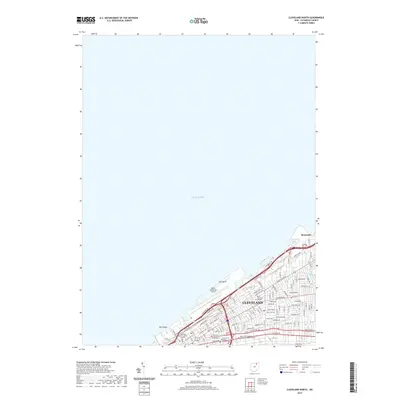 2019 Cleveland North2019 Print · USGSThe Cleveland lakefront and the village of Bratenahl are shown at the end of the 2010s. Researchers can trace the modern urban grid from the Cuyahoga County Justice Center to Gordon Park and Burke Lakefront Airport.
 - 2019 Map of Cleveland South, 2019 Print
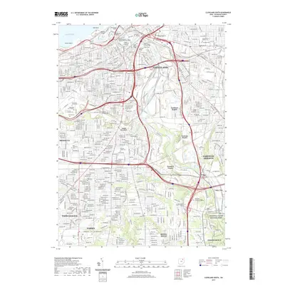 2019 Cleveland South2019 Print · USGSCleveland and its southern suburbs are captured here during a period of modern urban density and industrial riverfront use. Genealogists and local historians can trace numerous burial sites including Woodland Cem, Ghost Cem, and the unique Irishtown Bend settlement site.
 - 2023 Map of Cleveland North, 2023 Print
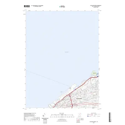 2023 Cleveland North2023 Print · USGSCoastal Cleveland and the lakefront come into sharp focus in this recent survey of the Cuyahoga County shoreline. Researchers can trace urban development from Burke Lakefront Airport to the campuses of Cleveland State University and the residential streets of Bratenahl.
Showing maps 1-25 of 26
Frequently asked questions
- What are the different types of historical maps available for Central?
- What is the oldest map of Central?
- Where can I purchase historical maps of Central for my home or office?
- Where can I download high-res historical maps of Central?
- Are there historical topographic maps available for Central?
- Is there historical aerial imagery available for Central?
- Where are historical maps of Central sourced from?