Old Maps of Cleveland, Ohio
Explore 30 old maps of Cleveland, spanning from 1901 to today. These high-resolution historic maps reveal how streets, neighborhoods, landmarks, and natural features evolved over time — perfect for genealogy, metal detecting, research, and local history exploration.
What you can do with these maps:
- See how Cleveland changed over time: Compare historical maps to modern-day views to trace roads, homesites, rail lines & more.
- View detailed metadata: Each map includes creators, publishers, year, scale, and archive source.
- Overlay maps with satellite & LiDAR: Visualize the past alongside modern tools to explore terrain & human change.
- Trusted historical sources: Maps sourced from the USGS, Library of Congress, and other archives.
- Access maps your way: View online, download high-res files, or order prints for personal or research use.
Start exploring old maps of Cleveland to uncover forgotten places, hidden landmarks, and the deep history beneath your feet.
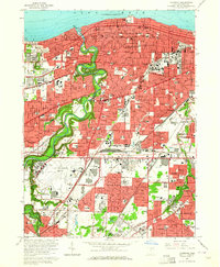
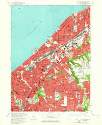
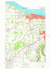
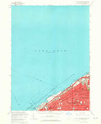
Cleveland, OH maps
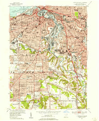
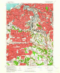
(30)- 1901 Map of Euclid, 1963 Print
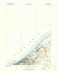 1901 Euclid1963 Print · USGSCovers Cleveland, including Euclid, Cleveland Heights, and other nearby areas
 - 1902 Map of Berea, 1958 Print
 1902 Berea1958 Print · USGSCovers Cleveland, including Parma, Lakewood, and other nearby areas2 unique versions available
 - 1903 Map of Cleveland, 1939 Print
 1903 Cleveland1939 Print · USGSCovers Cleveland, including Parma, Cleveland Heights, and other nearby areas2 unique versions available
 - 1903 Map of Euclid, 1939 Print
 1903 Euclid1939 Print · USGSCovers Cleveland, including Euclid, Cleveland Heights, and other nearby areas2 unique versions available
 - 1904 Map of Berea, 1934 Print
 1904 Berea1934 Print · USGSCovers Cleveland, including Parma, Lakewood, and other nearby areas3 unique versions available
 - 1950 Map of Cleveland
 1950 Cleveland1950 Print · USGSCovers Cleveland, including Akron, Parma, and other nearby areas
 - 1953 Map of Shaker Heights, 1955 Print
 1953 Shaker Heights1955 Print · USGSCovers Cleveland, including Cleveland Heights, Garfield Heights, and other nearby areas
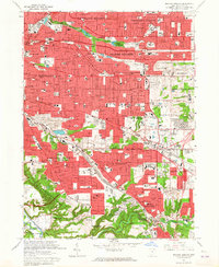
 - 1953 Map of East Cleveland, 1955 Print
 1953 East Cleveland1955 Print · USGSCovers Cleveland, including Euclid, Cleveland Heights, and other nearby areas
 - 1953 Map of Cleveland South, 1955 Print
 1953 Cleveland South1955 Print · USGSCovers Cleveland, including Parma, Garfield Heights, and other nearby areas
 - 1953 Map of Lakewood, 1955 Print
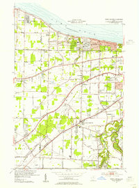
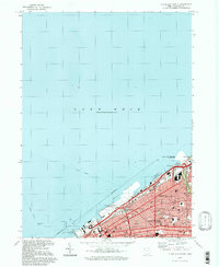
 1953 Lakewood1955 Print · USGSCovers Cleveland, including Parma, Lakewood, and other nearby areas
 - 1953 Map of North Olmsted, 1955 Print
 1953 North Olmsted1955 Print · USGSCovers Cleveland, including North Ridgeville, Westlake, and other nearby areas
 - 1953 Map of Cleveland North, 1955 Print
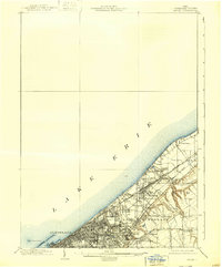
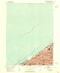 1953 Cleveland North1955 Print · USGSCovers Cleveland, including Bratenahl, Cuyahoga County, and other nearby areas
 - 1956 Map of Cleveland, 1967 Print
 1956 Cleveland1967 Print · USGSCovers Cleveland, including Akron, Parma, and other nearby areas3 unique versions available
 - 1962 Map of Cleveland
 1962 Cleveland1962 Print · USGSCovers Cleveland, including Akron, Parma, and other nearby areas
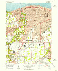
 - 1963 Map of Lakewood, 1964 Print
 1963 Lakewood1964 Print · USGSCovers Cleveland, including Parma, Lakewood, and other nearby areas4 unique versions available
 - 1963 Map of East Cleveland, 1964 Print
 1963 East Cleveland1964 Print · USGSCovers Cleveland, including Euclid, Cleveland Heights, and other nearby areas3 unique versions available
 - 1963 Map of North Olmsted, 1964 Print
 1963 North Olmsted1964 Print · USGSCovers Cleveland, including North Ridgeville, Westlake, and other nearby areas4 unique versions available
 - 1963 Map of Cleveland North, 1965 Print
 1963 Cleveland North1965 Print · USGSCovers Cleveland, including Bratenahl, Cuyahoga County, and other nearby areas3 unique versions available
 - 1963 Map of Cleveland South, 1965 Print
 1963 Cleveland South1965 Print · USGSCovers Cleveland, including Parma, Garfield Heights, and other nearby areas6 unique versions available
 - 1963 Map of Shaker Heights, 1965 Print
 1963 Shaker Heights1965 Print · USGSCovers Cleveland, including Cleveland Heights, Garfield Heights, and other nearby areas4 unique versions available
 - 1985 Map of Cleveland North, 1986 Print
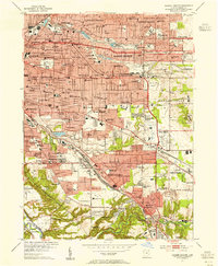
 1985 Cleveland North1986 Print · USGSCovers Cleveland, including Lakewood, Euclid, and other nearby areas
 - 1986 Map of Cleveland South
 1986 Cleveland South1986 Print · USGSCovers Cleveland, including Akron, Parma, and other nearby areas
 - 1994 Map of Cleveland North
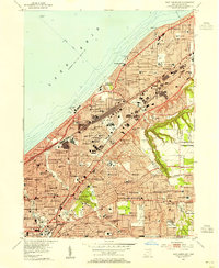
 1994 Cleveland North1994 Print · USGSCovers Cleveland, including Lakewood, Euclid, and other nearby areas
 - 1994 Map of Cleveland South
 1994 Cleveland South1994 Print · USGSCovers Cleveland, including Akron, Parma, and other nearby areas
 - 1994 Map of Cleveland North, 1997 Print
 1994 Cleveland North1997 Print · USGSCovers Cleveland, including Bratenahl, Cuyahoga County, and other nearby areas
Showing maps 1-25 of 30
Top cities near Cleveland
- Parma historical maps
- Lakewood historical maps
- Euclid historical maps
- Strongsville historical maps
- Cleveland Heights historical maps
- Brunswick historical maps
See more
Top neighborhoods of Cleveland
- Superior Arts District historical maps
- Bellaire-Puritas historical maps
- Cudell historical maps
- Lee-Harvard historical maps
- Lee-Seville historical maps
- Hopkins historical maps
See more
Frequently asked questions
- What are the different types of historical maps available for Cleveland?
- What is the oldest map of Cleveland?
- Where can I purchase historical maps of Cleveland for my home or office?
- Where can I download high-res historical maps of Cleveland?
- Are there historical topographic maps available for Cleveland?
- Is there historical aerial imagery available for Cleveland?
- Where are historical maps of Cleveland sourced from?