Old Maps of Versailles, Ohio for Hiking & Exploration
Hike through history with 17 historic maps of Versailles. Explore old trails, ghost towns, and forgotten backroads — perfect for outdoor adventurers and local explorers.
- Rediscover forgotten places: Map out old mining camps, roads, and footpaths that no longer exist on modern maps.
- Layer with modern tools: Combine with LiDAR or satellite views to plan hikes through historical terrain.
- Made for exploration: Popular among hikers, overlanders, and local history lovers.
Use these maps to find adventure and explore the hidden past of Versailles.
Versailles, OH maps
(17)- 1911 Map of Covington, 1946 Print
 1911 Covington1946 Print · USGSWestern Ohio’s agricultural heartland is mapped here as a web of turnpikes and railroads connects thriving towns. Trace old family sites near Bradford, Gettysburg, and uniquely named rural landmarks like Lickskillet School or Cassels Corners.
 - 1944 Map of Covington
 1944 Covington1944 Print · USGSWestern Ohio at the end of the Second World War remains a landscape of thriving rural rail towns and country schoolhouses. Researchers can trace the Stillwater River to find Greenville Falls, the Forest Hill Cem, and local landmarks like Tadpole Sch and Ludlow Falls.
 - 1953 Map of Muncie, 1966 Print
 1953 Muncie1966 Print · USGSIndiana and Ohio borderlands thrive in the early fifties, showing a landscape defined by manufacturing cities and an intensive railroad network. Genealogists can trace family roots across the Indiana-Ohio line through Muncie, Celina, and Portland via the Pennsylvania railroad.5 unique versions available
 - 1956 Map of Muncie
 1956 Muncie1956 Print · USGSEastern Indiana and western Ohio are shown at a peak of rail-driven industry in the mid-fifties. Genealogists and rail historians can trace the paths of the Pennsylvania RR through Muncie or locate landmarks like Lake Saint Marys (Grand Lake Reservoir) and Frances Slocum State Forest.
 - 1961 Map of Dawn, 1962 Print
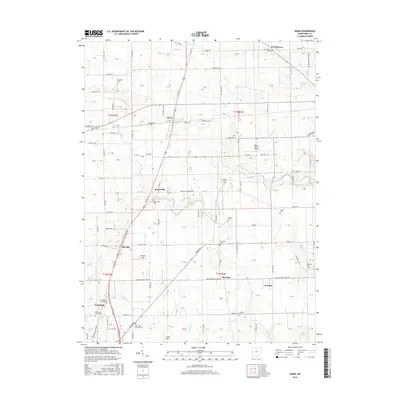
 1961 Dawn1962 Print · USGSDarke County agriculture and rail infrastructure are captured here in the early sixties as small crossroads communities thrived. Trace family lands and local landmarks like Stelvideo Cem, the Childrens Home, and the village of Beamsville.3 unique versions available
 - 1961 Map of Versailles, 1962 Print
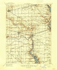
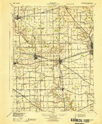
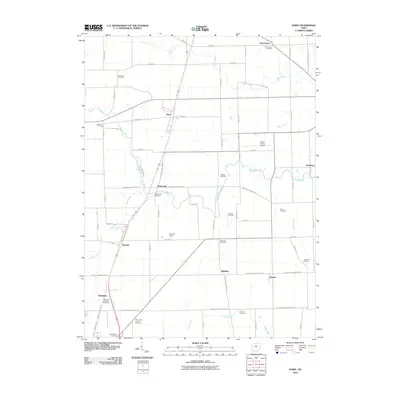
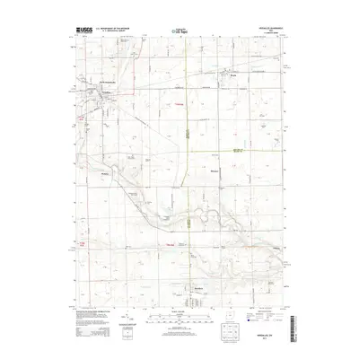
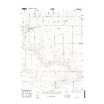
 1961 Versailles1962 Print · USGSThe rural crossroads of Darke, Shelby, and Miami counties come into focus during the early sixties, centered on the rail hubs of Versailles and Bradford. Researchers can trace old family sites and rural landmarks like St Peters Ch, St Valberts Cem, and the Childrens Home.2 unique versions available
 - 1986 Map of Piqua
 1986 Piqua1986 Print · USGSThe western Ohio and eastern Indiana borderlands appear here in the mid-1980s, showcasing a landscape of river-valley industry and fertile plains. Researchers can trace historic rail lines like Conrail and Norfolk and Western through towns like Greenville and Winchester.3 unique versions available
 - 2010 Map of Dawn, 2010 Print
 2010 Dawn2010 Print · USGSCovers Versailles, including Greenville, Ansonia, and other nearby areas
 - 2010 Map of Versailles, 2010 Print
 2010 Versailles2010 Print · USGSCovers Versailles, including Bradford, Russia, and other nearby areas
 - 2013 Map of Versailles, 2013 Print
 2013 Versailles2013 Print · USGSCovers Versailles, including Bradford, Russia, and other nearby areas
 - 2013 Map of Dawn, 2013 Print
 2013 Dawn2013 Print · USGSCovers Versailles, including Greenville, Ansonia, and other nearby areas
 - 2016 Map of Versailles, 2016 Print
 2016 Versailles2016 Print · USGSCovers Versailles, including Bradford, Russia, and other nearby areas
 - 2016 Map of Dawn, 2016 Print
 2016 Dawn2016 Print · USGSCovers Versailles, including Greenville, Ansonia, and other nearby areas
 - 2019 Map of Dawn, 2019 Print
 2019 Dawn2019 Print · USGSCovers Versailles, including Greenville, Ansonia, and other nearby areas
 - 2019 Map of Versailles, 2019 Print
 2019 Versailles2019 Print · USGSCovers Versailles, including Bradford, Russia, and other nearby areas
 - 2023 Map of Versailles, 2023 Print
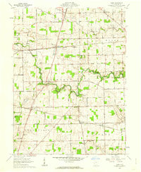
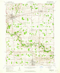
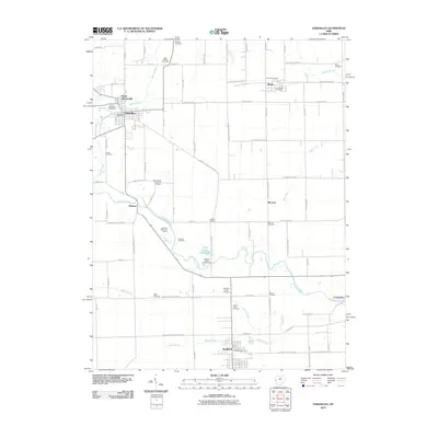
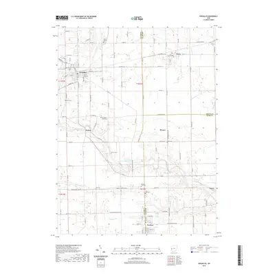
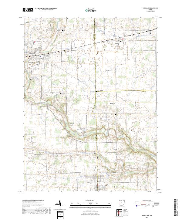 2023 Versailles2023 Print · USGSThe rural landscapes of Darke and Miami counties are captured in this recent survey of the Versailles and Russia areas. Local historians can trace numerous cemetery sites including Greenlawn Cem, Munk Cem, and Bloomer Cem along the Stillwater River corridor.
 - 2023 Map of Dawn, 2023 Print
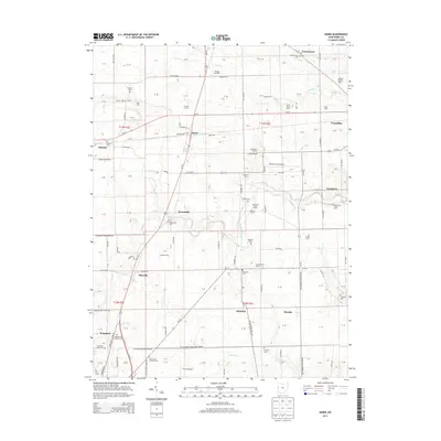
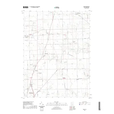
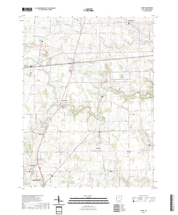 2023 Dawn2023 Print · USGSThe rural expanses of Darke County are captured here during a period of modern agricultural stability and regional aviation growth. Genealogists can locate family-named sites like Kershner Cem and Coppess Cem near settlements such as Beamsville and Stelvideo.
End of results
Showing maps 1-17 of 17
Top cities near Versailles
- Troy historical maps
- Piqua historical maps
- Greenville historical maps
- New Bremen historical maps
- Minster historical maps
- St. Henry historical maps
See more
Top neighborhoods of Versailles
Frequently asked questions
- What are the different types of historical maps available for Versailles?
- What is the oldest map of Versailles?
- Where can I purchase historical maps of Versailles for my home or office?
- Where can I download high-res historical maps of Versailles?
- Are there historical topographic maps available for Versailles?
- Is there historical aerial imagery available for Versailles?
- Where are historical maps of Versailles sourced from?