Old Maps of Sherwood, Ohio
Explore 11 old maps of Sherwood, spanning from 1914 to today. These high-resolution historic maps reveal how streets, neighborhoods, landmarks, and natural features evolved over time — perfect for genealogy, metal detecting, research, and local history exploration.
What you can do with these maps:
- See how Sherwood changed over time: Compare historical maps to modern-day views to trace roads, homesites, rail lines & more.
- View detailed metadata: Each map includes creators, publishers, year, scale, and archive source.
- Overlay maps with satellite & LiDAR: Visualize the past alongside modern tools to explore terrain & human change.
- Trusted historical sources: Maps sourced from the USGS, Library of Congress, and other archives.
- Access maps your way: View online, download high-res files, or order prints for personal or research use.
Start exploring old maps of Sherwood to uncover forgotten places, hidden landmarks, and the deep history beneath your feet.
Sherwood, OH maps
(11)- 1914 Map of Bryan, 1942 Print
 1914 Bryan1942 Print · USGSNorthwest Ohio at the height of the steam era reveals a landscape of thriving rail towns and dense country school districts. Researchers can trace the original routes of the Wabash RR and Electric R R through Bryan and Hicksville, while locating vanished rural sites like Crazy School and Ziegler.
 - 1943 Map of Bryan
 1943 Bryan1943 Print · USGSNorthwest Ohio during the mid-century is captured here as a landscape of grid-roads, small hamlets, and heavy rail traffic. Genealogists and local historians can trace family roots through numerous rural landmarks like Bethel Ch, Bratton Sch, and the hamlet of Farmer.
 - 1953 Map of Fort Wayne, 1963 Print
 1953 Fort Wayne1963 Print · USGSNortheast Indiana and its neighboring borderlands in Michigan and Ohio appear here during a peak era of rail and road expansion. Researchers can trace the massive rail networks of the Nickel Plate Road and Wabash or locate lakeside landmarks like Lake Wawasee and Clear Lake.4 unique versions available
 - 1956 Map of Fort Wayne
 1956 Fort Wayne1956 Print · USGSThe tri-state borderlands of Indiana, Michigan, and Ohio are captured here in the mid-fifties, centered on the growing industrial hub of Fort Wayne. Researchers can trace the heavy rail lines of the New York Central and Pennsylvania alongside prominent water features like Lake Wawasee and the Maumee River.2 unique versions available
 - 1960 Map of Sherwood, 1961 Print
 1960 Sherwood1961 Print · USGSDefiance and Paulding counties appear here at a mid-century peak of rail and river utility, anchored by the junction at Sherwood. Genealogists and local historians can trace family road names and locate rural landmarks like Glore Cem, The Bend, and St Johns Ch.2 unique versions available
 - 1986 Map of Defiance, 1992 Print
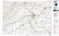 1986 Defiance1992 Print · USGSNorthwest Ohio and Eastern Indiana appear in the late eighties as a landscape shaped by significant river confluences and rail corridors. Researchers can trace the layout of local towns and landmarks like Defiance College, Forest Hill Cem, and the path of the Norfolk and Western RR.
 - 2010 Map of Sherwood, 2010 Print
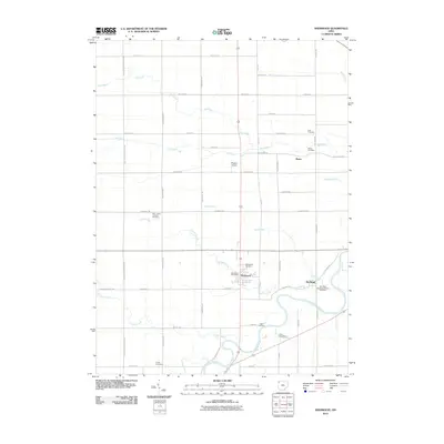 2010 Sherwood2010 Print · USGSDefiance County in the early twenty-first century reveals a landscape shaped by the winding Maumee River and generations of family farmsteads. Genealogists can trace local heritage through numerous sites like New Saint Stephens Catholic Cemetery, The Bend, and Colby Cemetery.
 - 2013 Map of Sherwood, 2013 Print
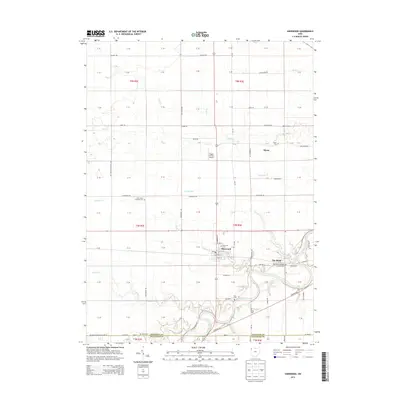 2013 Sherwood2013 Print · USGSSherwood and the southern reaches of Defiance County are mapped here in the early twenty-first century as the landscape follows the Maumee River. Genealogists can locate family burial sites at Funk Cem, Colby Cem, and New Saint Stephens Catholic Cem near The Bend.
 - 2016 Map of Sherwood, 2016 Print
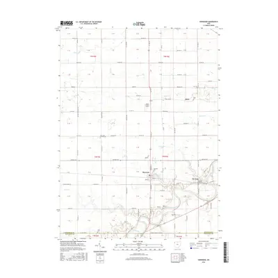 2016 Sherwood2016 Print · USGSThe Sherwood area and the winding Maumee River are captured here in the mid-2010s. Genealogists and researchers can trace family-named landmarks like Moats Cem, Funk Cem, and Blair Cem, alongside the village of Sherwood and the settlement at The Bend.
 - 2019 Map of Sherwood, 2019 Print
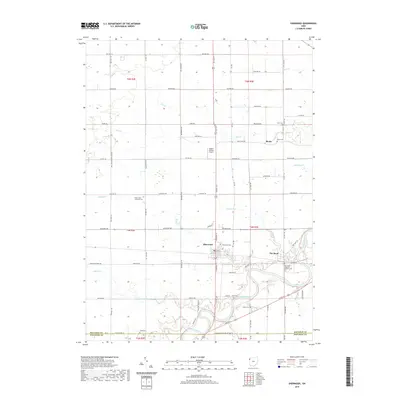 2019 Sherwood2019 Print · USGSDefiance County's agricultural heartland is documented here in the late twenty-teens, centered on the village of Sherwood and the winding Maumee River. Genealogists can locate several burial grounds like New Saint Stephens Catholic Cem and the small settlement of Moats.
 - 2023 Map of Sherwood, 2023 Print
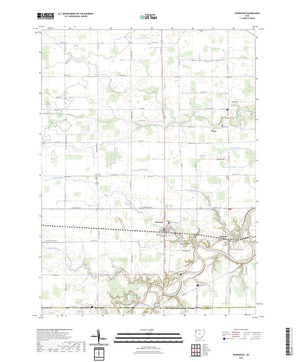 2023 Sherwood2023 Print · USGSThe village of Sherwood and the winding oxbows of the Maumee River define this corner of Northwest Ohio. Genealogists and local researchers can trace early homesteads and community hubs through landmarks like The Bend, Moats, and Saint Johns Lutheran Cem.
End of results
Showing maps 1-11 of 11
Top cities near Sherwood
- Defiance historical maps
- Bryan historical maps
- Archbold historical maps
- Paulding historical maps
- Hicksville historical maps
- Edgerton historical maps
See more
Frequently asked questions
- What are the different types of historical maps available for Sherwood?
- What is the oldest map of Sherwood?
- Where can I purchase historical maps of Sherwood for my home or office?
- Where can I download high-res historical maps of Sherwood?
- Are there historical topographic maps available for Sherwood?
- Is there historical aerial imagery available for Sherwood?
- Where are historical maps of Sherwood sourced from?