2000s (21st Century) Maps of Vermilion Township, Ohio
Explore 20 historic maps of Vermilion Township from the 2000s (21st Century). These maps offer a rare glimpse into what life looked like during the 2000s — showing old roads, neighborhoods, homes, and landmarks that have changed or disappeared over time.
Whether you're researching your family's past, planning a metal detecting trip, or studying how Vermilion Township's landscape evolved across the 2000s, these high-resolution maps are a powerful tool for exploring the history of this region.
- Focus on a specific era: All maps on this page are from the 2000s, giving you a focused view of this time period.
- See what’s changed: Compare century-old streets, trails, and buildings to today's modern landscape using overlays and satellite layers.
- Research with precision: Use these maps for genealogy, historical research, land use analysis, or educational projects.
- View, download, or print: Maps are fully viewable online in high resolution, and can be downloaded or printed for your own records.
Start exploring Vermilion Township's history through authentic maps from the 2000s. This is your window into the past.
Vermilion Township, OH maps
(20)- 2010 Map of Kipton, 2010 Print
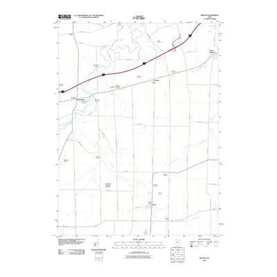 2010 Kipton2010 Print · USGSLorain County’s rural orchards and small-town centers are captured here during the first decade of the new millennium. Genealogists and historians can trace family-named sites and landmarks like Kipton Quarry, Gore Cemetery, and the Schoepfle Arboretum.
 - 2010 Map of Vermilion West, 2010 Print
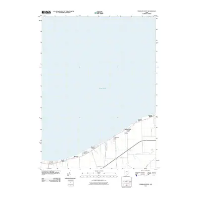 2010 Vermilion West2010 Print · USGSThe Lake Erie shoreline in the early twenty-first century is captured here as a string of coastal neighborhoods and summer colonies. Genealogists and local historians can trace family locations near Cuddleback Cemetery or explore the layouts of Mitiwanga and Beulah Beach.
 - 2010 Map of Vermilion East, 2010 Print
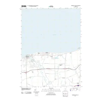 2010 Vermilion East2010 Print · USGSThe Lake Erie shoreline and Vermilion River valley are captured here in the early twenty-first century as suburban growth meets Ohio's lakefront history. Researchers can locate family landmarks like the Claus Family Cemetery and trace the development of Vermilion-on-the-Lake and Brownhelm Station.
 - 2010 Map of Berlin Heights, 2010 Print
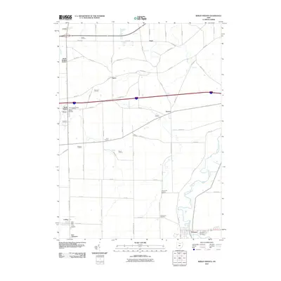 2010 Berlin Heights2010 Print · USGSNear the turn of the twenty-first century, this Erie County township remains defined by its productive orchards and the winding course of the Vermilion River. Genealogists and local historians can trace legacy burial sites like Denton Farm Cemetery and family landmarks such as Burnham Orchards.
 - 2013 Map of Kipton, 2013 Print
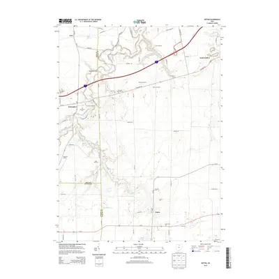 2013 Kipton2013 Print · USGSThe tri-county border of Erie, Lorain, and Huron counties comes into focus in this early 21st-century look at the Vermilion River valley. Genealogists and local historians can pinpoint numerous burial grounds like Birmingham Cem and Camden Cem, or locate landmarks such as Dean Road Bridge and the Kipton Reservoir.
 - 2013 Map of Vermilion West, 2013 Print
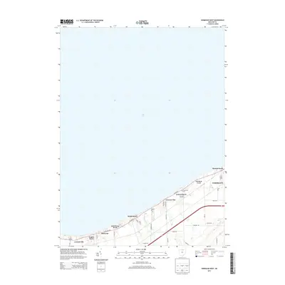 2013 Vermilion West2013 Print · USGSThe Lake Erie shoreline west of Vermilion is shown in detail during the early 21st century. Genealogists and local historians can trace the development of coastal communities like Mitiwanga and Beulah Beach or locate Cuddleback Cem.
 - 2013 Map of Berlin Heights, 2013 Print
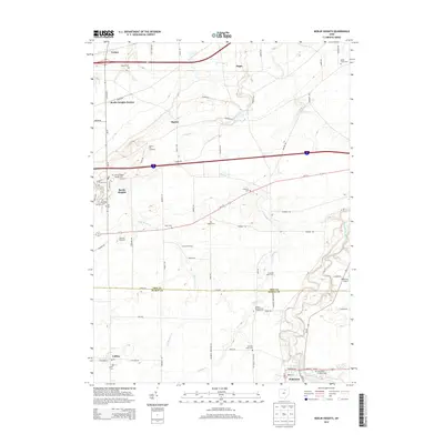 2013 Berlin Heights2013 Print · USGSNorthern Ohio fruit country and rural townships are captured here in the early twenty-first century as the landscape maintains its agricultural roots. Researchers can trace family plots at Riverside Cem or explore the settlements of Berlin Heights, Collins, and Wakeman.
 - 2013 Map of Vermilion East, 2013 Print
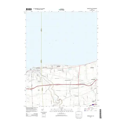 2013 Vermilion East2013 Print · USGSThe Ohio lakefront in the early 2010s shows a mix of maritime heritage and suburban growth between Vermilion and Lorain. Genealogists can locate family landmarks like the Claus Family Cem and the small hamlet of Brownhelm Station.
 - 2016 Map of Kipton, 2016 Print
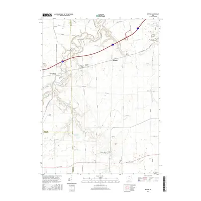 2016 Kipton2016 Print · USGSLorain County agricultural lands and river valleys are captured here in the mid-2010s, showcasing the rural character of northern Ohio. Genealogists can trace family landmarks like Birmingham Cem and Camden Cem or follow the winding Vermilion River past Kipton.
 - 2016 Map of Berlin Heights, 2016 Print
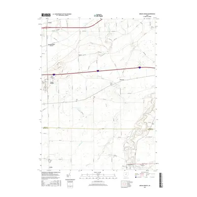 2016 Berlin Heights2016 Print · USGSAcross northern Ohio during the mid-2010s, this area maintains its classic rural character where the Vermilion River meets a network of country roads. Researchers can trace numerous local burial sites like Berlin Heights Baptist Cem, Poyer Cem, and the West End Cem.
 - 2016 Map of Vermilion West, 2016 Print
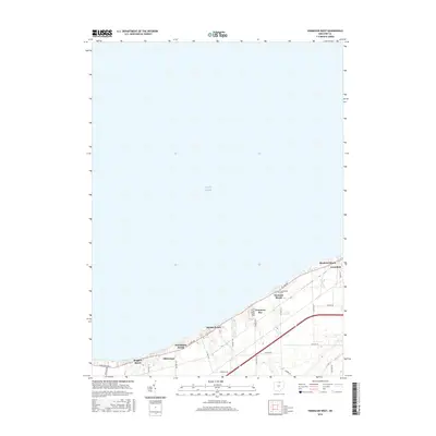 2016 Vermilion West2016 Print · USGSThe Lake Erie shoreline in the mid-2010s reveals a distinctive chain of beach communities and established lakefront neighborhoods. Trace local family history and coastal development through landmarks like Cuddleback Cemetery, Beulah Beach, and Mitiwanga.
 - 2016 Map of Vermilion East, 2016 Print
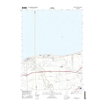 2016 Vermilion East2016 Print · USGSCoastal life and rural Ohio history meet along the shoreline where the Vermilion River meets Lake Erie. Genealogists and local historians can trace the legacy of early settlers at Brownhelm Cem and follow old rail routes through Brownhelm Station.
 - 2019 Map of Vermilion West, 2019 Print
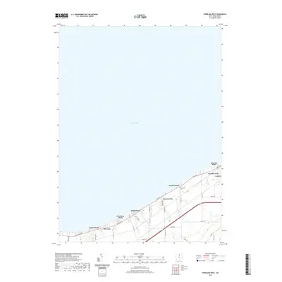 2019 Vermilion West2019 Print · USGSThe Ohio lakefront west of the city of Vermilion is shown here during a period of established shoreline residency and local development. Researchers can trace the layout of waterfront communities like Beulah Beach, Mitiwanga, and the historic Cuddleback Cem.
 - 2019 Map of Kipton, 2019 Print
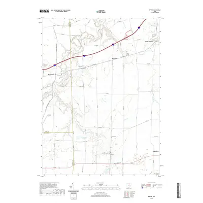 2019 Kipton2019 Print · USGSLorain and Erie counties are shown here during the late twenty-teens, featuring a landscape of river valleys and rural townships. Researchers can find numerous local burying grounds including Andress Cem and Camden Cem alongside Kipton Reservoir.
 - 2019 Map of Berlin Heights, 2019 Print
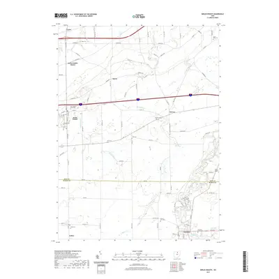 2019 Berlin Heights2019 Print · USGSBerlin Heights and the Erie-Huron county line are captured here in the late twenty-teens, showing a landscape of deep-rooted farmsteads and creek valleys. Researchers can locate many local burial sites like Riverside Cem or trace the winding course of Chappel Cr and the Vermilion River.
 - 2019 Map of Vermilion East, 2019 Print
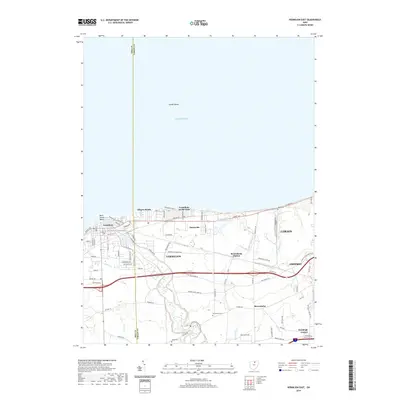 2019 Vermilion East2019 Print · USGSThe Lake Erie shoreline in Lorain County is captured here in the late 2010s as it stretches between the port of Vermilion and the outskirts of Lorain. Genealogists and local historians can trace family roots through sites like Kendeigh Corner, Rugby Cem, and the historic Brownhelm township area.
 - 2023 Map of Kipton, 2023 Print
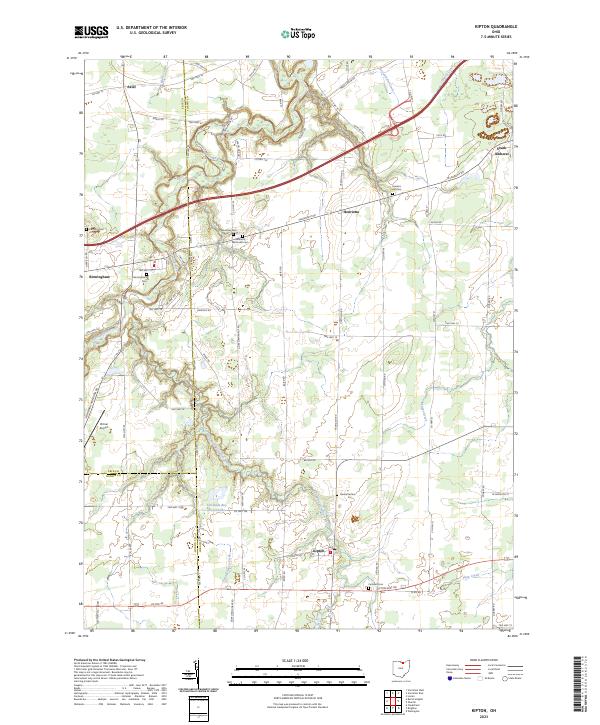 2023 Kipton2023 Print · USGSKipton and the rural townships of North Central Ohio appear here in the early twenty-first century, showing a landscape of scattered villages and family farmsteads. Genealogists can locate several historic burial sites like Harrison Cemetery and Sanders Hill Cemetery, alongside landmarks like Firelands Boy Scout Lake.
 - 2023 Map of Vermilion West, 2023 Print
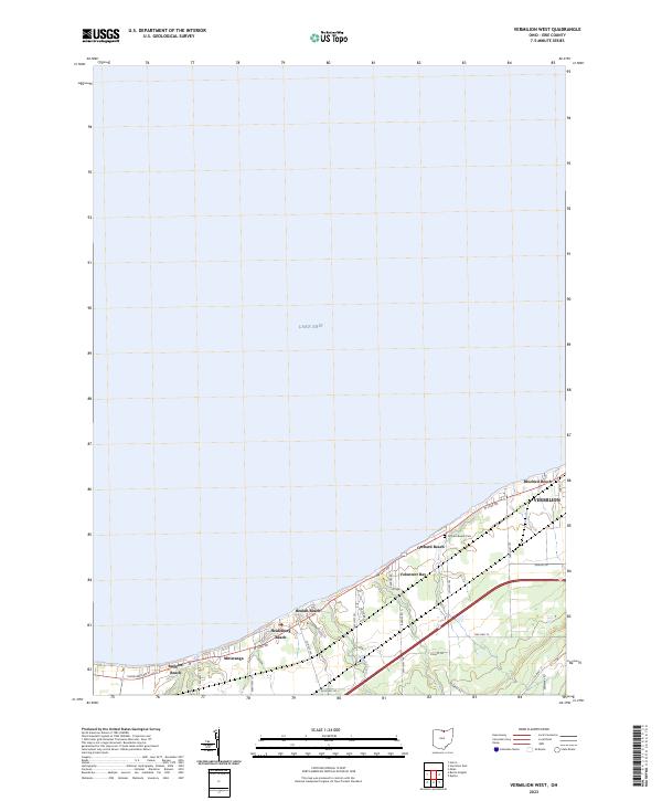 2023 Vermilion West2023 Print · USGSThe Erie County shoreline west of Vermilion is captured in the early 2020s, showing a dense network of lakefront communities and coastal creeks. Researchers can trace the layout of historic summer colonies such as Mitiwanga, Ruggles Beach, and Beulah Beach along the bluffs of Lake Erie.
 - 2023 Map of Vermilion East, 2023 Print
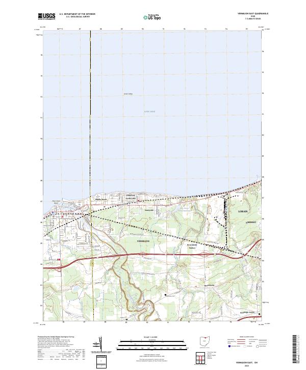 2023 Vermilion East2023 Print · USGSThe Lake Erie shoreline near the Lorain and Erie county line shows a landscape of coastal communities and deep river valleys in this modern survey. Researchers can locate family landmarks like Rugby Cem and Kendeigh Corner or trace the winding course of the Vermilion River.
 - 2023 Map of Berlin Heights, 2023 Print
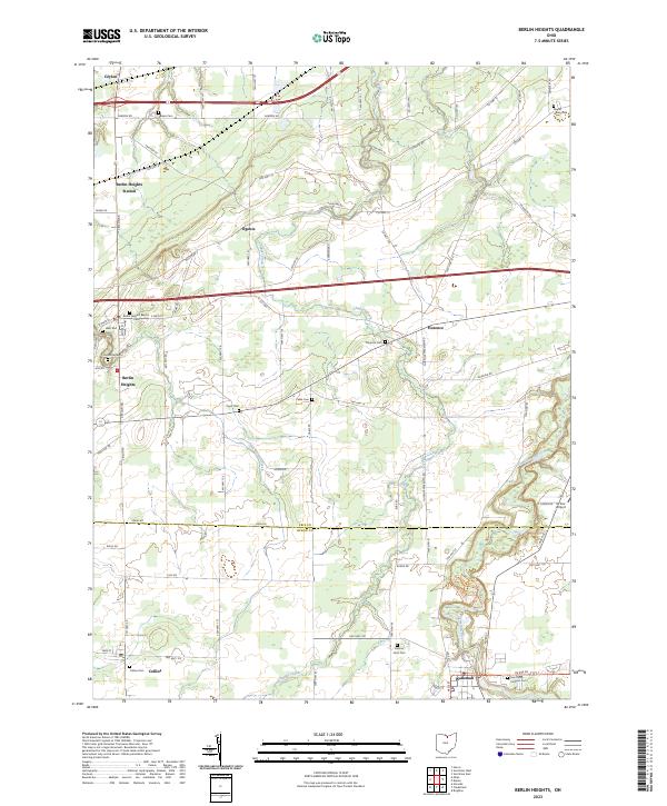 2023 Berlin Heights2023 Print · USGSNorthern Ohio's farm country and river valleys are captured here in the 2020s, spanning the border of Erie and Huron counties. Researchers can locate many local landmarks like Maple Grove Cem, Saint Mary Catholic Cem, and the village of Wakeman.
End of results
Showing maps 1-20 of 20
Top cities near Vermilion Township
- Lorain historical maps
- Sandusky historical maps
- Norwalk historical maps
- Amherst historical maps
- Vermilion historical maps
- Oberlin historical maps
See more
Top neighborhoods of Vermilion Township
- Joppa historical maps
- Volunteer Bay historical maps
- Beulah Beach historical maps
- Heidelberg Beach historical maps
- Axtel historical maps
- Mitiwanga historical maps
See more
Frequently asked questions
- What are the different types of historical maps available for Vermilion Township?
- What is the oldest map of Vermilion Township?
- Where can I purchase historical maps of Vermilion Township for my home or office?
- Where can I download high-res historical maps of Vermilion Township?
- Are there historical topographic maps available for Vermilion Township?
- Is there historical aerial imagery available for Vermilion Township?
- Where are historical maps of Vermilion Township sourced from?