Old Maps of Obetz, Ohio for Hiking & Exploration
Hike through history with 22 historic maps of Obetz. Explore old trails, ghost towns, and forgotten backroads — perfect for outdoor adventurers and local explorers.
- Rediscover forgotten places: Map out old mining camps, roads, and footpaths that no longer exist on modern maps.
- Layer with modern tools: Combine with LiDAR or satellite views to plan hikes through historical terrain.
- Made for exploration: Popular among hikers, overlanders, and local history lovers.
Use these maps to find adventure and explore the hidden past of Obetz.
Obetz, OH maps
(22)- 1925 Map of East Columbus, 1940 Print
 1925 East Columbus1940 Print · USGSGreater Columbus and its eastern suburbs were rapidly expanding in the 1920s as industry and transit lines bridged the gap between city and farm. Genealogists and historians can trace the paths of the ABANDONED CANAL, the legacy of NORTON FIELD, and old village centers like Canal Winchester and Lithopolis.3 unique versions available
 - 1943 Map of East Columbus
 1943 East Columbus1943 Print · USGSEastern Columbus and the Refugee Tract are captured here during the mobilization of the early 1940s. Genealogists and historians can trace the foundations of modern aviation at Port Columbus or find vanished landmarks like the Childrens Home and Norton Field.
 - 1947 Map of Columbus, 1948 Print
 1947 Columbus1948 Print · USGSCentral Ohio in the late 1940s is captured in this survey, showing the post-war transition of its rail hubs and military airfield expansions. Genealogists and historians can trace the paths of the Ohio Canal, the Pennsylvania RR lines, and the Camp Sherman Military Reservation.
 - 1955 Map of Lockbourne, 1956 Print
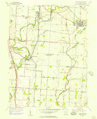 1955 Lockbourne1956 Print · USGSSouth of Columbus in the mid-fifties, the landscape is defined by the massive Lockbourne Air Force Base. Genealogists can trace family names at Watkins Cem or locate the Scioto Valley Grange and Township High Sch.
 - 1955 Map of Southeast Columbus, 1957 Print
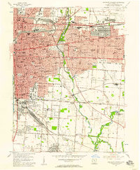 1955 Southeast Columbus1957 Print · USGSSoutheast of downtown Columbus in the mid-fifties, this area shows a dense landscape of parochial schools and major transit junctions. Genealogists and local historians can trace legacy sites like Evergreen Burial Park and the vanished crossroads of Valley Crossing or Munks Corners.
 - 1961 Map of Columbus
 1961 Columbus1961 Print · USGSCentral and Southern Ohio are captured here in the early sixties, as the region's industrial rail hubs and military bases reached their peak. Genealogists and historians can trace the transition from urban Columbus to rural townships along the Scioto River, locating Lockbourne USAF and old junctions like Washington Court House.
 - 1962 Map of Columbus
 1962 Columbus1962 Print · USGSCentral Ohio during the early sixties reveals a transition from the industrial corridors of Columbus to the forested ridges of the south. Genealogists and historians can trace the rail networks of the Baltimore & Ohio RR and find local landmarks like Washington Court House and Camp Sherman Military Reservation.
 - 1964 Map of Southeast Columbus, 1966 Print
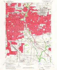 1964 Southeast Columbus1966 Print · USGSSoutheast Columbus and the surrounding Franklin County suburbs are captured during a decade of rapid growth and rail-to-highway transition. Genealogists and local historians can trace family-named sites and vanished junctions like Munks Corners, Valley Crossing, and the Columbus Motor Speedway.5 unique versions available
 - 1964 Map of Lockbourne, 1966 Print
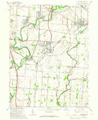 1964 Lockbourne1966 Print · USGSIn the mid-1960s, southern Franklin County saw its rural character meet the expanding footprint of the Cold War military. Genealogists and local historians can trace family-named sites and vanished landmarks from Watkins Cem to the sprawling Lockbourne Air Force Base.3 unique versions available
 - 1967 Map of Columbus, 1969 Print
 1967 Columbus1969 Print · USGSCentral Ohio during the late sixties serves as a vital corridor of rail and aviation, from the industrial streets of Springfield to the hangar lines of Lockbourne Air Force Base. Genealogists and researchers can trace the growth of towns like Circleville and London or locate rural landmarks such as St Paul church and the London Correctional Institution.2 unique versions available
 - 1984 Map of Lancaster, 1985 Print
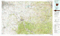 1984 Lancaster1985 Print · USGSCentral Ohio and the Hocking Valley come into focus during the mid-eighties as suburban growth meets the wooded ridges of the southeast. Researchers can trace transportation networks through Buckeye Lake or locate landmarks like Flint Ridge State Memorial and Moxahala Park.
 - 1992 Map of Lockbourne, 1995 Print
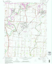 1992 Lockbourne1995 Print · USGSThe Scioto River valley south of Columbus appears here during the early nineties, showing the intersection of military history and rural tradition. Genealogists can trace family landmarks like Fernwood Cem, St Vincents Ch, and the remnants of the Ohio Canal.
 - 2010 Map of Southeast Columbus, 2010 Print
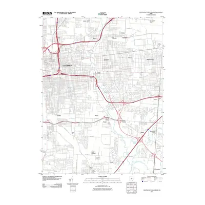 2010 Southeast Columbus2010 Print · USGSSoutheast Columbus in 2010 shows a mature metropolitan landscape defined by major aviation hubs and historic industrial districts. Researchers can locate family roots at Evergreen Burial Park or trace the early development of Munks Corners and Steelton.
 - 2010 Map of Lockbourne, 2010 Print
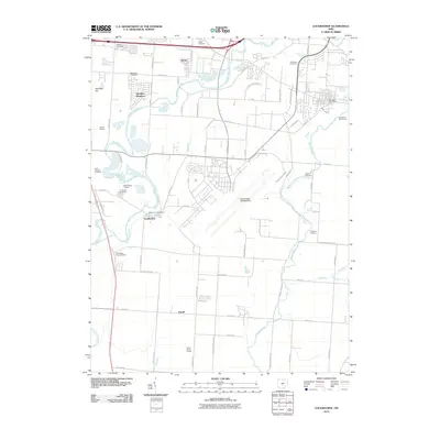 2010 Lockbourne2010 Print · USGSFranklin and Pickaway Counties in the early twenty-first century show a landscape of growing logistics hubs and military aviation. Genealogists can trace family plots at Watkins Cemetery and Paul Peters Farm Cemetery near Duvall.
 - 2013 Map of Lockbourne, 2013 Print
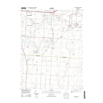 2013 Lockbourne2013 Print · USGSThe southern fringes of the Columbus metro area meet the Pickaway County line in this modern study of aviation and agriculture. Researchers can trace historic family burial sites like Walnut Hill Cem and Paul Peters Farm Cem near the Lockbourne village limits.
 - 2013 Map of Southeast Columbus, 2013 Print
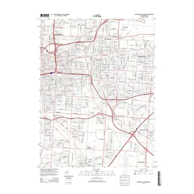 2013 Southeast Columbus2013 Print · USGSThe eastern suburbs of Columbus are shown in detail during their modern maturity, from the academic heart of Bexley to the industrial corridors of Steelton. Researchers can locate several historic burial grounds like Evergreen Burial Park and Agudas Achim Cem, or trace the rail lines of the Norfolk Southern.
 - 2016 Map of Lockbourne, 2016 Print
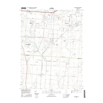 2016 Lockbourne2016 Print · USGSThe suburbs south of Columbus and the vast airfield at Rickenbacker characterize this central Ohio landscape during the mid-2010s. Genealogists can locate several historic burial sites, including Saint Josephs Cem, Fernwood Cem, and the small Hendren Cem.
 - 2016 Map of Southeast Columbus, 2016 Print
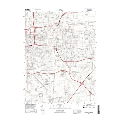 2016 Southeast Columbus2016 Print · USGSSoutheast Franklin County in the twenty-first century shows a modern city shaped by its river valleys and rail corridors. Trace the growth of Steelton, Bexley, and Obetz alongside landmarks like Port Columbus International Airport and Capital Univ.
 - 2019 Map of Lockbourne, 2019 Print
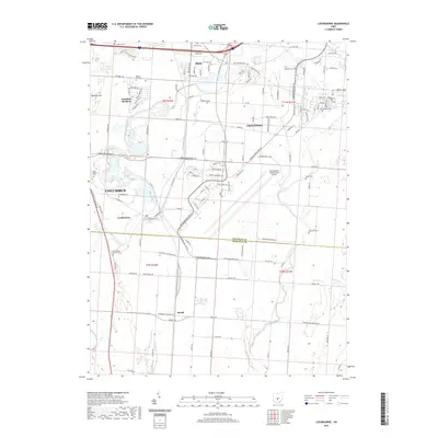 2019 Lockbourne2019 Print · USGSSouth of Columbus in the late 2010s, this area shows the sprawl of industrial logistics around Rickenbacker International Airport. Researchers can find numerous family and community burial grounds, including Paul Peters Farm Cem, Groveport Cem, and Hendren Cem.
 - 2019 Map of Southeast Columbus, 2019 Print
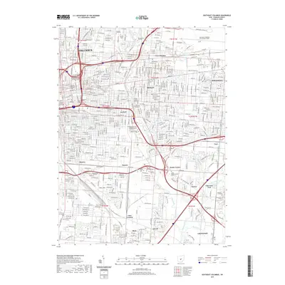 2019 Southeast Columbus2019 Print · USGSSoutheast Columbus in the late 2010s shows a dense urban landscape of historic neighborhoods and modern university campuses. Genealogists and local historians can trace legacy sites like Evergreen Burial Park, the rail junctions at Valley Crossing, and the corridors of BEXLEY and WHITEHALL.
 - 2023 Map of Lockbourne, 2023 Print
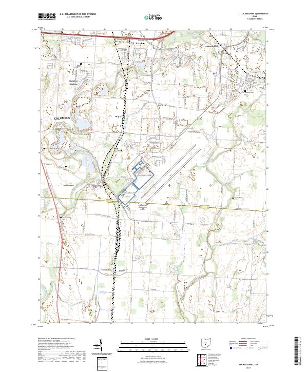 2023 Lockbourne2023 Print · USGSThe Franklin and Pickaway county line south of Columbus reveals a landscape where historic villages meet modern aviation infrastructure. Local historians can trace family ties through several rural burial grounds like Paul Peters Farm Cem and Rarey Cem while surveying the vast footprint of Rickenbacker International Airport.
 - 2023 Map of Southeast Columbus, 2023 Print
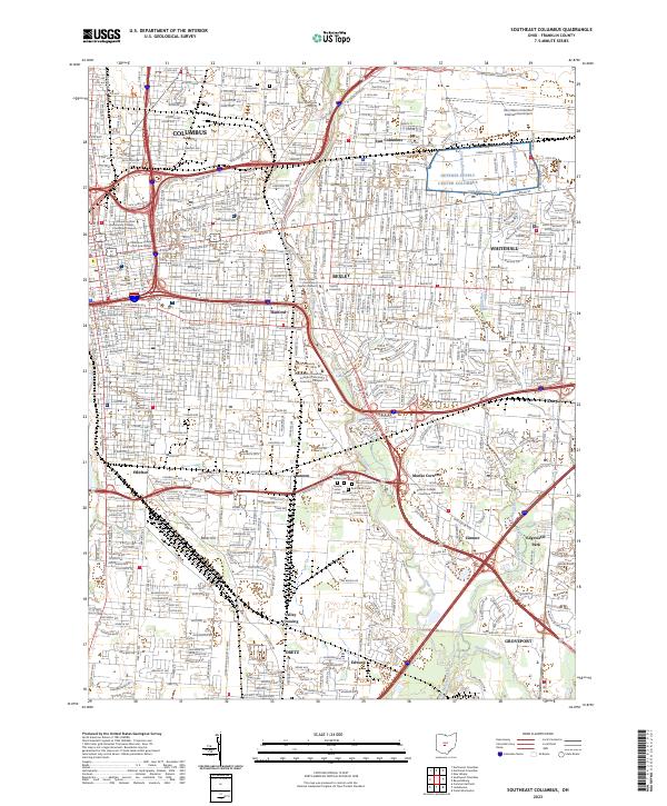 2023 Southeast Columbus2023 Print · USGSThe Columbus metropolitan area and its eastern suburbs are mapped here during a period of modern growth. Genealogists and researchers can trace the neighborhoods of Bexley and Whitehall, or locate landmarks like Evergreen Burial Park and Hanford.
End of results
Showing maps 1-22 of 22
Top cities near Obetz
- Columbus historical maps
- Dublin historical maps
- Westerville historical maps
- Hilliard historical maps
- Upper Arlington historical maps
- Reynoldsburg historical maps
See more
Frequently asked questions
- What are the different types of historical maps available for Obetz?
- What is the oldest map of Obetz?
- Where can I purchase historical maps of Obetz for my home or office?
- Where can I download high-res historical maps of Obetz?
- Are there historical topographic maps available for Obetz?
- Is there historical aerial imagery available for Obetz?
- Where are historical maps of Obetz sourced from?