2000s (21st Century) Maps of Middlefield Township, Ohio
Explore 10 historic maps of Middlefield Township from the 2000s (21st Century). These maps offer a rare glimpse into what life looked like during the 2000s — showing old roads, neighborhoods, homes, and landmarks that have changed or disappeared over time.
Whether you're researching your family's past, planning a metal detecting trip, or studying how Middlefield Township's landscape evolved across the 2000s, these high-resolution maps are a powerful tool for exploring the history of this region.
- Focus on a specific era: All maps on this page are from the 2000s, giving you a focused view of this time period.
- See what’s changed: Compare century-old streets, trails, and buildings to today's modern landscape using overlays and satellite layers.
- Research with precision: Use these maps for genealogy, historical research, land use analysis, or educational projects.
- View, download, or print: Maps are fully viewable online in high resolution, and can be downloaded or printed for your own records.
Start exploring Middlefield Township's history through authentic maps from the 2000s. This is your window into the past.
Middlefield Township, OH maps
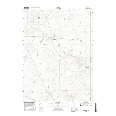
(10)- 2010 Map of Middlefield, 2010 Print
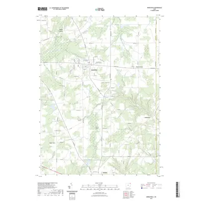
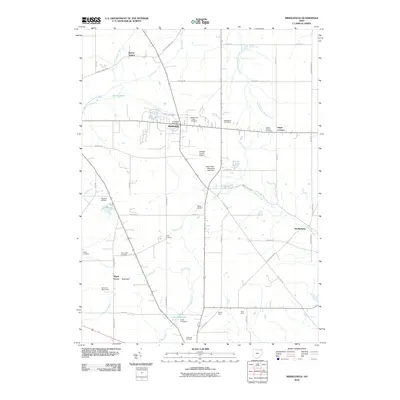 2010 Middlefield2010 Print · USGSCovers Middlefield Township, including Mesopotamia Township, Farmington Township, and other nearby areas
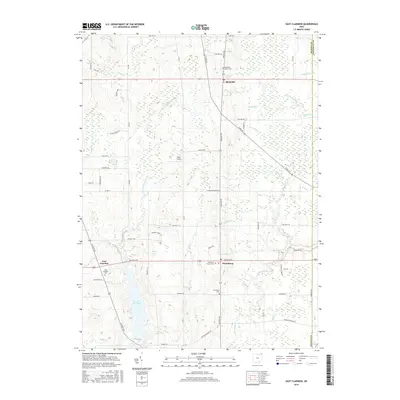
 - 2010 Map of East Claridon, 2010 Print
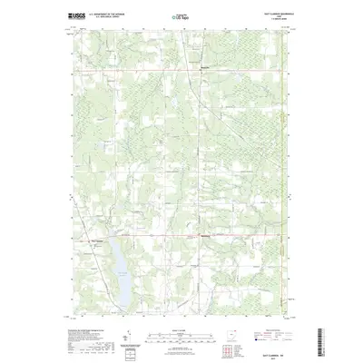
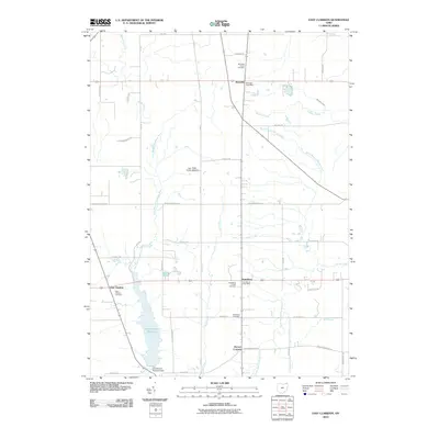 2010 East Claridon2010 Print · USGSCovers Middlefield Township, including Hambden Township, Mesopotamia Township, and other nearby areas
 - 2013 Map of Middlefield, 2013 Print
 2013 Middlefield2013 Print · USGSCovers Middlefield Township, including Mesopotamia Township, Farmington Township, and other nearby areas
 - 2013 Map of East Claridon, 2013 Print
 2013 East Claridon2013 Print · USGSCovers Middlefield Township, including Hambden Township, Mesopotamia Township, and other nearby areas
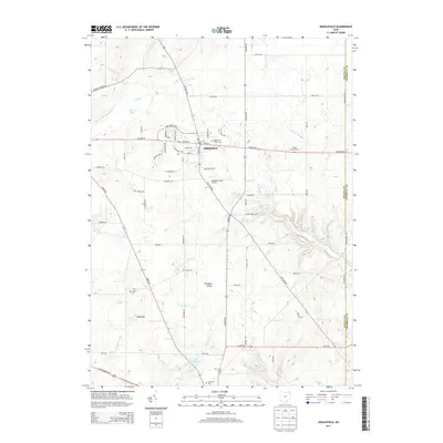
 - 2016 Map of Middlefield, 2016 Print
 2016 Middlefield2016 Print · USGSCovers Middlefield Township, including Mesopotamia Township, Farmington Township, and other nearby areas
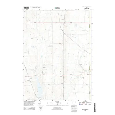
 - 2016 Map of East Claridon, 2016 Print
 2016 East Claridon2016 Print · USGSCovers Middlefield Township, including Hambden Township, Mesopotamia Township, and other nearby areas
 - 2019 Map of Middlefield, 2019 Print
 2019 Middlefield2019 Print · USGSCovers Middlefield Township, including Mesopotamia Township, Farmington Township, and other nearby areas
 - 2019 Map of East Claridon, 2019 Print
 2019 East Claridon2019 Print · USGSCovers Middlefield Township, including Hambden Township, Mesopotamia Township, and other nearby areas
 - 2023 Map of East Claridon, 2023 Print
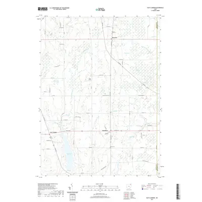
 2023 East Claridon2023 Print · USGSGeauga County's agricultural heartland is documented here in the early 2020s, showing the enduring rural character of the Western Reserve. Genealogists can locate family sites near East Claridon Cem, Huntsburg Center Cem, or along the East Branch Cuyahoga River.
 - 2023 Map of Middlefield, 2023 Print
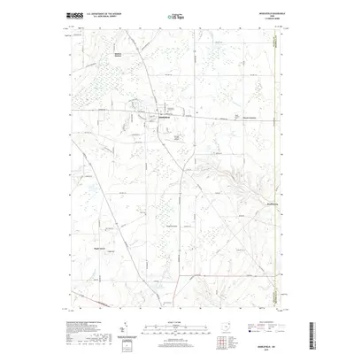
 2023 Middlefield2023 Print · USGSGeauga County’s agricultural and industrial character is preserved in this recent survey of the Middlefield and Parkman areas. Local historians can trace family roots through numerous burial sites like Middlefield Center Cem and explore the geography of Parkman Gorge.
End of results
Showing maps 1-10 of 10
Top cities near Middlefield Township
- Warren historical maps
- Champion Township historical maps
- Champion historical maps
- Shalersville historical maps
- Chardon historical maps
- Warren Township historical maps
See more
Top neighborhoods of Middlefield Township
Frequently asked questions
- What are the different types of historical maps available for Middlefield Township?
- What is the oldest map of Middlefield Township?
- Where can I purchase historical maps of Middlefield Township for my home or office?
- Where can I download high-res historical maps of Middlefield Township?
- Are there historical topographic maps available for Middlefield Township?
- Is there historical aerial imagery available for Middlefield Township?
- Where are historical maps of Middlefield Township sourced from?