Old Maps of Green Springs, Ohio for Hiking & Exploration
Hike through history with 19 historic maps of Green Springs. Explore old trails, ghost towns, and forgotten backroads — perfect for outdoor adventurers and local explorers.
- Rediscover forgotten places: Map out old mining camps, roads, and footpaths that no longer exist on modern maps.
- Layer with modern tools: Combine with LiDAR or satellite views to plan hikes through historical terrain.
- Made for exploration: Popular among hikers, overlanders, and local history lovers.
Use these maps to find adventure and explore the hidden past of Green Springs.
Green Springs, OH maps
(19)- 1901 Map of Fremont, 1961 Print
 1901 Fremont1961 Print · USGSSandusky County at the dawn of the twentieth century is a bustling corridor of steam and electric rail lines. Trace the industrial footprint of Fremont and locate vanished rural junctions like Kingsway, Havens, and the Seneca Indian Reservation.
 - 1903 Map of Fremont, 1934 Print
 1903 Fremont1934 Print · USGSNorthwest Ohio at the turn of the century was a bustling intersection of heavy rail and river commerce centered on the Sandusky River. Researchers can trace the early footprints of Fremont and Green Spring or locate smaller stops along the Wheeling and Lake Erie and the electric line to Ballville.2 unique versions available
 - 1906 Map of Tiffin, 1948 Print
 1906 Tiffin1948 Print · USGSSeneca County's rail-and-river network is frozen in time during the first decade of the 1900s. Genealogists can trace family roots through vanished stops like Linden or follow the Seneca Indian Reservation Boundary past Tiffin and Bloomville.
 - 1956 Map of Toledo, 1968 Print
 1956 Toledo1968 Print · USGSNorthwest Ohio and the Lake Erie shoreline are shown in detail during the late fifties, showcasing a landscape of heavy industry, railroads, and island communities. Genealogists and historians can trace rail networks like the Chesapeake & Ohio RR or locate landmarks such as the Erie Proving Ground and Kelleys Island.4 unique versions available
 - 1958 Map of Fremont East, 1960 Print
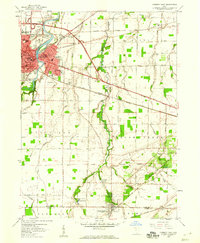 1958 Fremont East1960 Print · USGSThe Sandusky River valley and the city of Fremont are captured in the late fifties as they grow alongside major rail and highway corridors. Genealogists can locate family landmarks like McGormley Cemetery, the St Francis of Oak Ridge Hospital, and the Old Indian Treaty Boundary.
 - 1960 Map of Watson, 1961 Print
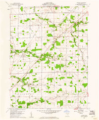 1960 Watson1961 Print · USGSSeneca County's rural townships are captured in the early sixties as they balanced traditional agriculture with mid-century changes like the Tiffin Speedway. Researchers can find legacy sites including McMeen Cem, St Jacobs Ch, and the long-standing Old Indian Treaty Boundary.3 unique versions available
 - 1961 Map of Toledo
 1961 Toledo1961 Print · USGSThe western basin of Lake Erie and the industrial heart of Northern Ohio are captured here during the post-war era. Researchers can trace historical rail lines like the New York Central or locate landmarks like the Erie Ordnance Depot and Pelee Island.
 - 1969 Map of Fremont East, 1971 Print
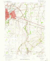 1969 Fremont East1971 Print · USGSThe Sandusky River valley in the late 1960s reveals a landscape shaped by historical boundaries and industrial growth. Researchers can trace the Old Indian Treaty Boundary, explore family lineage at Beeler Cem, or locate the St Francis of Oak Ridge Hospital.2 unique versions available
 - 1986 Map of Findlay
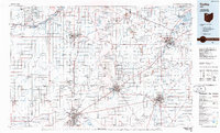 1986 Findlay1986 Print · USGSNorthwest Ohio's industrial and agricultural heartland is documented here in the mid-1980s, centered on the major hubs of Findlay, Fostoria, and Tiffin. Researchers can trace the intersections of the BALTIMORE AND OHIO railroad and family sites near Greenlawn Cem or Sagar Ridge.2 unique versions available
 - 2010 Map of Watson, 2010 Print
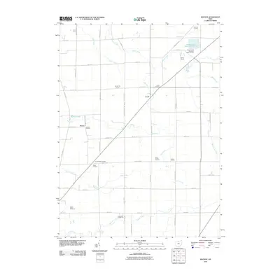 2010 Watson2010 Print · USGSNorthwestern Ohio farmland near Lowell was documented in detail during the early twenty-first century. Genealogists can trace numerous local burial sites like McMeen Cemetery and Saint Jacobs Cemetery alongside the Beaver Creek Upground Reservoir.
 - 2010 Map of Fremont East, 2010 Print
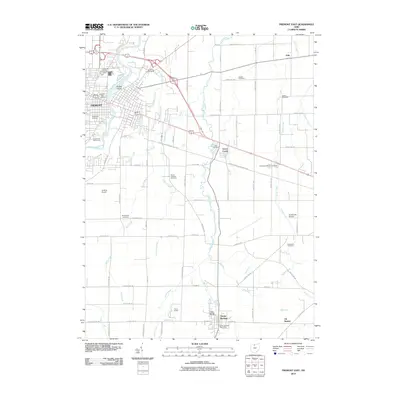 2010 Fremont East2010 Print · USGSFremont and the surrounding Sandusky County countryside are captured here in the early twenty-first century, showing a mix of historic institutional grounds and rural townships. Trace local family history through Whittlesey Cemetery, the Sandusky County Home, and the quiet crossroads at Erlin.
 - 2013 Map of Fremont East, 2013 Print
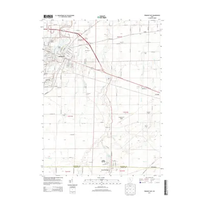 2013 Fremont East2013 Print · USGSSandusky County at the start of the 2010s shows a landscape where the river city of Fremont meets the surrounding agricultural plains. Genealogists and historians can trace many local burial sites, from Bakertown Cemetery to Greenlawn Memory Gardens.
 - 2013 Map of Watson, 2013 Print
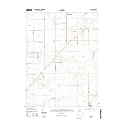 2013 Watson2013 Print · USGSSeneca County's rural landscape is captured here in the early twenty-first century, spanning the agrarian spaces between Green Springs and Republic. Family historians can locate numerous burial sites including Lowell Cem and Bunker Hill Cem among the headwaters of Indian Cr.
 - 2016 Map of Fremont East, 2016 Print
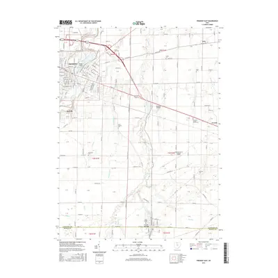 2016 Fremont East2016 Print · USGSFremont and the surrounding Sandusky County townships are captured here in the mid-2010s, showing a landscape defined by the Sandusky River and rural agricultural stretches. Genealogists can trace several local burial sites, including County Home Cem, Bakertown Cem, and Greenlawn Memory Gardens Cem.
 - 2016 Map of Watson, 2016 Print
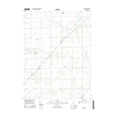 2016 Watson2016 Print · USGSGreen Springs and Republic define this Ohio agricultural landscape during the mid-2010s. Genealogists can locate several family burial sites including Bunker Hill Cem, McMeen Cem, and Pleasant Ridge Cem.
 - 2019 Map of Watson, 2019 Print
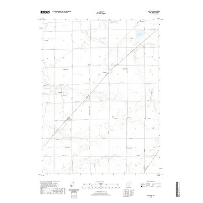 2019 Watson2019 Print · USGSGreen Springs and the surrounding Seneca County agricultural landscape are captured here in the late 2010s. Genealogists can locate numerous small family and community burial sites, including McMeen Cem, Egbert Cem, and Pleasant Ridge Cem.
 - 2019 Map of Fremont East, 2019 Print
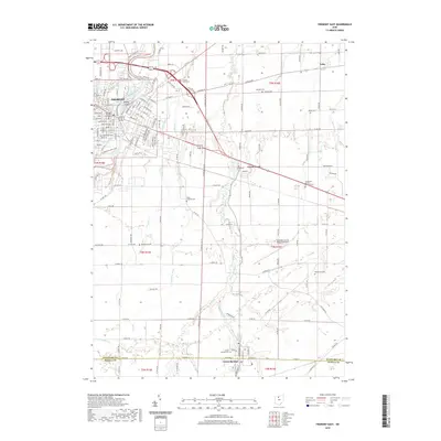 2019 Fremont East2019 Print · USGSFremont and the surrounding agricultural townships of Sandusky County are captured here in the late 2010s. Researchers can trace the path of the Norfolk Southern railroad or locate rural landmarks like Saint Francis Springs, Erlin, and Mount Lebanon Cem.
 - 2023 Map of Fremont East, 2023 Print
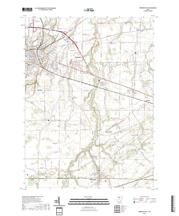 2023 Fremont East2023 Print · USGSFremont and the surrounding Sandusky County farmlands are documented here in the early twenty-first century, showing the enduring layout of these historic Ohio settlements. Researchers can locate numerous family burial sites such as Dana Cem and Bakertown Cem or trace the course of Bark Creek through the rural townships.
 - 2023 Map of Watson, 2023 Print
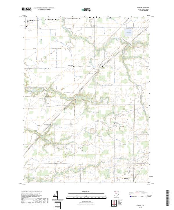 2023 Watson2023 Print · USGSSeneca County's agricultural heartland is documented here in the early twenty-first century, showing the enduring structure of its rural townships. Genealogists can locate several historic burial sites like Bunker Hill Cem and Coffman Cem alongside the waters of Sugar Creek.
End of results
Showing maps 1-19 of 19
Top cities near Green Springs
- Tiffin historical maps
- Fremont historical maps
- Green Creek historical maps
- Ballville historical maps
- Clyde historical maps
- Bellevue historical maps
See more
Frequently asked questions
- What are the different types of historical maps available for Green Springs?
- What is the oldest map of Green Springs?
- Where can I purchase historical maps of Green Springs for my home or office?
- Where can I download high-res historical maps of Green Springs?
- Are there historical topographic maps available for Green Springs?
- Is there historical aerial imagery available for Green Springs?
- Where are historical maps of Green Springs sourced from?