2000s (21st Century) Maps of Jamestown, Silvercreek Township
Explore 10 historic maps of Jamestown from the 2000s (21st Century). These maps offer a rare glimpse into what life looked like during the 2000s — showing old roads, neighborhoods, homes, and landmarks that have changed or disappeared over time.
Whether you're researching your family's past, planning a metal detecting trip, or studying how Jamestown's landscape evolved across the 2000s, these high-resolution maps are a powerful tool for exploring the history of this region.
- Focus on a specific era: All maps on this page are from the 2000s, giving you a focused view of this time period.
- See what’s changed: Compare century-old streets, trails, and buildings to today's modern landscape using overlays and satellite layers.
- Research with precision: Use these maps for genealogy, historical research, land use analysis, or educational projects.
- View, download, or print: Maps are fully viewable online in high resolution, and can be downloaded or printed for your own records.
Start exploring Jamestown's history through authentic maps from the 2000s. This is your window into the past.
Jamestown, Silvercreek Township maps
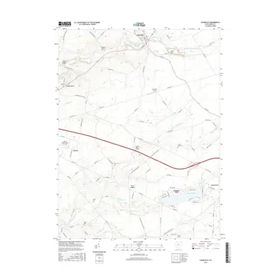
(10)- 2010 Map of Jamestown, 2010 Print
 2010 Jamestown2010 Print · USGSCovers Jamestown, including Stokes Township, Shady Grove, and other nearby areas
 - 2010 Map of Cedarville, 2010 Print
 2010 Cedarville2010 Print · USGSCovers Jamestown, including Xenia, Cedarville, and other nearby areas
 - 2013 Map of Jamestown, 2013 Print
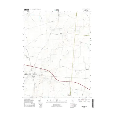
 2013 Jamestown2013 Print · USGSCovers Jamestown, including Stokes Township, Shady Grove, and other nearby areas
 - 2013 Map of Cedarville, 2013 Print
 2013 Cedarville2013 Print · USGSCovers Jamestown, including Xenia, Cedarville, and other nearby areas
 - 2016 Map of Cedarville, 2016 Print
 2016 Cedarville2016 Print · USGSCovers Jamestown, including Xenia, Cedarville, and other nearby areas
 - 2016 Map of Jamestown, 2016 Print
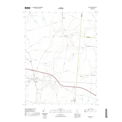
 2016 Jamestown2016 Print · USGSCovers Jamestown, including Stokes Township, Shady Grove, and other nearby areas
 - 2019 Map of Cedarville, 2019 Print
 2019 Cedarville2019 Print · USGSCovers Jamestown, including Xenia, Cedarville, and other nearby areas
 - 2019 Map of Jamestown, 2019 Print
 2019 Jamestown2019 Print · USGSCovers Jamestown, including Stokes Township, Shady Grove, and other nearby areas
 - 2023 Map of Jamestown, 2023 Print
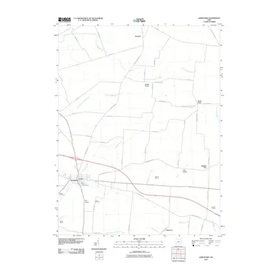
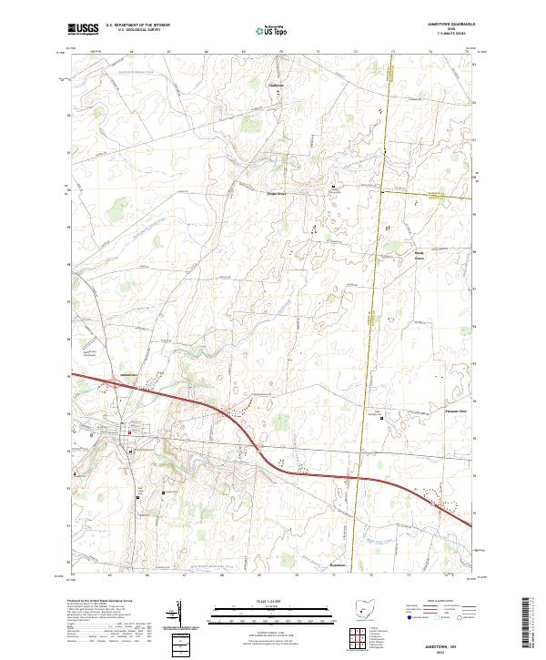 2023 Jamestown2023 Print · USGSSouthwestern Ohio farmland and rural crossroads are captured here in the early twenty-first century. Researchers can locate several burial sites like Quaker Cem and Grape Grove Cem, or trace the winding path of South Fork Massies Creek.
 - 2023 Map of Cedarville, 2023 Print
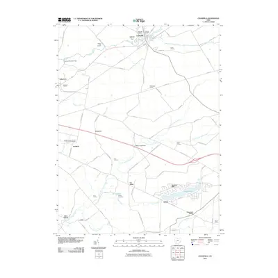
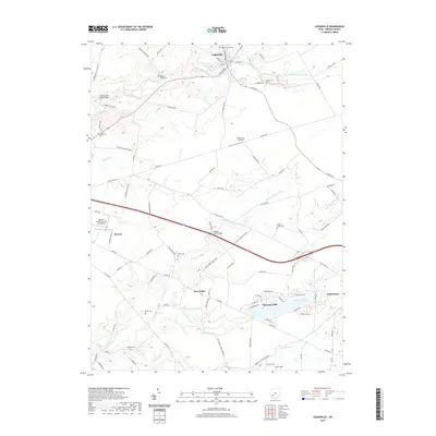
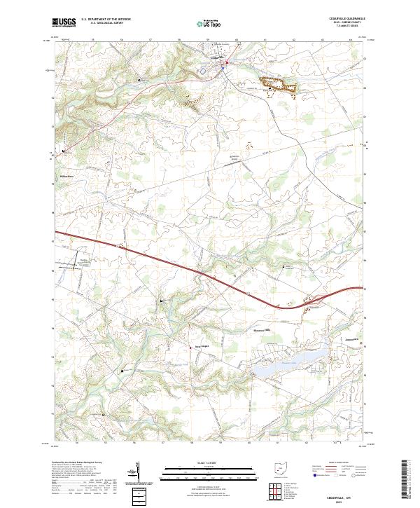 2023 Cedarville2023 Print · USGSThe rural landscapes of Greene County are captured here in 2023, showcasing the evolving layout of Cedarville and its university. Researchers can locate numerous family and community burial sites like Baptist Cem, Dean Cem, and Hagler Cem scattered across the Caesar Creek watershed.
End of results
Showing maps 1-10 of 10
Top cities near Jamestown
- Springfield historical maps
- Fairborn historical maps
- Xenia historical maps
- Wilmington historical maps
- Cedarville historical maps
- Yellow Springs historical maps
See more
Frequently asked questions
- What are the different types of historical maps available for Jamestown?
- What is the oldest map of Jamestown?
- Where can I purchase historical maps of Jamestown for my home or office?
- Where can I download high-res historical maps of Jamestown?
- Are there historical topographic maps available for Jamestown?
- Is there historical aerial imagery available for Jamestown?
- Where are historical maps of Jamestown sourced from?