Old Maps of Kipling, Ohio for Academic Research
Study the evolution of Kipling with 13 high-resolution historic maps. Whether you're teaching, researching, or modeling changes in land use, these maps provide essential visual documentation of urban, environmental, and geographic change.
- Analyze long-term change: Track patterns in development, transportation, and natural features.
- Ideal for environmental or urban studies: Support academic projects with primary historical map data.
- Use in the classroom or lab: Educators and researchers rely on these maps to bring historical context to life.
These maps are a powerful tool for teaching, research, and visualizing how Kipling has changed over the decades.
Kipling, OH maps
(13)- 1911 Map of Cumberland, 1939 Print
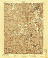 1911 Cumberland1939 Print · USGSSoutheastern Ohio at the start of the twentieth century was a landscape of ridge-top schools and valley rail junctions. Genealogists can trace family footprints through dozens of rural landmarks like Goshen Church, Dogtown, and the Rough and Ready School.2 unique versions available
 - 1949 Map of Clarksburg
 1949 Clarksburg1949 Print · USGSThe upper Ohio River valley and the industrial heart of West Virginia come into focus during this post-war period. Genealogists and researchers can trace the rail corridors of the Baltimore and Ohio and locate centers like Fairmont, Grafton, and Waynesburg.
 - 1956 Map of Clarksburg, 1966 Print
 1956 Clarksburg1966 Print · USGSThe Ohio River valley and the industrial heart of West Virginia are seen here in the mid-1950s as rail and river commerce thrived. Researchers can trace historic transport lines like the Baltimore and Ohio RR and locate ancestral homes in Clarksburg, Moundsville, or Parkersburg.2 unique versions available
 - 1961 Map of Clarksburg
 1961 Clarksburg1961 Print · USGSThe mid-century industrial and river landscapes of West Virginia and Ohio are detailed here, centered on the Ohio River. Researchers can trace the Baltimore and Ohio rail lines connecting towns like Parkersburg, Clarksburg, and Monongah.
 - 1961 Map of Byesville, 1963 Print
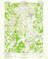 1961 Byesville1963 Print · USGSGuernsey County's mining and rail landscape is captured here in the early sixties, showing the transition between historic military districts and congress lands. Genealogists can locate family sites at Greenwood Cemetery, Beech Grove Sch, and along the Old Railroad Grade.4 unique versions available
 - 1980 Map of Senecaville, 1983 Print
 1980 Senecaville1983 Print · USGSEastern Ohio at the start of the eighties reveals a complex landscape of coal extraction and river commerce. Genealogists and historians can trace rail lines like the Conrail and Baltimore and Ohio RR connecting towns like Byesville and Woodsfield.2 unique versions available
 - 1988 Map of Clarksburg, 1989 Print
 1988 Clarksburg1989 Print · USGSThe central Appalachians are documented in detail during the late eighties, showing the industrial and river-based economies of West Virginia, Ohio, and Pennsylvania. Researchers can trace historic rail routes like the B & O RR and locate river towns from St Marys to Parkersburg.
 - 1994 Map of Byesville, 1998 Print
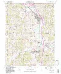 1994 Byesville1998 Print · USGSByesville and Pleasant City appear here in the mid-1990s, surrounded by an active landscape of extraction and deep-rooted community ties. Researchers can trace family history through sites like Greenwood Cemetery, Beech Grove Sch, and the Old Railroad Grade.
 - 2010 Map of Byesville, 2010 Print
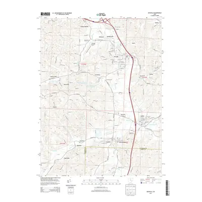
 2010 Byesville2010 Print · USGSCovers Kipling, including Cambridge, Byesville, and other nearby areas
 - 2013 Map of Byesville, 2013 Print
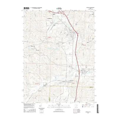
 2013 Byesville2013 Print · USGSCovers Kipling, including Cambridge, Byesville, and other nearby areas
 - 2016 Map of Byesville, 2016 Print
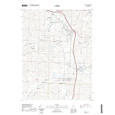
 2016 Byesville2016 Print · USGSCovers Kipling, including Cambridge, Byesville, and other nearby areas
 - 2019 Map of Byesville, 2019 Print
 2019 Byesville2019 Print · USGSCovers Kipling, including Cambridge, Byesville, and other nearby areas
 - 2023 Map of Byesville, 2023 Print
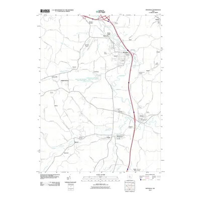
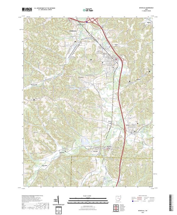 2023 Byesville2023 Print · USGSGuernsey County settlement patterns and old township roads are documented here as they appeared in the early 2020s. Researchers can locate family sites at Mount Calvary Cem, Saint Michael Cem, or the rural grounds of Harmony Cem.
End of results
Showing maps 1-13 of 13
Top cities near Kipling
- Cambridge historical maps
- New Concord historical maps
- Byesville historical maps
- Center historical maps
- Londonderry historical maps
- Quaker City historical maps
See more
Frequently asked questions
- What are the different types of historical maps available for Kipling?
- What is the oldest map of Kipling?
- Where can I purchase historical maps of Kipling for my home or office?
- Where can I download high-res historical maps of Kipling?
- Are there historical topographic maps available for Kipling?
- Is there historical aerial imagery available for Kipling?
- Where are historical maps of Kipling sourced from?