Old Maps of The Pines, Delhi Township for Metal Detecting
Plan your next treasure hunt with 13 historic maps of The Pines. Find old homesites, ghost towns, trails, and gathering spots that may be lost to time — perfect for identifying promising metal detecting locations.
- Locate forgotten sites: Uncover places like long-lost settlements, abandoned rail lines, or gathering spots.
- Plan better hunts: Use map overlays combined with LiDAR or satellite views to narrow in on historically rich areas.
- Made for detectorists: Thousands of hobbyists use these maps to discover relics, coins, and hidden history.
Use these historic maps to boost your research and find new opportunities beneath the surface of The Pines.
The Pines, Delhi Township maps
(13)- 1914 Map of West Cincinnati
 1914 West Cincinnati1914 Print · USGSCincinnati and the Ohio River valley appear here in a period of intense industrial growth and suburban expansion just before the First World War. Researchers can trace the dense rail networks of the Chesapeake and Ohio or locate early institutions like the Ohio Military Institute and Spring Grove Cemetery.4 unique versions available
 - 1951 Map of Burlington, 1953 Print
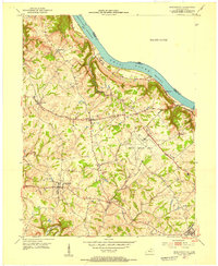 1951 Burlington1953 Print · USGSBoone County and the Ohio River shoreline appear here in the early fifties, showing the region as it transitioned into a major aviation hub. Genealogists can locate family burial sites like I O O F Cem and Watts Cem, or trace early roads near Hebron and Florence.
 - 1953 Map of Cincinnati, 1965 Print
 1953 Cincinnati1965 Print · USGSThe Ohio River valley and the industrial heartland of Indiana and Ohio are captured here during the mid-century peak of rail and river commerce. Genealogists and historians can trace connections between Cincinnati and outlying military sites like Camp Atterbury and Bakalar AFB.3 unique versions available
 - 1955 Map of Burlington, 1956 Print
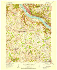 1955 Burlington1956 Print · USGSThe Ohio River valley in the mid-fifties reveals a bustling industrial riverfront alongside quiet Kentucky hillsides. Genealogists and historians can trace family cemeteries like Chambers Cem, locate the Anderson Ferry, and see the early Greater Cincinnati Airport.
 - 1957 Map of Cincinnati
 1957 Cincinnati1957 Print · USGSThe Ohio River valley and its surrounding highlands thrived during the mid-fifties industrial peak, centered on the bustling Cincinnati and Dayton metropolitan hubs. Researchers can trace the extensive rail networks and military sites like Wright-Patterson AFB and Camp Atterbury.
 - 1961 Map of Burlington, 1963 Print
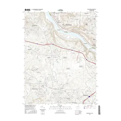
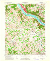 1961 Burlington1963 Print · USGSNorthern Kentucky and the Cincinnati riverfront meet in the early sixties during a period of rapid suburban and industrial growth. Genealogists and local historians can trace family burial sites like the Col Abraham Depew Grave and river crossings like the Anderson Ferry.3 unique versions available
 - 1983 Map of Burlington
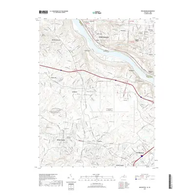
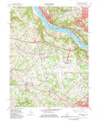 1983 Burlington1983 Print · USGSBoone County and the Cincinnati riverfront are captured here in the early eighties as aviation and suburban growth transformed the landscape. Researchers can find old family sites like the Col Abraham Depew Grave, the Anderson Ferry, and the Latonia Racetrack.4 unique versions available
 - 1986 Map of Cincinnati
 1986 Cincinnati1986 Print · USGSGreater Cincinnati and its tri-state surrounds are captured here in the mid-eighties as suburban growth reached into the neighboring hills and river valleys. Researchers can trace the development of transit hubs like Greater Cincinnati International Airport and historic sites such as Spring Grove Cemetery.3 unique versions available
 - 2010 Map of Burlington, 2010 Print
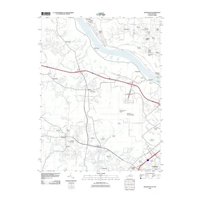 2010 Burlington2010 Print · USGSCovers The Pines, including Cincinnati, Florence, and other nearby areas
 - 2013 Map of Burlington, 2013 Print
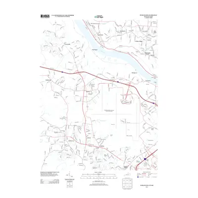 2013 Burlington2013 Print · USGSCovers The Pines, including Cincinnati, Florence, and other nearby areas
 - 2016 Map of Burlington, 2016 Print
 2016 Burlington2016 Print · USGSCovers The Pines, including Cincinnati, Florence, and other nearby areas
 - 2019 Map of Burlington, 2019 Print
 2019 Burlington2019 Print · USGSCovers The Pines, including Cincinnati, Florence, and other nearby areas
 - 2022 Map of Burlington, 2022 Print
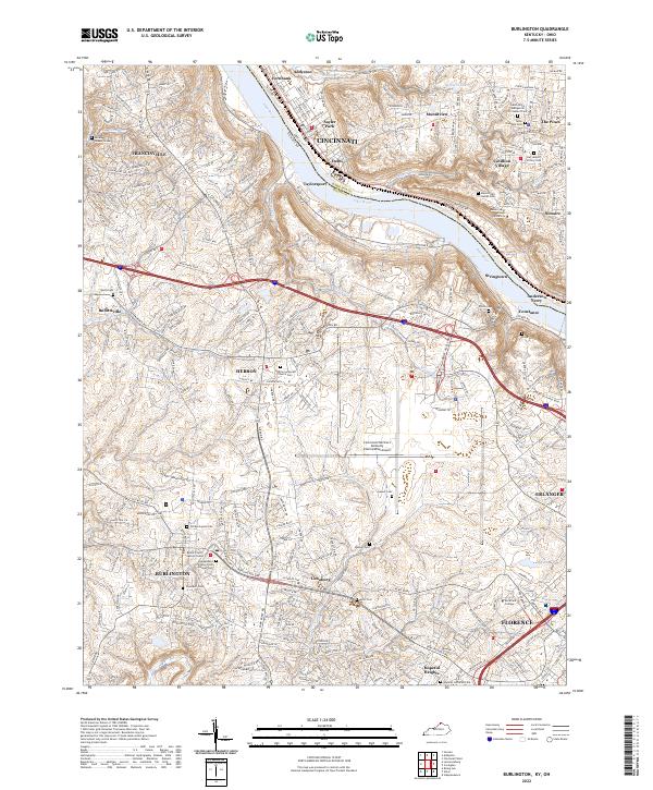 2022 Burlington2022 Print · USGSNorthern Kentucky and the Cincinnati riverfront are captured here in the early twenty-first century. Researchers can trace family sites at the Old Burlington Cem, Hebron Lutheran Church Cem, and the Boone County Justice Center.
End of results
Showing maps 1-13 of 13
Top cities near The Pines
- Cincinnati historical maps
- Hamilton historical maps
- Fairfield historical maps
- Covington historical maps
- Florence historical maps
- Independence historical maps
See more
Frequently asked questions
- What are the different types of historical maps available for The Pines?
- What is the oldest map of The Pines?
- Where can I purchase historical maps of The Pines for my home or office?
- Where can I download high-res historical maps of The Pines?
- Are there historical topographic maps available for The Pines?
- Is there historical aerial imagery available for The Pines?
- Where are historical maps of The Pines sourced from?