Old Maps of Deweyville, Ohio for Genealogy
Trace your family roots with 9 historic maps of Deweyville. These high-res maps reveal old neighborhoods, homesites, landmarks, and streets — helping you uncover where your ancestors lived and how the area evolved over time.
- Explore historic neighborhoods: Identify where your relatives may have lived in the 1800s or 1900s.
- Compare maps over time: Trace the changes in streets, buildings, and landmarks for multi-generational research.
- Perfect for genealogy & ancestry research: Used by family historians and researchers to map out lineage and migration.
These maps are an incredible resource for exploring your personal connection to Deweyville's past.
Deweyville, OH maps
(9)- 1956 Map of Toledo, 1968 Print
 1956 Toledo1968 Print · USGSNorthwest Ohio and the Lake Erie shoreline are shown in detail during the late fifties, showcasing a landscape of heavy industry, railroads, and island communities. Genealogists and historians can trace rail networks like the Chesapeake & Ohio RR or locate landmarks such as the Erie Proving Ground and Kelleys Island.4 unique versions available
 - 1960 Map of Hoytville, 1961 Print
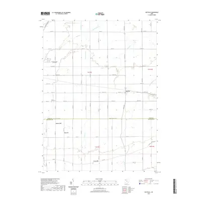
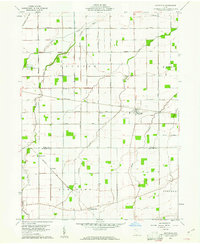 1960 Hoytville1961 Print · USGSNorthwest Ohio's productive farmlands come into sharp focus in the early sixties, showing the vital intersection of rail and road. Genealogists and historians can trace family locations near Hoytville, Deweyville, and the Thomas Cem along the Baltimore and Ohio Railroad.4 unique versions available
 - 1961 Map of Toledo
 1961 Toledo1961 Print · USGSThe western basin of Lake Erie and the industrial heart of Northern Ohio are captured here during the post-war era. Researchers can trace historical rail lines like the New York Central or locate landmarks like the Erie Ordnance Depot and Pelee Island.
 - 1986 Map of Findlay
 1986 Findlay1986 Print · USGSNorthwest Ohio's industrial and agricultural heartland is documented here in the mid-1980s, centered on the major hubs of Findlay, Fostoria, and Tiffin. Researchers can trace the intersections of the BALTIMORE AND OHIO railroad and family sites near Greenlawn Cem or Sagar Ridge.2 unique versions available
 - 2010 Map of Hoytville, 2010 Print
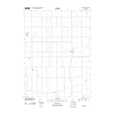 2010 Hoytville2010 Print · USGSCovers Deweyville, including Hoytville, Butlers Mill, and other nearby areas
 - 2013 Map of Hoytville, 2013 Print
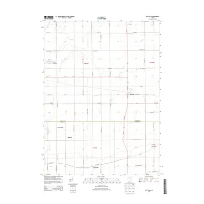 2013 Hoytville2013 Print · USGSCovers Deweyville, including Hoytville, Butlers Mill, and other nearby areas
 - 2016 Map of Hoytville, 2016 Print
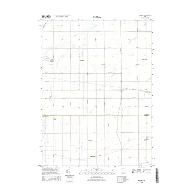 2016 Hoytville2016 Print · USGSCovers Deweyville, including Hoytville, Butlers Mill, and other nearby areas
 - 2019 Map of Hoytville, 2019 Print
 2019 Hoytville2019 Print · USGSCovers Deweyville, including Hoytville, Butlers Mill, and other nearby areas
 - 2023 Map of Hoytville, 2023 Print
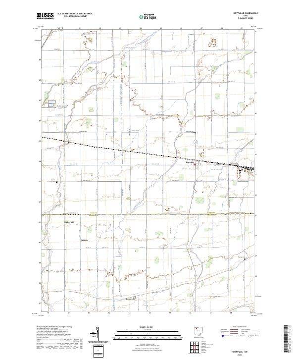 2023 Hoytville2023 Print · USGSAgricultural life in northwestern Ohio centers on Hoytville and the surrounding farmsteads. Genealogists can locate family landmarks like Jackson Township Cem and trace old rail history along the Baltimore and Ohio RR.
End of results
Showing maps 1-9 of 9
Top cities near Deweyville
- Findlay historical maps
- Bowling Green historical maps
- Ottawa historical maps
- North Baltimore historical maps
- Leipsic historical maps
- Deshler historical maps
See more
Frequently asked questions
- What are the different types of historical maps available for Deweyville?
- What is the oldest map of Deweyville?
- Where can I purchase historical maps of Deweyville for my home or office?
- Where can I download high-res historical maps of Deweyville?
- Are there historical topographic maps available for Deweyville?
- Is there historical aerial imagery available for Deweyville?
- Where are historical maps of Deweyville sourced from?