Old Maps of Roundhead Township, Ohio
Explore 31 old maps of Roundhead Township, spanning from 1913 to today. These high-resolution historic maps reveal how streets, neighborhoods, landmarks, and natural features evolved over time — perfect for genealogy, metal detecting, research, and local history exploration.
What you can do with these maps:
- See how Roundhead Township changed over time: Compare historical maps to modern-day views to trace roads, homesites, rail lines & more.
- View detailed metadata: Each map includes creators, publishers, year, scale, and archive source.
- Overlay maps with satellite & LiDAR: Visualize the past alongside modern tools to explore terrain & human change.
- Trusted historical sources: Maps sourced from the USGS, Library of Congress, and other archives.
- Access maps your way: View online, download high-res files, or order prints for personal or research use.
Start exploring old maps of Roundhead Township to uncover forgotten places, hidden landmarks, and the deep history beneath your feet.
Roundhead Township, OH maps
(31)- 1913 Map of Alger
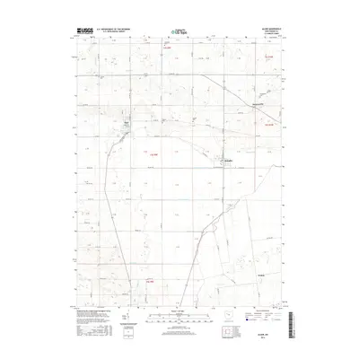
 1913 Alger1913 Print · USGSWestern Ohio's agricultural heartland is documented here just before the Great War, showing a landscape shaped by drainage ditches and rail lines. Locate family landmarks like the Bee Hive School, Mt Zion Church, and the vanished stops along the Chicago & Erie Railroad.2 unique versions available
 - 1915 Map of Alger
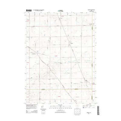
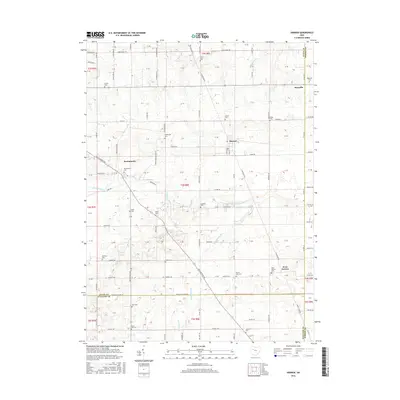
 1915 Alger1915 Print · USGSNorthwest Ohio's agricultural and rail heartland is captured here just before the First World War. Genealogists can locate family homesteads near dozens of early rural schoolhouses like Kingsley School and trace the paths of the ERIE RR and LAKEVIEW ELECTRIC ROAD.4 unique versions available
 - 1943 Map of Alger
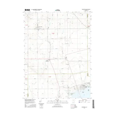
 1943 Alger1943 Print · USGSDuring the early 1940s, this pocket of Ohio was a landscape of rail-fed villages and drainage ditches. Trace family roots across a grid of rural schools like Sugarfree Sch, follow the Erie RR through Alger, or explore the shores of Indian Lake.
 - 1950 Map of Marion
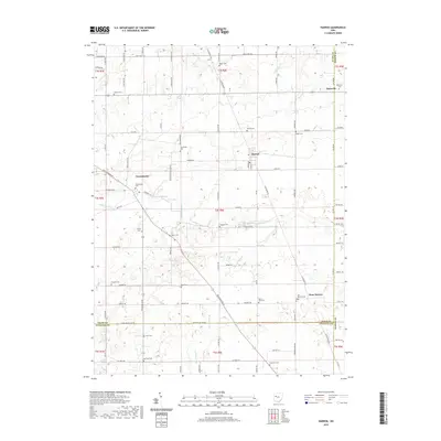
 1950 Marion1950 Print · USGSCentral Ohio was a powerhouse of rail and river industry at the mid-century point, serving as a vital corridor between the Great Lakes and the Ohio River valley. Genealogists and rail historians can trace the paths of the Erie RR and Nickel Plate Road through towns like Bucyrus, Galion, and Upper Sandusky.
 - 1960 Map of Roundhead, 1962 Print
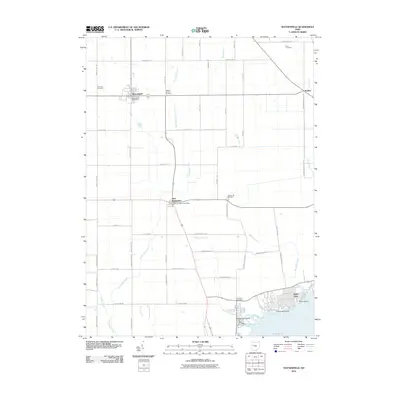
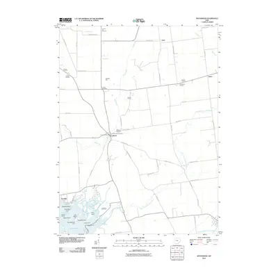
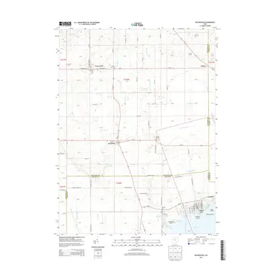
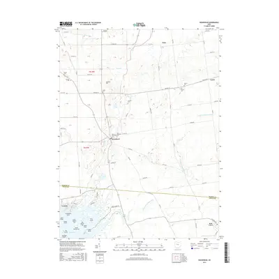
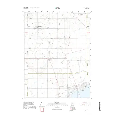
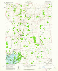 1960 Roundhead1962 Print · USGSThe northern shores of Indian Lake were coming into their own as a recreation destination in the early sixties. Researchers can trace the legacy of family farms and vanished crossroads through McArthur Cem, the tracks of the New York Central, and the village of Roundhead.3 unique versions available
 - 1961 Map of Alger, 1962 Print
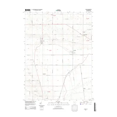
 1961 Alger1962 Print · USGSNorthwestern Hardin County thrived as a rail and drainage hub in the early sixties. Genealogists can trace family names at Carman Cem and Preston Cem or locate old community centers like Quickstep Ch and the village of McGuffey.2 unique versions available
 - 1961 Map of Waynesfield, 1962 Print
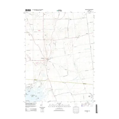
 1961 Waynesfield1962 Print · USGSAuglaize County farming life and the northern recreation shores of Indian Lake are captured here during the early sixties. Researchers can trace historic property divisions along the Old Indian Treaty Boundary and locate family burial sites like Willow Branch Cem or the village of New Hampshire.3 unique versions available
 - 1961 Map of Harrod, 1963 Print
 1961 Harrod1963 Print · USGSThe rural landscape of Allen and Auglaize Counties in the early sixties centers on the ERIE LACKAWANNA rail line and the Auglaize River. Genealogists can trace family footprints across dozens of local sites, including Harrod, West Newton, and Salem Cem.2 unique versions available
 - 1962 Map of Marion
 1962 Marion1962 Print · USGSCentral Ohio during the post-war era showcases a dense network of railroad towns and emerging interstate highways. Genealogists can trace family roots in smaller settlements like Houcktown and Marseilles or locate landmarks near Indian Lake.
 - 1966 Map of Marion, 1968 Print
 1966 Marion1968 Print · USGSCentral Ohio in the mid-sixties is captured during a period of rapid highway expansion and industrial connectivity. Genealogists and historians can trace rail-and-river networks through towns like Marion, Urbana, and Mount Vernon, or locate landmarks such as Malabar Farm and Black Hand Rock.3 unique versions available
 - 1986 Map of Marion
 1986 Marion1986 Print · USGSNorthwest Ohio's agricultural and rail heartland is captured here in the mid-1980s, centered on the expansion of Marion and Kenton. Genealogists can trace family footprints near Bluffton College, old rail stops like Dola, and landmarks such as Indian Lake State Park.2 unique versions available
 - 2010 Map of Waynesfield, 2010 Print
 2010 Waynesfield2010 Print · USGSCovers Roundhead Township, including Waynesfield, New Hampshire, and other nearby areas
 - 2010 Map of Roundhead, 2010 Print
 2010 Roundhead2010 Print · USGSCovers Roundhead Township, including Belle Center, Roundhead, and other nearby areas
 - 2010 Map of Harrod, 2010 Print
 2010 Harrod2010 Print · USGSCovers Roundhead Township, including Harrod, Maysville, and other nearby areas
 - 2010 Map of Alger, 2010 Print
 2010 Alger2010 Print · USGSCovers Roundhead Township, including Alger, McGuffey, and other nearby areas
 - 2013 Map of Waynesfield, 2013 Print
 2013 Waynesfield2013 Print · USGSCovers Roundhead Township, including Waynesfield, New Hampshire, and other nearby areas
 - 2013 Map of Harrod, 2013 Print
 2013 Harrod2013 Print · USGSCovers Roundhead Township, including Harrod, Maysville, and other nearby areas
 - 2013 Map of Alger, 2013 Print
 2013 Alger2013 Print · USGSCovers Roundhead Township, including Alger, McGuffey, and other nearby areas
 - 2013 Map of Roundhead, 2013 Print
 2013 Roundhead2013 Print · USGSCovers Roundhead Township, including Belle Center, Roundhead, and other nearby areas
 - 2016 Map of Alger, 2016 Print
 2016 Alger2016 Print · USGSCovers Roundhead Township, including Alger, McGuffey, and other nearby areas
 - 2016 Map of Harrod, 2016 Print
 2016 Harrod2016 Print · USGSCovers Roundhead Township, including Harrod, Maysville, and other nearby areas
 - 2016 Map of Waynesfield, 2016 Print
 2016 Waynesfield2016 Print · USGSCovers Roundhead Township, including Waynesfield, New Hampshire, and other nearby areas
 - 2016 Map of Roundhead, 2016 Print
 2016 Roundhead2016 Print · USGSCovers Roundhead Township, including Belle Center, Roundhead, and other nearby areas
 - 2019 Map of Waynesfield, 2019 Print
 2019 Waynesfield2019 Print · USGSCovers Roundhead Township, including Waynesfield, New Hampshire, and other nearby areas
 - 2019 Map of Harrod, 2019 Print
 2019 Harrod2019 Print · USGSCovers Roundhead Township, including Harrod, Maysville, and other nearby areas
Showing maps 1-25 of 31
Top cities near Roundhead Township
- Bellefontaine historical maps
- Kenton historical maps
- Ada historical maps
- Blanchard historical maps
- Russells Point historical maps
- Jackson Center historical maps
See more
Top neighborhoods of Roundhead Township
Frequently asked questions
- What are the different types of historical maps available for Roundhead Township?
- What is the oldest map of Roundhead Township?
- Where can I purchase historical maps of Roundhead Township for my home or office?
- Where can I download high-res historical maps of Roundhead Township?
- Are there historical topographic maps available for Roundhead Township?
- Is there historical aerial imagery available for Roundhead Township?
- Where are historical maps of Roundhead Township sourced from?