2000s (21st Century) Maps of Roundhead Township, Ohio
Explore 20 historic maps of Roundhead Township from the 2000s (21st Century). These maps offer a rare glimpse into what life looked like during the 2000s — showing old roads, neighborhoods, homes, and landmarks that have changed or disappeared over time.
Whether you're researching your family's past, planning a metal detecting trip, or studying how Roundhead Township's landscape evolved across the 2000s, these high-resolution maps are a powerful tool for exploring the history of this region.
- Focus on a specific era: All maps on this page are from the 2000s, giving you a focused view of this time period.
- See what’s changed: Compare century-old streets, trails, and buildings to today's modern landscape using overlays and satellite layers.
- Research with precision: Use these maps for genealogy, historical research, land use analysis, or educational projects.
- View, download, or print: Maps are fully viewable online in high resolution, and can be downloaded or printed for your own records.
Start exploring Roundhead Township's history through authentic maps from the 2000s. This is your window into the past.
Roundhead Township, OH maps
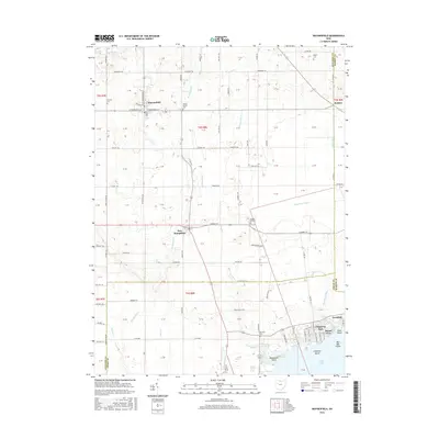
(20)- 2010 Map of Waynesfield, 2010 Print
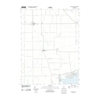 2010 Waynesfield2010 Print · USGSCovers Roundhead Township, including Waynesfield, New Hampshire, and other nearby areas
 - 2010 Map of Roundhead, 2010 Print
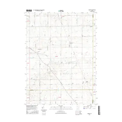
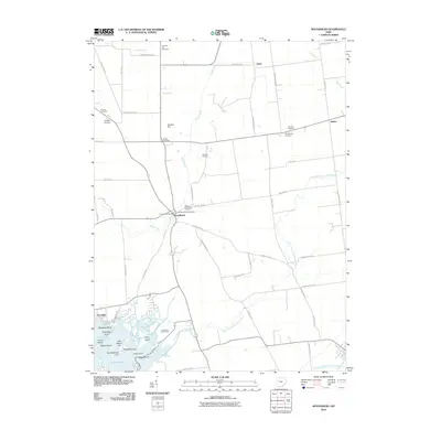 2010 Roundhead2010 Print · USGSCovers Roundhead Township, including Belle Center, Roundhead, and other nearby areas
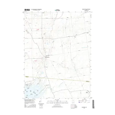
 - 2010 Map of Harrod, 2010 Print
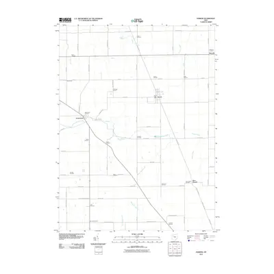 2010 Harrod2010 Print · USGSCovers Roundhead Township, including Harrod, Maysville, and other nearby areas
 - 2010 Map of Alger, 2010 Print
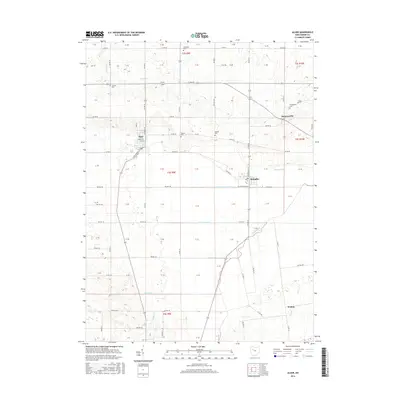
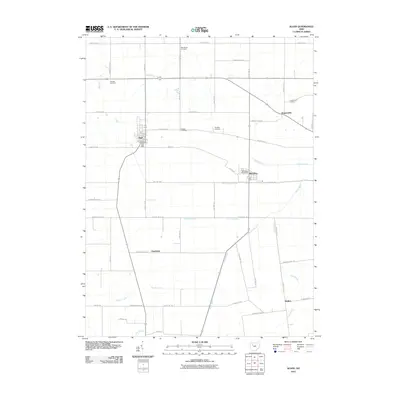 2010 Alger2010 Print · USGSCovers Roundhead Township, including Alger, McGuffey, and other nearby areas
 - 2013 Map of Waynesfield, 2013 Print
 2013 Waynesfield2013 Print · USGSCovers Roundhead Township, including Waynesfield, New Hampshire, and other nearby areas
 - 2013 Map of Harrod, 2013 Print
 2013 Harrod2013 Print · USGSCovers Roundhead Township, including Harrod, Maysville, and other nearby areas
 - 2013 Map of Alger, 2013 Print
 2013 Alger2013 Print · USGSCovers Roundhead Township, including Alger, McGuffey, and other nearby areas
 - 2013 Map of Roundhead, 2013 Print
 2013 Roundhead2013 Print · USGSCovers Roundhead Township, including Belle Center, Roundhead, and other nearby areas
 - 2016 Map of Alger, 2016 Print
 2016 Alger2016 Print · USGSCovers Roundhead Township, including Alger, McGuffey, and other nearby areas
 - 2016 Map of Harrod, 2016 Print
 2016 Harrod2016 Print · USGSCovers Roundhead Township, including Harrod, Maysville, and other nearby areas
 - 2016 Map of Waynesfield, 2016 Print
 2016 Waynesfield2016 Print · USGSCovers Roundhead Township, including Waynesfield, New Hampshire, and other nearby areas
 - 2016 Map of Roundhead, 2016 Print
 2016 Roundhead2016 Print · USGSCovers Roundhead Township, including Belle Center, Roundhead, and other nearby areas
 - 2019 Map of Waynesfield, 2019 Print
 2019 Waynesfield2019 Print · USGSCovers Roundhead Township, including Waynesfield, New Hampshire, and other nearby areas
 - 2019 Map of Harrod, 2019 Print
 2019 Harrod2019 Print · USGSCovers Roundhead Township, including Harrod, Maysville, and other nearby areas
 - 2019 Map of Alger, 2019 Print
 2019 Alger2019 Print · USGSCovers Roundhead Township, including Alger, McGuffey, and other nearby areas
 - 2019 Map of Roundhead, 2019 Print
 2019 Roundhead2019 Print · USGSCovers Roundhead Township, including Belle Center, Roundhead, and other nearby areas
 - 2023 Map of Alger, 2023 Print
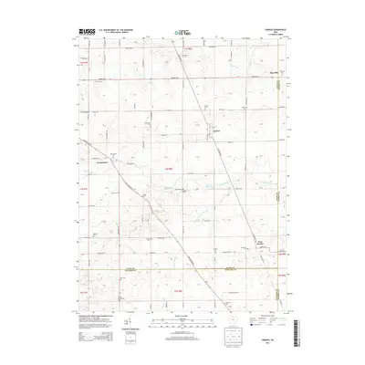
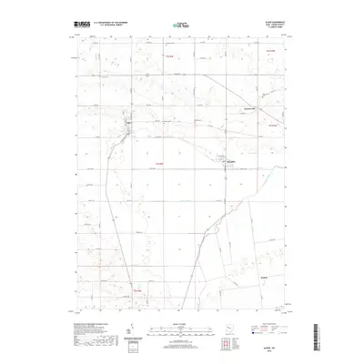
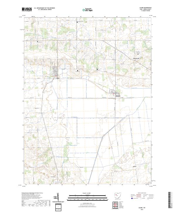 2023 Alger2023 Print · USGSHardin County agriculture and drainage patterns are on full display in this modern survey of the Scioto River headwaters. Trace local family history through several rural burial sites like Preston Cem and Carman Cem, or explore the village layouts of Alger and McGuffey.
 - 2023 Map of Roundhead, 2023 Print
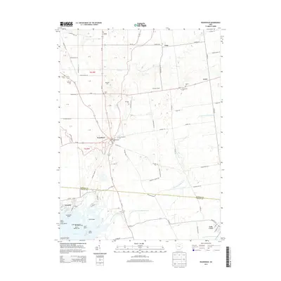
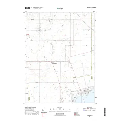
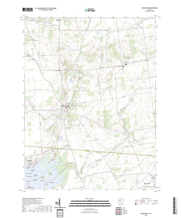 2023 Roundhead2023 Print · USGSHardin and Logan Counties are captured in this modern survey as the agricultural landscape transitions into the wetlands of the Great Miami River. Researchers can locate several burial grounds including Old Roundhead Cem and islands such as Snow Island.
 - 2023 Map of Harrod, 2023 Print
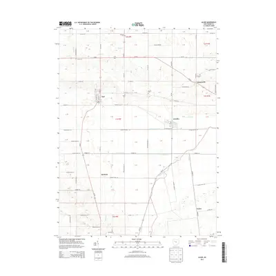
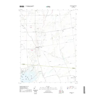
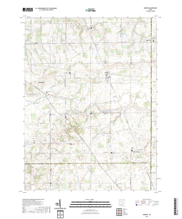 2023 Harrod2023 Print · USGSThis part of Allen and Hardin counties is characterized by its small agricultural hubs and dense network of rural burial sites. Genealogists can trace family names at the Hullibarger Cem, Ridge Cem, and the village of Harrod.
 - 2023 Map of Waynesfield, 2023 Print
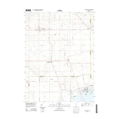
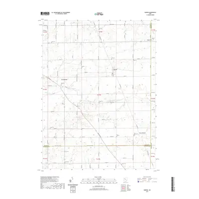
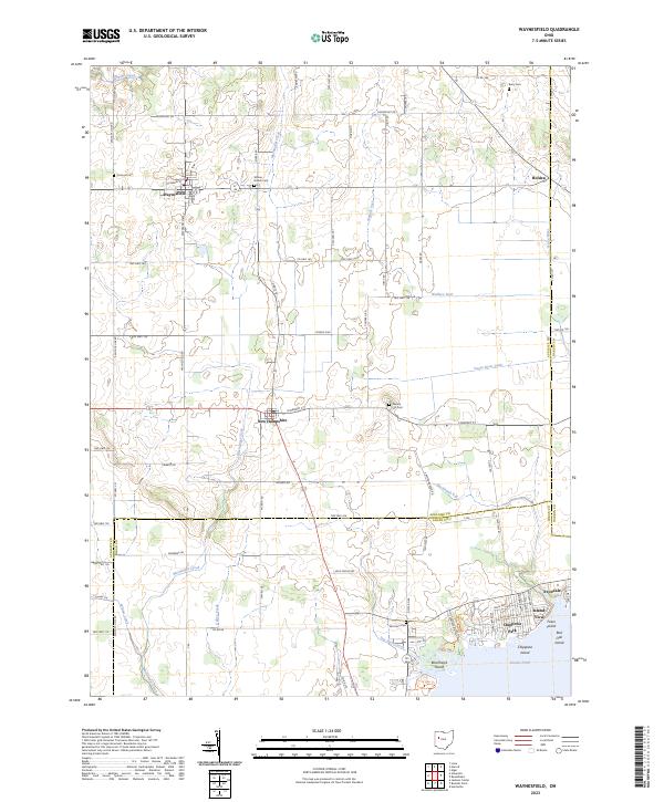 2023 Waynesfield2023 Print · USGSThe rural landscapes of Auglaize and Logan Counties are mapped here in the early twenty-first century, centered on the historic village of Waynesfield. Genealogists and local historians can trace family ties at Walnut Hill Cem or explore the lakeside developments of Island View and Chippewa Park.
End of results
Showing maps 1-20 of 20
Top cities near Roundhead Township
- Bellefontaine historical maps
- Kenton historical maps
- Ada historical maps
- Blanchard historical maps
- Russells Point historical maps
- Jackson Center historical maps
See more
Top neighborhoods of Roundhead Township
Frequently asked questions
- What are the different types of historical maps available for Roundhead Township?
- What is the oldest map of Roundhead Township?
- Where can I purchase historical maps of Roundhead Township for my home or office?
- Where can I download high-res historical maps of Roundhead Township?
- Are there historical topographic maps available for Roundhead Township?
- Is there historical aerial imagery available for Roundhead Township?
- Where are historical maps of Roundhead Township sourced from?