Old Maps of Clay Township, Ohio for Genealogy
Trace your family roots with 15 historic maps of Clay Township. These high-res maps reveal old neighborhoods, homesites, landmarks, and streets — helping you uncover where your ancestors lived and how the area evolved over time.
- Explore historic neighborhoods: Identify where your relatives may have lived in the 1800s or 1900s.
- Compare maps over time: Trace the changes in streets, buildings, and landmarks for multi-generational research.
- Perfect for genealogy & ancestry research: Used by family historians and researchers to map out lineage and migration.
These maps are an incredible resource for exploring your personal connection to Clay Township's past.
Clay Township, OH maps
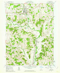
(15)- 1909 Map of Newark, 1937 Print
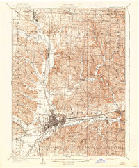 1909 Newark1937 Print · USGSCovers Clay Township, including Newark, Heath, and other nearby areas2 unique versions available
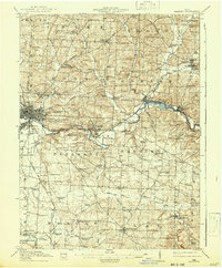
 - 1912 Map of Gambier, 1958 Print
 1912 Gambier1958 Print · USGSCovers Clay Township, including Mount Vernon, Howard, and other nearby areas2 unique versions available
 - 1914 Map of Gambier, 1942 Print
 1914 Gambier1942 Print · USGSCovers Clay Township, including Mount Vernon, Howard, and other nearby areas
 - 1943 Map of Gambier
 1943 Gambier1943 Print · USGSCovers Clay Township, including Mount Vernon, Howard, and other nearby areas
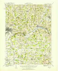
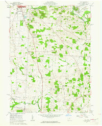
 - 1950 Map of Marion
 1950 Marion1950 Print · USGSCovers Clay Township, including Columbus, Newark, and other nearby areas
 - 1961 Map of Utica, 1962 Print
 1961 Utica1962 Print · USGSCovers Clay Township, including Newark, Utica, and other nearby areas3 unique versions available
 - 1961 Map of Hunt, 1962 Print
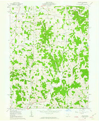
 1961 Hunt1962 Print · USGSCovers Clay Township, including Mount Vernon, Gambier, and other nearby areas4 unique versions available
 - 1961 Map of Hickman, 1963 Print
 1961 Hickman1963 Print · USGSCovers Clay Township, including Rain Rock, Hickman, and other nearby areas4 unique versions available
 - 1961 Map of Martinsburg, 1975 Print
 1961 Martinsburg1975 Print · USGSCovers Clay Township, including Martinsburg, Harrison Township, and other nearby areas3 unique versions available
 - 1962 Map of Marion
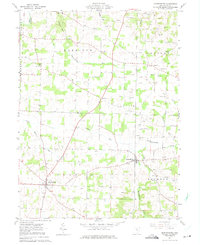
 1962 Marion1962 Print · USGSCovers Clay Township, including Columbus, Newark, and other nearby areas
 - 1966 Map of Marion, 1968 Print
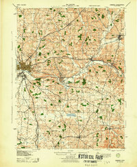
 1966 Marion1968 Print · USGSCovers Clay Township, including Columbus, Newark, and other nearby areas3 unique versions available
 - 2023 Map of Hickman, 2023 Print
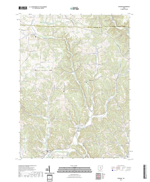 2023 Hickman2023 Print · USGSCovers Clay Township, including Eden Township, Mary Ann Township, and other nearby areas
 - 2023 Map of Martinsburg, 2023 Print
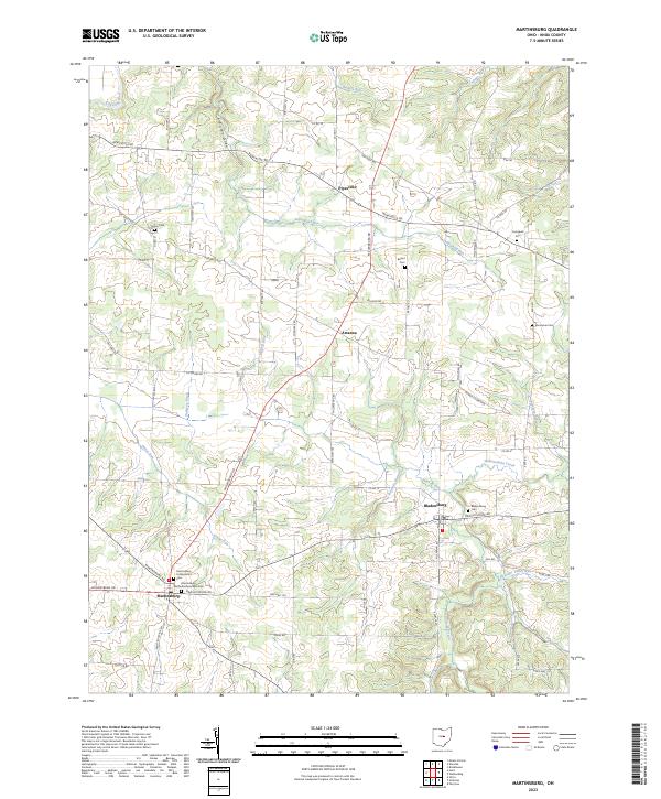 2023 Martinsburg2023 Print · USGSCovers Clay Township, including Martinsburg, Pleasant Township, and other nearby areas
 - 2023 Map of Utica, 2023 Print
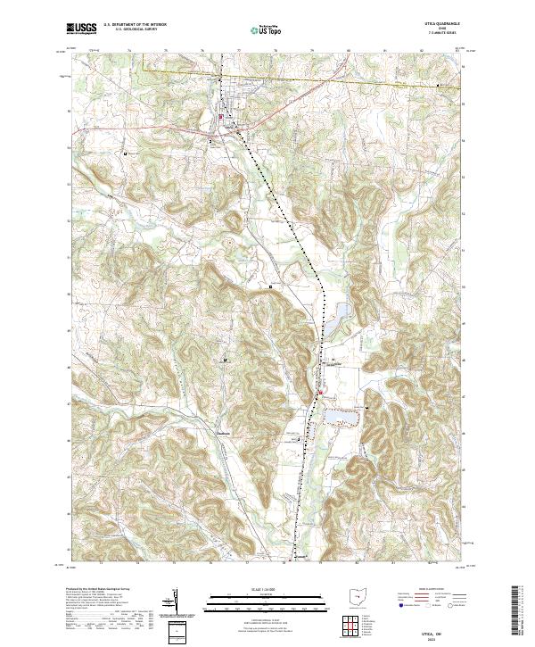 2023 Utica2023 Print · USGSCovers Clay Township, including Newark, Utica, and other nearby areas
 - 2023 Map of Hunt, 2023 Print
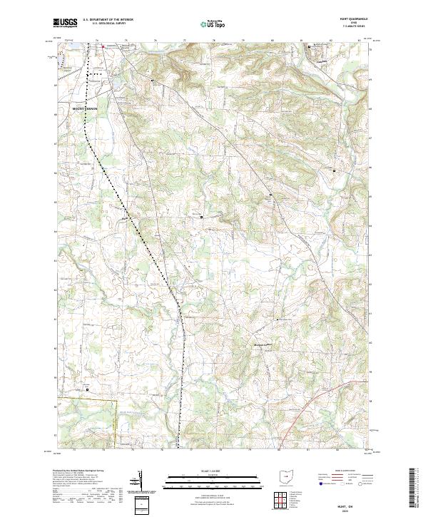 2023 Hunt2023 Print · USGSCovers Clay Township, including Mount Vernon, Gambier, and other nearby areas
End of results
Showing maps 1-15 of 15
Top cities near Clay Township
- Newark historical maps
- Mount Vernon historical maps
- Heath historical maps
- Howard historical maps
- Granville historical maps
- Fredericktown historical maps
See more
Top neighborhoods of Clay Township
Frequently asked questions
- What are the different types of historical maps available for Clay Township?
- What is the oldest map of Clay Township?
- Where can I purchase historical maps of Clay Township for my home or office?
- Where can I download high-res historical maps of Clay Township?
- Are there historical topographic maps available for Clay Township?
- Is there historical aerial imagery available for Clay Township?
- Where are historical maps of Clay Township sourced from?