2020s Maps of Clay Township, Ohio
Explore 4 historic maps of Clay Township from the 2020s. These maps offer a rare glimpse into what life looked like during the 2020s — showing old roads, neighborhoods, homes, and landmarks that have changed or disappeared over time.
Whether you're researching your family's past, planning a metal detecting trip, or studying how Clay Township's landscape evolved across the 2020s, these high-resolution maps are a powerful tool for exploring the history of this region.
- Focus on a specific era: All maps on this page are from the 2020s, giving you a focused view of this time period.
- See what’s changed: Compare century-old streets, trails, and buildings to today's modern landscape using overlays and satellite layers.
- Research with precision: Use these maps for genealogy, historical research, land use analysis, or educational projects.
- View, download, or print: Maps are fully viewable online in high resolution, and can be downloaded or printed for your own records.
Start exploring Clay Township's history through authentic maps from the 2020s. This is your window into the past.
Clay Township, OH maps
(4)- 2023 Map of Hickman, 2023 Print
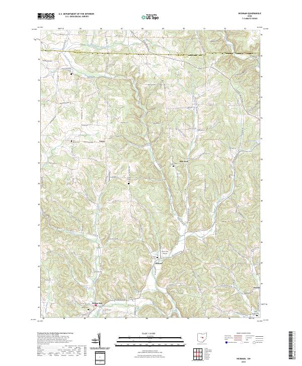 2023 Hickman2023 Print · USGSEastern Licking County appears as a quiet landscape of agricultural valleys and stream-fed hollows in this contemporary survey. Genealogists can trace family names and local history through Miles Chapel Cem, the settlement of Purity, and the rural Smith Chapel Cem.
 - 2023 Map of Martinsburg, 2023 Print
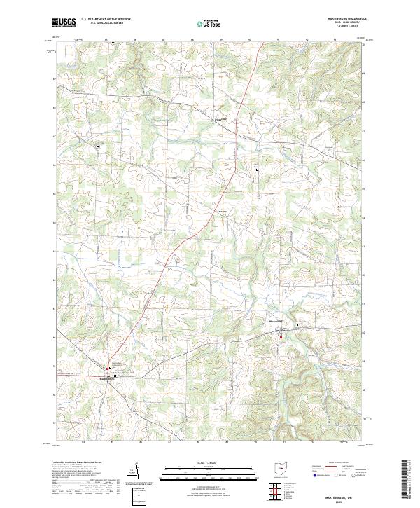 2023 Martinsburg2023 Print · USGSKnox County's rolling hills and creek valleys appear in sharp detail during the early twenty-first century. Genealogists can locate family plots at Grove Cem, Bladensburg Cem, and Campbell Cem, or trace the winding course of Wakatomika Creek.
 - 2023 Map of Utica, 2023 Print
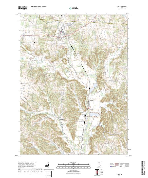 2023 Utica2023 Print · USGSLicking County at the start of the 2020s remains defined by its river forks and tight-knit rural communities. Genealogists and local historians can trace family lines through numerous well-preserved burying grounds like Saint Joseph Cem, Marple Cem, and Evans Cem.
 - 2023 Map of Hunt, 2023 Print
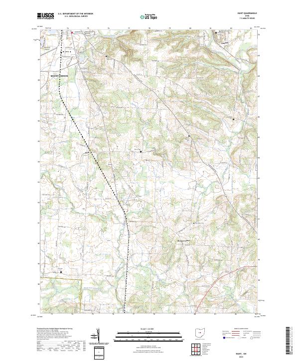 2023 Hunt2023 Print · USGSKnox County’s landscape in the early 2020s shows the convergence of academia and rural township life along the Kokosing River. Genealogists and local historians can trace family locations through numerous sites like Kenyon College, Morgan Center, and Owl Creek Cem.
End of results
Showing maps 1-4 of 4
Top cities near Clay Township
- Newark historical maps
- Mount Vernon historical maps
- Heath historical maps
- Howard historical maps
- Granville historical maps
- Fredericktown historical maps
See more
Top neighborhoods of Clay Township
Frequently asked questions
- What are the different types of historical maps available for Clay Township?
- What is the oldest map of Clay Township?
- Where can I purchase historical maps of Clay Township for my home or office?
- Where can I download high-res historical maps of Clay Township?
- Are there historical topographic maps available for Clay Township?
- Is there historical aerial imagery available for Clay Township?
- Where are historical maps of Clay Township sourced from?