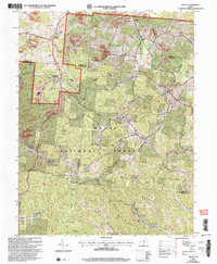
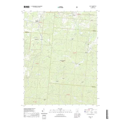
Old Maps of Washington Township, Ohio for Metal Detecting
Plan your next treasure hunt with 18 historic maps of Washington Township. Find old homesites, ghost towns, trails, and gathering spots that may be lost to time — perfect for identifying promising metal detecting locations.
- Locate forgotten sites: Uncover places like long-lost settlements, abandoned rail lines, or gathering spots.
- Plan better hunts: Use map overlays combined with LiDAR or satellite views to narrow in on historically rich areas.
- Made for detectorists: Thousands of hobbyists use these maps to discover relics, coins, and hidden history.
Use these historic maps to boost your research and find new opportunities beneath the surface of Washington Township.
Washington Township, OH maps
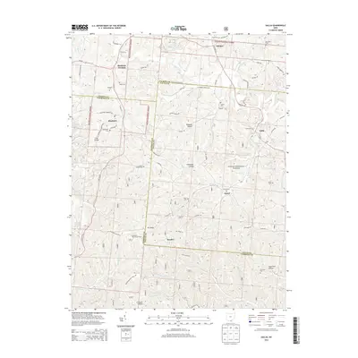
(18)- 1912 Map of Oak Hill, 1935 Print
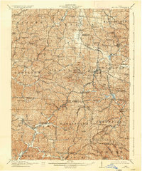 1912 Oak Hill1935 Print · USGSSouthern Ohio's iron-producing hill country is captured here during its industrial peak before the mid-century decline. Genealogists and historians can locate family homesites near landmark sites like Jefferson Furnace, the village of South Webster, and dozens of rural schools including Riegel School.2 unique versions available
 - 1957 Map of Huntington, 1966 Print
 1957 Huntington1966 Print · USGSThe industrial heart of the Ohio River valley is captured here in the mid-sixties, showing the growth of Huntington and Ashland. Researchers can trace the extensive rail networks of the Chesapeake and Ohio RR and locate sites like the Chief Cornstalk Hunting Ground.3 unique versions available
 - 1960 Map of Huntington
 1960 Huntington1960 Print · USGSThe tri-state river valley thrived in the late fifties as a hub of heavy industry and Appalachian rail transit. Genealogists and historians can trace the connection between river towns like Ashland and Portsmouth or locate family homesteads near Coleman Ridge.
 - 1961 Map of South Webster, 1962 Print
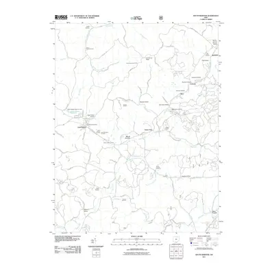
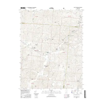
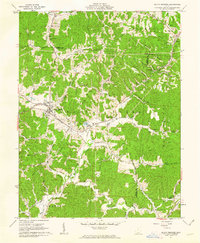 1961 South Webster1962 Print · USGSIn the early 1960s, this pocket of Scioto County remained a landscape of deep hollows and rail-linked industrial hamlets. Researchers can trace the roots of the local clay and iron trades at Olive Furnace, Firebrick, and the Bloom High Sch campus.2 unique versions available
 - 1961 Map of Gallia, 1963 Print
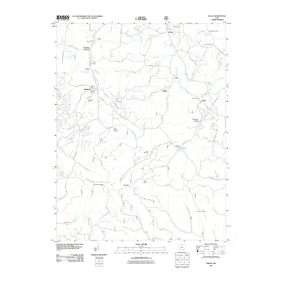
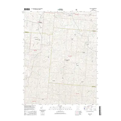
 1961 Gallia1963 Print · USGSThe tri-county borderlands of southern Ohio appear here in the early sixties, caught between active industrial clay mining and the growing preserve of the Wayne National Forest. Researchers can trace old family lines through the Poetker Cemetery, the village of Gallia, and several country churches like Sardis Church.3 unique versions available
 - 1981 Map of Ironton, 1982 Print
 1981 Ironton1982 Print · USGSThe tri-state river valley at the start of the eighties shows a landscape shaped by heavy industry, atomic energy, and sprawling national forests. Researchers can trace the legacy of iron production at Harrison Furnace or follow the historic rail lines of the C & O RR and N & W RR.
 - 2002 Map of South Webster, 2006 Print
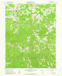
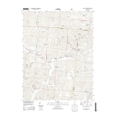
 2002 South Webster2006 Print · USGSSouth Webster and its surrounding mining hills are documented in this 2002 revision. Researchers can trace family history at Bloom Switch Cem or follow the B & O Railroad past old industrial sites like Jackson Furnace and Firebrick.
 - 2002 Map of Gallia, 2006 Print
 2002 Gallia2006 Print · USGSSouthern Ohio's industrial and forest lands are captured here at the turn of the century as the coal and clay heritage meets the growing woods. Genealogists can trace family landmarks like Washington Cem, Jefferson Sch, and the old settlement of Pokepatch.
 - 2011 Map of South Webster, 2011 Print
 2011 South Webster2011 Print · USGSCovers Washington Township, including South Webster, Olive Furnace, and other nearby areas
 - 2011 Map of Gallia, 2011 Print
 2011 Gallia2011 Print · USGSCovers Washington Township, including Greenfield Township, Symmes Township, and other nearby areas
 - 2013 Map of South Webster, 2013 Print
 2013 South Webster2013 Print · USGSCovers Washington Township, including South Webster, Olive Furnace, and other nearby areas
 - 2013 Map of Gallia, 2013 Print
 2013 Gallia2013 Print · USGSCovers Washington Township, including Greenfield Township, Symmes Township, and other nearby areas
 - 2016 Map of South Webster, 2016 Print
 2016 South Webster2016 Print · USGSCovers Washington Township, including South Webster, Olive Furnace, and other nearby areas
 - 2016 Map of Gallia, 2016 Print
 2016 Gallia2016 Print · USGSCovers Washington Township, including Greenfield Township, Symmes Township, and other nearby areas
 - 2019 Map of South Webster, 2019 Print
 2019 South Webster2019 Print · USGSCovers Washington Township, including South Webster, Olive Furnace, and other nearby areas
 - 2019 Map of Gallia, 2019 Print
 2019 Gallia2019 Print · USGSCovers Washington Township, including Greenfield Township, Symmes Township, and other nearby areas
 - 2023 Map of Gallia, 2023 Print
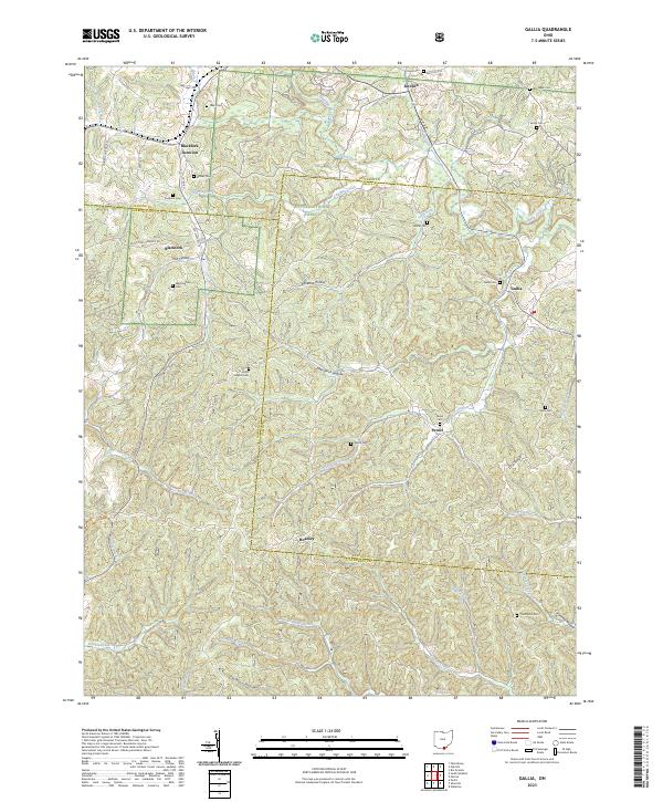 2023 Gallia2023 Print · USGSThe hills where Jackson, Lawrence, and Gallia counties meet remain a landscape of deep hollows and quiet cemeteries. Genealogists can trace family roots at Union Baptist Cem, Sardis Cem, and Thompson Cem, or locate old settlements like Peniel and Hoadley.
 - 2023 Map of South Webster, 2023 Print
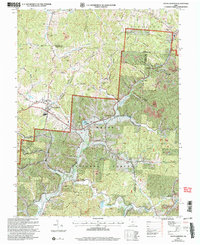
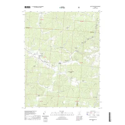
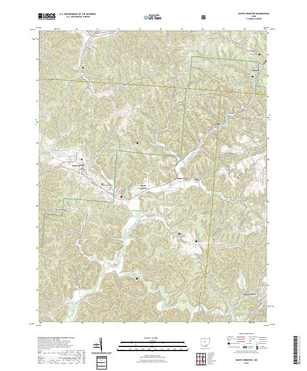 2023 South Webster2023 Print · USGSSouthern Ohio's industrial and forest history is preserved here, centered on the village of South Webster. Genealogists and researchers can trace family landmarks at South Webster Cem and the remnants of the iron era at Olive Furnace.
End of results
Showing maps 1-18 of 18
Top cities near Washington Township
- Jackson historical maps
- Lawrence historical maps
- Oak Hill historical maps
- Greenup historical maps
- Aid historical maps
- Rio Grande historical maps
See more
Top neighborhoods of Washington Township
Frequently asked questions
- What are the different types of historical maps available for Washington Township?
- What is the oldest map of Washington Township?
- Where can I purchase historical maps of Washington Township for my home or office?
- Where can I download high-res historical maps of Washington Township?
- Are there historical topographic maps available for Washington Township?
- Is there historical aerial imagery available for Washington Township?
- Where are historical maps of Washington Township sourced from?