Old Maps of Hartford Township, Ohio for Hiking & Exploration
Hike through history with 36 historic maps of Hartford Township. Explore old trails, ghost towns, and forgotten backroads — perfect for outdoor adventurers and local explorers.
- Rediscover forgotten places: Map out old mining camps, roads, and footpaths that no longer exist on modern maps.
- Layer with modern tools: Combine with LiDAR or satellite views to plan hikes through historical terrain.
- Made for exploration: Popular among hikers, overlanders, and local history lovers.
Use these maps to find adventure and explore the hidden past of Hartford Township.
Hartford Township, OH maps
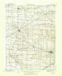
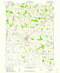
(36)- 1902 Map of Westerville, 1958 Print
 1902 Westerville1958 Print · USGSFranklin and Delaware counties at the turn of the century show a landscape transitioning from rural mill seats to rail-connected suburbs. Genealogists can trace family footprints through historic settlements like Westerville, Gahanna, and the trolley-linked Central College.
 - 1904 Map of Westerville, 1941 Print
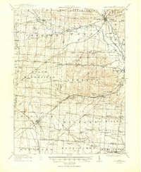
 1904 Westerville1941 Print · USGSCentral Ohio at the turn of the century shows a landscape transitioning from rural crossroads to early suburban rail hubs. Genealogists and local historians can trace the paths of the Columbus and Newark Electric R.R. and locate vanished local points like Africa, Central College, and Unhook.2 unique versions available
 - 1908 Map of Granville, 1959 Print
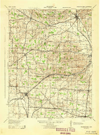
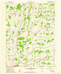
 1908 Granville1959 Print · USGSLicking County at the start of the twentieth century remains a landscape of intimate rural communities and academic ambition. Researchers can trace ancestral farmstead locations near dozens of neighborhood hubs like Johnstown, Alexandria, and Denison University.
 - 1910 Map of Granville, 1944 Print
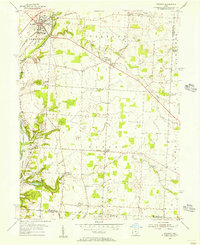
 1910 Granville1944 Print · USGSLicking County at the dawn of the automobile era shows a landscape of tightly-knit farming townships and busy rail corridors. Genealogists can locate family-named landmarks like Hazelton Corners, rural congregations at Wesley Chapel, and numerous local schools such as Wright School.
 - 1915 Map of Marengo, 1946 Print
 1915 Marengo1946 Print · USGSMorrow and Delaware counties are shown in detail during the heyday of the steam railroad and the one-room schoolhouse. Genealogists and historians can locate vanished local landmarks like Swamp Angel School, the County Infirmary, and the Treaty Line.
 - 1915 Map of Fredericktown, 1950 Print
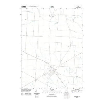
 1915 Fredericktown1950 Print · USGSKnox and Morrow Counties are shown here during the height of the steam-rail era. Genealogists can locate dozens of country schoolhouses like Salem and Updike, alongside family landmarks such as Braddock Mound and the County Infirmary.
 - 1943 Map of Marengo
 1943 Marengo1943 Print · USGSCentral Ohio's agricultural heartland is documented here during the early war years, showing a landscape defined by small-town rail hubs and a dense network of rural schoolhouses. Researchers can trace family history through dozens of named sites like Chestnut Grove Sch, the County Infirmary, and settlements such as Westfield and Fulton.
 - 1943 Map of Fredericktown
 1943 Fredericktown1943 Print · USGSRural Knox County is captured here in the 1940s, showing a landscape of small townships connected by the Baltimore and Ohio RR and local schoolhouse districts. Genealogists can trace family footprints at Woodland Hall Sch, Bethel Ch, and ancient landmarks like Raleigh Mound.
 - 1950 Map of Marion
 1950 Marion1950 Print · USGSCentral Ohio was a powerhouse of rail and river industry at the mid-century point, serving as a vital corridor between the Great Lakes and the Ohio River valley. Genealogists and rail historians can trace the paths of the Erie RR and Nickel Plate Road through towns like Bucyrus, Galion, and Upper Sandusky.
 - 1955 Map of Sunbury, 1956 Print
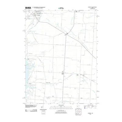
 1955 Sunbury1956 Print · USGSMid-century Delaware County comes into focus as Sunbury and Galena maintain their historic rail connections along the PENNSYLVANIA line. Researchers can trace rural lineages through numerous local sites like Fancher Cem, New Bethel Ch, and the emerging Hoover Reservoir.2 unique versions available
 - 1961 Map of Centerburg, 1962 Print
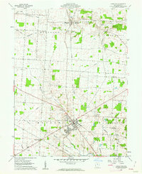
 1961 Centerburg1962 Print · USGSKnox County is captured at the start of the 1960s, centered on the strategic rail junction at Centerburg. Genealogists and local historians can trace family plots at Houck Cem and Moreland Cem or locate old community landmarks like Milford Ch and Rich Hill.3 unique versions available
 - 1961 Map of Olive Green, 1962 Print
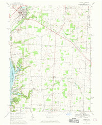
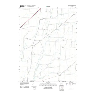
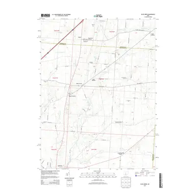
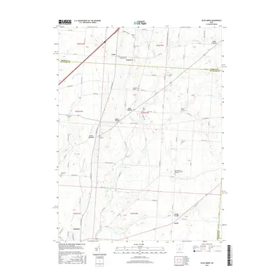
 1961 Olive Green1962 Print · USGSCentral Ohio farm country comes to life in the early 1960s, showing a landscape of small crossroads and creek-side settlements. Researchers can trace the path of the Pennsylvania railroad or locate rural landmarks like the Covered Bridge and Pagetown Cem.3 unique versions available
 - 1961 Map of Johnstown, 1962 Print
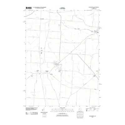
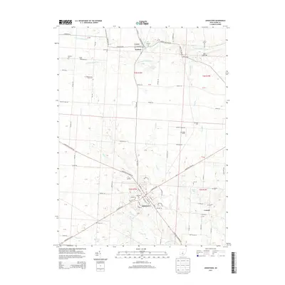
 1961 Johnstown1962 Print · USGSCentral Ohio’s agricultural heartland is captured here in the early sixties, centered on the village of Johnstown. Researchers can trace old family roots through sites like Green Hill Cemetery, Twelve Corners Cem, and the rail corridor of the New York Central.4 unique versions available
 - 1962 Map of Marion
 1962 Marion1962 Print · USGSCentral Ohio during the post-war era showcases a dense network of railroad towns and emerging interstate highways. Genealogists can trace family roots in smaller settlements like Houcktown and Marseilles or locate landmarks near Indian Lake.
 - 1966 Map of Marion, 1968 Print
 1966 Marion1968 Print · USGSCentral Ohio in the mid-sixties is captured during a period of rapid highway expansion and industrial connectivity. Genealogists and historians can trace rail-and-river networks through towns like Marion, Urbana, and Mount Vernon, or locate landmarks such as Malabar Farm and Black Hand Rock.3 unique versions available
 - 1967 Map of Sunbury, 1969 Print
 1967 Sunbury1969 Print · USGSDelaware County's rural character meets the growing reach of the capital's parklands in the late sixties. Genealogists and local historians can trace family roots through several landmarks, including Vans Valley Cem, New Bethel Ch, and the settlement at Center Village.3 unique versions available
 - 2010 Map of Johnstown, 2010 Print
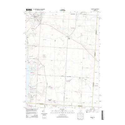
 2010 Johnstown2010 Print · USGSCovers Hartford Township, including Johnstown, Croton, and other nearby areas
 - 2010 Map of Olive Green, 2010 Print
 2010 Olive Green2010 Print · USGSCovers Hartford Township, including Sunbury, Peru Township, and other nearby areas
 - 2010 Map of Centerburg, 2010 Print
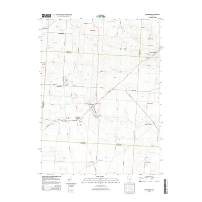
 2010 Centerburg2010 Print · USGSCovers Hartford Township, including Centerburg, Bennington Township, and other nearby areas
 - 2010 Map of Sunbury, 2010 Print
 2010 Sunbury2010 Print · USGSCovers Hartford Township, including Harlem, Sunbury, and other nearby areas
 - 2013 Map of Sunbury, 2013 Print
 2013 Sunbury2013 Print · USGSCovers Hartford Township, including Harlem, Sunbury, and other nearby areas
 - 2013 Map of Centerburg, 2013 Print
 2013 Centerburg2013 Print · USGSCovers Hartford Township, including Centerburg, Bennington Township, and other nearby areas
 - 2013 Map of Olive Green, 2013 Print
 2013 Olive Green2013 Print · USGSCovers Hartford Township, including Sunbury, Peru Township, and other nearby areas
 - 2013 Map of Johnstown, 2013 Print
 2013 Johnstown2013 Print · USGSCovers Hartford Township, including Johnstown, Croton, and other nearby areas
 - 2016 Map of Olive Green, 2016 Print
 2016 Olive Green2016 Print · USGSCovers Hartford Township, including Sunbury, Peru Township, and other nearby areas
Showing maps 1-25 of 36
Top cities near Hartford Township
- Columbus historical maps
- Newark historical maps
- Westerville historical maps
- Gahanna historical maps
- Mount Vernon historical maps
- Pataskala historical maps
See more
Top neighborhoods of Hartford Township
Frequently asked questions
- What are the different types of historical maps available for Hartford Township?
- What is the oldest map of Hartford Township?
- Where can I purchase historical maps of Hartford Township for my home or office?
- Where can I download high-res historical maps of Hartford Township?
- Are there historical topographic maps available for Hartford Township?
- Is there historical aerial imagery available for Hartford Township?
- Where are historical maps of Hartford Township sourced from?