Old Maps of Liberty Township, Ohio for Metal Detecting
Plan your next treasure hunt with 29 historic maps of Liberty Township. Find old homesites, ghost towns, trails, and gathering spots that may be lost to time — perfect for identifying promising metal detecting locations.
- Locate forgotten sites: Uncover places like long-lost settlements, abandoned rail lines, or gathering spots.
- Plan better hunts: Use map overlays combined with LiDAR or satellite views to narrow in on historically rich areas.
- Made for detectorists: Thousands of hobbyists use these maps to discover relics, coins, and hidden history.
Use these historic maps to boost your research and find new opportunities beneath the surface of Liberty Township.
Liberty Township, OH maps
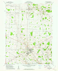
(29)- 1908 Map of Granville, 1959 Print
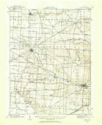 1908 Granville1959 Print · USGSLicking County at the start of the twentieth century remains a landscape of intimate rural communities and academic ambition. Researchers can trace ancestral farmstead locations near dozens of neighborhood hubs like Johnstown, Alexandria, and Denison University.
 - 1910 Map of Granville, 1944 Print
 1910 Granville1944 Print · USGSLicking County at the dawn of the automobile era shows a landscape of tightly-knit farming townships and busy rail corridors. Genealogists can locate family-named landmarks like Hazelton Corners, rural congregations at Wesley Chapel, and numerous local schools such as Wright School.
 - 1950 Map of Marion
 1950 Marion1950 Print · USGSCentral Ohio was a powerhouse of rail and river industry at the mid-century point, serving as a vital corridor between the Great Lakes and the Ohio River valley. Genealogists and rail historians can trace the paths of the Erie RR and Nickel Plate Road through towns like Bucyrus, Galion, and Upper Sandusky.
 - 1961 Map of Fredonia, 1962 Print
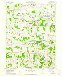 1961 Fredonia1962 Print · USGSCentral Ohio farm country comes into focus in the early sixties, showing a landscape defined by crossroads hamlets and river forks. Genealogists can trace family names at Appleton Cem, McKean Sch, and settlements like Highwater.4 unique versions available
 - 1961 Map of Granville, 1962 Print
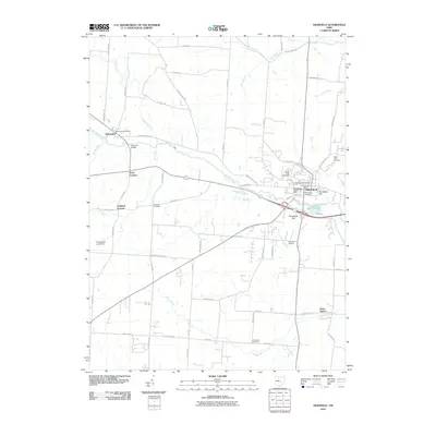
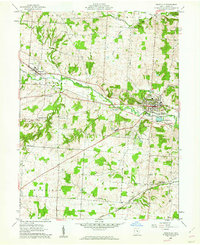 1961 Granville1962 Print · USGSLicking County at the start of the sixties reveals a landscape of collegiate life and rail-side settlements. Trace family history at Harrison Ch, explore the grounds of Denison Univ, or locate old homesteads near Union Station.3 unique versions available
 - 1961 Map of Jersey, 1962 Print
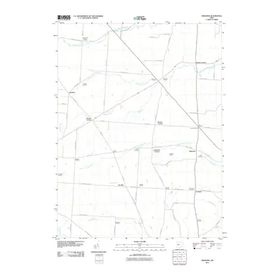
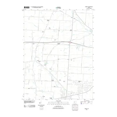
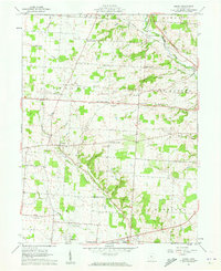 1961 Jersey1962 Print · USGSLicking County crossroads and rural hamlets are captured here in the early sixties as local farming communities maintained their traditional layout. Genealogists can locate family-named sites like Hazelton Corners and numerous small burial grounds including Swisher Cem and Moreland Cem.3 unique versions available
 - 1961 Map of Johnstown, 1962 Print
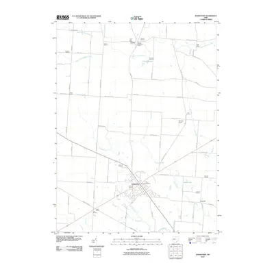
 1961 Johnstown1962 Print · USGSCentral Ohio’s agricultural heartland is captured here in the early sixties, centered on the village of Johnstown. Researchers can trace old family roots through sites like Green Hill Cemetery, Twelve Corners Cem, and the rail corridor of the New York Central.4 unique versions available
 - 1962 Map of Marion
 1962 Marion1962 Print · USGSCentral Ohio during the post-war era showcases a dense network of railroad towns and emerging interstate highways. Genealogists can trace family roots in smaller settlements like Houcktown and Marseilles or locate landmarks near Indian Lake.
 - 1966 Map of Marion, 1968 Print
 1966 Marion1968 Print · USGSCentral Ohio in the mid-sixties is captured during a period of rapid highway expansion and industrial connectivity. Genealogists and historians can trace rail-and-river networks through towns like Marion, Urbana, and Mount Vernon, or locate landmarks such as Malabar Farm and Black Hand Rock.3 unique versions available
 - 2010 Map of Johnstown, 2010 Print
 2010 Johnstown2010 Print · USGSCovers Liberty Township, including Johnstown, Croton, and other nearby areas
 - 2010 Map of Granville, 2010 Print
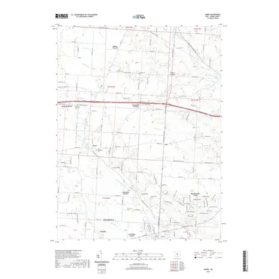
 2010 Granville2010 Print · USGSCovers Liberty Township, including Heath, Granville, and other nearby areas
 - 2010 Map of Fredonia, 2010 Print
 2010 Fredonia2010 Print · USGSCovers Liberty Township, including Highwater, Cokesbury Corners, and other nearby areas
 - 2010 Map of Jersey, 2010 Print
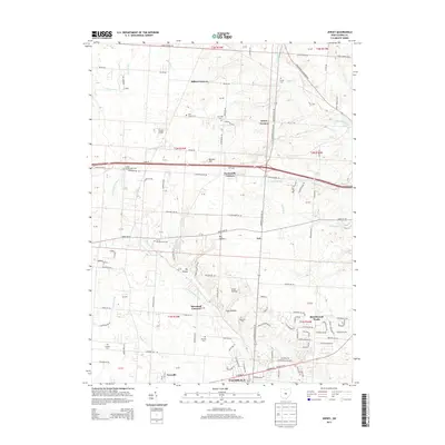
 2010 Jersey2010 Print · USGSCovers Liberty Township, including Pataskala, New Albany, and other nearby areas
 - 2013 Map of Jersey, 2013 Print
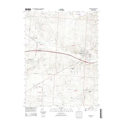
 2013 Jersey2013 Print · USGSCovers Liberty Township, including Pataskala, New Albany, and other nearby areas
 - 2013 Map of Granville, 2013 Print
 2013 Granville2013 Print · USGSCovers Liberty Township, including Heath, Granville, and other nearby areas
 - 2013 Map of Fredonia, 2013 Print
 2013 Fredonia2013 Print · USGSCovers Liberty Township, including Highwater, Cokesbury Corners, and other nearby areas
 - 2013 Map of Johnstown, 2013 Print
 2013 Johnstown2013 Print · USGSCovers Liberty Township, including Johnstown, Croton, and other nearby areas
 - 2016 Map of Granville, 2016 Print
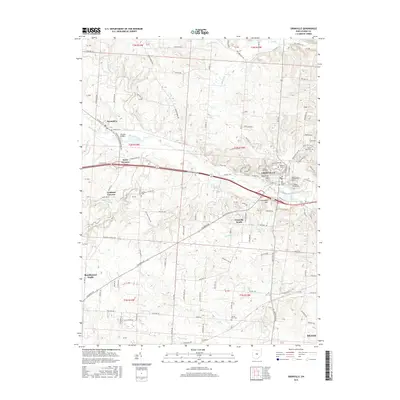 2016 Granville2016 Print · USGSCovers Liberty Township, including Heath, Granville, and other nearby areas
 - 2016 Map of Jersey, 2016 Print
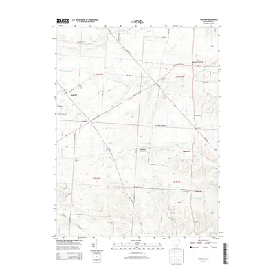
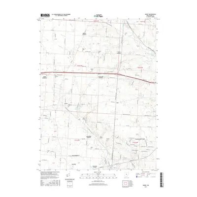 2016 Jersey2016 Print · USGSCovers Liberty Township, including Pataskala, New Albany, and other nearby areas
 - 2016 Map of Fredonia, 2016 Print
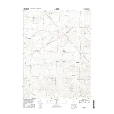 2016 Fredonia2016 Print · USGSCovers Liberty Township, including Highwater, Cokesbury Corners, and other nearby areas
 - 2016 Map of Johnstown, 2016 Print
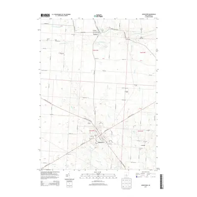
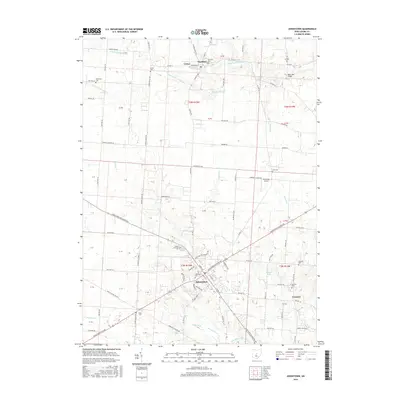 2016 Johnstown2016 Print · USGSCovers Liberty Township, including Johnstown, Croton, and other nearby areas
 - 2019 Map of Johnstown, 2019 Print
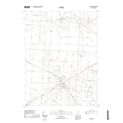 2019 Johnstown2019 Print · USGSCovers Liberty Township, including Johnstown, Croton, and other nearby areas
 - 2019 Map of Jersey, 2019 Print
 2019 Jersey2019 Print · USGSCovers Liberty Township, including Pataskala, New Albany, and other nearby areas
 - 2019 Map of Fredonia, 2019 Print
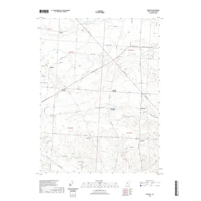 2019 Fredonia2019 Print · USGSCovers Liberty Township, including Highwater, Cokesbury Corners, and other nearby areas
 - 2019 Map of Granville, 2019 Print
 2019 Granville2019 Print · USGSCovers Liberty Township, including Heath, Granville, and other nearby areas
Showing maps 1-25 of 29
Top cities near Liberty Township
- Columbus historical maps
- Newark historical maps
- Reynoldsburg historical maps
- Gahanna historical maps
- Pickerington historical maps
- Mount Vernon historical maps
See more
Top neighborhoods of Liberty Township
Frequently asked questions
- What are the different types of historical maps available for Liberty Township?
- What is the oldest map of Liberty Township?
- Where can I purchase historical maps of Liberty Township for my home or office?
- Where can I download high-res historical maps of Liberty Township?
- Are there historical topographic maps available for Liberty Township?
- Is there historical aerial imagery available for Liberty Township?
- Where are historical maps of Liberty Township sourced from?