Old Maps of Avon Point, Avon Lake for Hiking & Exploration
Hike through history with 8 historic maps of Avon Point. Explore old trails, ghost towns, and forgotten backroads — perfect for outdoor adventurers and local explorers.
- Rediscover forgotten places: Map out old mining camps, roads, and footpaths that no longer exist on modern maps.
- Layer with modern tools: Combine with LiDAR or satellite views to plan hikes through historical terrain.
- Made for exploration: Popular among hikers, overlanders, and local history lovers.
Use these maps to find adventure and explore the hidden past of Avon Point.
Avon Point, Avon Lake maps
(8)- 1956 Map of Toledo, 1968 Print
 1956 Toledo1968 Print · USGSNorthwest Ohio and the Lake Erie shoreline are shown in detail during the late fifties, showcasing a landscape of heavy industry, railroads, and island communities. Genealogists and historians can trace rail networks like the Chesapeake & Ohio RR or locate landmarks such as the Erie Proving Ground and Kelleys Island.4 unique versions available
 - 1961 Map of Toledo
 1961 Toledo1961 Print · USGSThe western basin of Lake Erie and the industrial heart of Northern Ohio are captured here during the post-war era. Researchers can trace historical rail lines like the New York Central or locate landmarks like the Erie Ordnance Depot and Pelee Island.
 - 1986 Map of Put-In-Bay
 1986 Put-In-Bay1986 Print · USGSThe Lake Erie archipelago and Ohio shoreline are documented here in the mid-eighties, showing the region's unique maritime and rail connectivity. Trace island life and landmarks like the Marblehead Lighthouse, Put-in-Bay, and Kelleys Island.2 unique versions available
 - 2010 Map of Avon OE N, 2010 Print
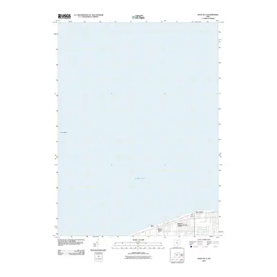 2010 Avon OE N2010 Print · USGSCovers Avon Point, including Avon Lake, Sheffield Lake, and other nearby areas
 - 2013 Map of Avon OE N, 2013 Print
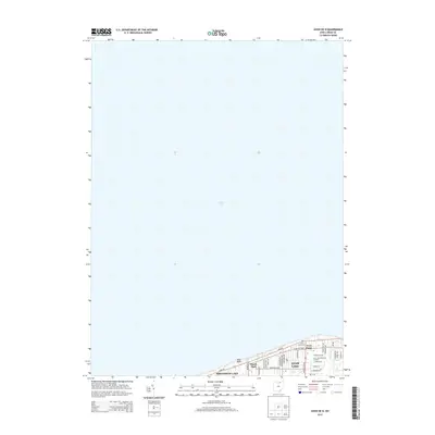 2013 Avon OE N2013 Print · USGSCovers Avon Point, including Avon Lake, Sheffield Lake, and other nearby areas
 - 2016 Map of Avon OE N, 2016 Print
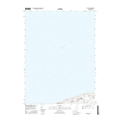 2016 Avon OE N2016 Print · USGSCovers Avon Point, including Avon Lake, Sheffield Lake, and other nearby areas
 - 2019 Map of Avon OE N, 2019 Print
 2019 Avon OE N2019 Print · USGSCovers Avon Point, including Avon Lake, Sheffield Lake, and other nearby areas
 - 2023 Map of Avon OE N, 2023 Print
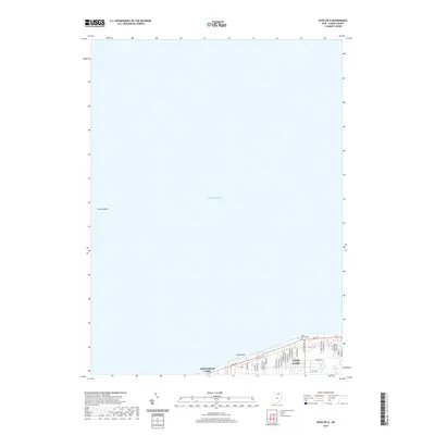
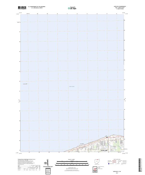 2023 Avon OE N2023 Print · USGSThe Lake Erie shoreline in Lorain County is captured here in the early twenty-first century, showing the developed lakefront and underwater basins. Trace local lineage at the Lake Shore Cem or follow the suburban growth along Avon Belden Rd and Electric Blvd.
End of results
Showing maps 1-8 of 8
Top cities near Avon Point
- Cleveland historical maps
- Lorain historical maps
- Elyria historical maps
- Lakewood historical maps
- Strongsville historical maps
- North Ridgeville historical maps
See more
Frequently asked questions
- What are the different types of historical maps available for Avon Point?
- What is the oldest map of Avon Point?
- Where can I purchase historical maps of Avon Point for my home or office?
- Where can I download high-res historical maps of Avon Point?
- Are there historical topographic maps available for Avon Point?
- Is there historical aerial imagery available for Avon Point?
- Where are historical maps of Avon Point sourced from?