Old Maps of Reserve at Winfield Farms, Ohio for Hiking & Exploration
Hike through history with 12 historic maps of Reserve at Winfield Farms. Explore old trails, ghost towns, and forgotten backroads — perfect for outdoor adventurers and local explorers.
- Rediscover forgotten places: Map out old mining camps, roads, and footpaths that no longer exist on modern maps.
- Layer with modern tools: Combine with LiDAR or satellite views to plan hikes through historical terrain.
- Made for exploration: Popular among hikers, overlanders, and local history lovers.
Use these maps to find adventure and explore the hidden past of Reserve at Winfield Farms.
Reserve at Winfield Farms, OH maps
(12)- 1901 Map of Oberlin, 1952 Print
 1901 Oberlin1952 Print · USGSLorain County at the turn of the century shows a bustling corridor of electric interurbans and industrial sandstone quarries. Researchers can trace early railroad junctions at Elyria and Grafton, or locate lakeside settlements like Beach Park and Lake Breeze.3 unique versions available
 - 1903 Map of Oberlin, 1943 Print
 1903 Oberlin1943 Print · USGSLorain County at the turn of the century is a hub of industrial growth and rail transit between the Lake Erie shore and the interior. Trace the complex web of electric lines and steam railroads connecting Lorain, Elyria, and Oberlin, or locate old stone Quarry sites near North Amherst and Grafton.
 - 1953 Map of Grafton, 1955 Print
 1953 Grafton1955 Print · USGSMid-century Lorain County reveals a landscape shaped by glacial ridges and the growing suburbs of Elyria. Genealogists can locate family sites near Butternut Ridge Cem or trace rural landmarks like the Grafton State Farm and the WEOL Radio Towers.
 - 1956 Map of Toledo, 1968 Print
 1956 Toledo1968 Print · USGSNorthwest Ohio and the Lake Erie shoreline are shown in detail during the late fifties, showcasing a landscape of heavy industry, railroads, and island communities. Genealogists and historians can trace rail networks like the Chesapeake & Ohio RR or locate landmarks such as the Erie Proving Ground and Kelleys Island.4 unique versions available
 - 1961 Map of Toledo
 1961 Toledo1961 Print · USGSThe western basin of Lake Erie and the industrial heart of Northern Ohio are captured here during the post-war era. Researchers can trace historical rail lines like the New York Central or locate landmarks like the Erie Ordnance Depot and Pelee Island.
 - 1963 Map of Grafton, 1964 Print
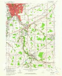 1963 Grafton1964 Print · USGSLorain County shows a blend of industrial growth and rural character in the early sixties as suburban neighborhoods began to expand. Genealogists can locate family sites near Ridgelawn Cem or trace the early development of Brentwood Lake and Eaton Estates.4 unique versions available
 - 1986 Map of Lorain
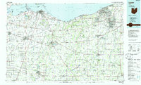 1986 Lorain1986 Print · USGSThe Lake Erie shoreline and North Central Ohio interior are shown in detail during the mid-eighties, from the industrial docks of Lorain to the peninsulas of Sandusky. Researchers can trace historic transport routes like the Baltimore and Ohio Railroad or locate significant landmarks like Oberlin College and Cedar Point.2 unique versions available
 - 2010 Map of Grafton, 2010 Print
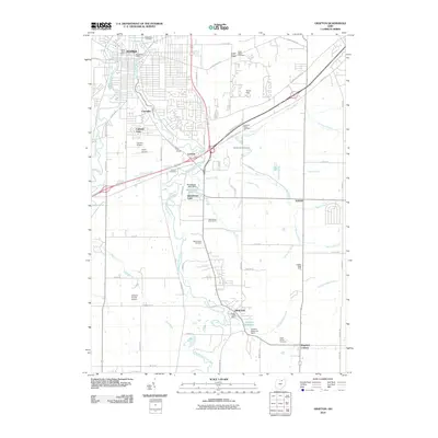 2010 Grafton2010 Print · USGSLorain County settlements and small-town neighborhoods thrive along the East Branch Black River during the early 2000s. Researchers can trace family history through several local burial grounds like La Porte Cemetery or locate landmarks such as the Grafton State Farm.
 - 2013 Map of Grafton, 2013 Print
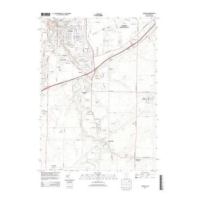 2013 Grafton2013 Print · USGSLorain County settlements and valley drainage systems appear in detail during this early twenty-first-century survey. Genealogists and local researchers can trace family plots at La Porte Cem or Saint Marys Cem and locate landmarks like the Grafton State Farm.
 - 2016 Map of Grafton, 2016 Print
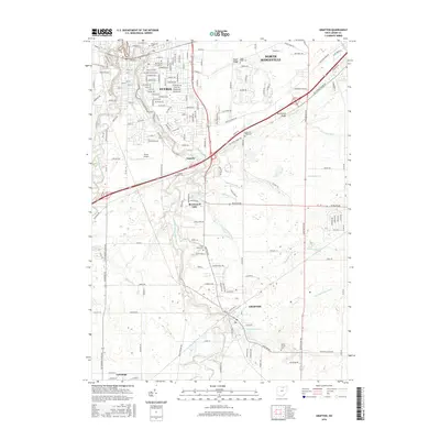 2016 Grafton2016 Print · USGSLorain County near the mid-2010s shows the suburban expansion and rural roots of Elyria and Grafton. Researchers can trace local heritage through numerous burial sites like Saint Marys Cem or explore the drainage of Fortune Ditch.
 - 2019 Map of Grafton, 2019 Print
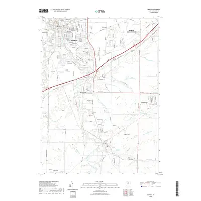 2019 Grafton2019 Print · USGSThe Lorain County suburbs and river valleys south of Elyria are captured here in the late twenty-teens. Researchers can trace local burial sites like Saint Marys Cem and follow the branching paths of the East Branch Black River through Grafton.
 - 2023 Map of Grafton, 2023 Print
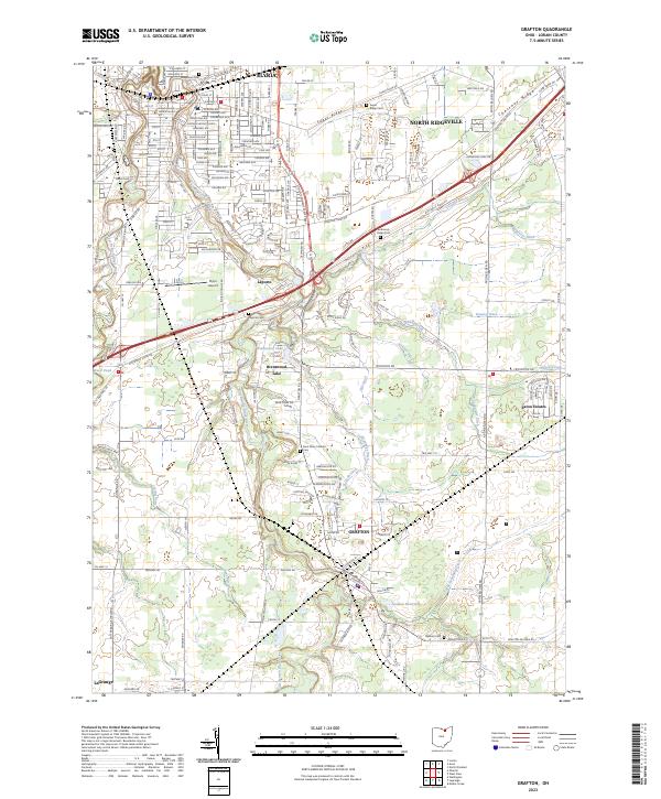 2023 Grafton2023 Print · USGSLorain County’s glacial ridges and river branches define the landscape between Elyria and Grafton in the early twenty-first century. Researchers can trace family sites at Laporte Cem, locate Saint Mary Catholic, and follow the West Branch Black River.
End of results
Showing maps 1-12 of 12
Frequently asked questions
- What are the different types of historical maps available for Reserve at Winfield Farms?
- What is the oldest map of Reserve at Winfield Farms?
- Where can I purchase historical maps of Reserve at Winfield Farms for my home or office?
- Where can I download high-res historical maps of Reserve at Winfield Farms?
- Are there historical topographic maps available for Reserve at Winfield Farms?
- Is there historical aerial imagery available for Reserve at Winfield Farms?
- Where are historical maps of Reserve at Winfield Farms sourced from?