Old Maps of Beloit, Ohio for Hiking & Exploration
Hike through history with 24 historic maps of Beloit. Explore old trails, ghost towns, and forgotten backroads — perfect for outdoor adventurers and local explorers.
- Rediscover forgotten places: Map out old mining camps, roads, and footpaths that no longer exist on modern maps.
- Layer with modern tools: Combine with LiDAR or satellite views to plan hikes through historical terrain.
- Made for exploration: Popular among hikers, overlanders, and local history lovers.
Use these maps to find adventure and explore the hidden past of Beloit.
Beloit, OH maps
(24)- 1909 Map of Alliance
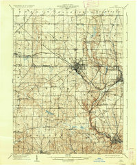
 1909 Alliance1909 Print · USGSAlliance and its surrounding industrial townships are captured in detail just after the turn of the century as the rail network reached its peak. Genealogists can trace family roots through numerous rural schools like Linden Hall School and vanished stations such as Freeburg Sta.4 unique versions available
 - 1909 Map of Lisbon, 1937 Print
 1909 Lisbon1937 Print · USGSColumbiana and Mahoning Counties flourished at the intersection of rail and agriculture in the early 1900s. Genealogists can trace family roots through numerous small hamlets and local landmarks like Franklin Square, St Jacobs Church, and New Garden.2 unique versions available
 - 1951 Map of Canton
 1951 Canton1951 Print · USGSThe industrial heartland of Ohio and Pennsylvania reached its mid-century peak during this era of heavy rail and river transit. Genealogists and historians can trace the development of steel towns like Aliquippa and Weirton alongside the Ohio River and major lines of the Pennsylvania RR.
 - 1952 Map of Alliance, 1954 Print
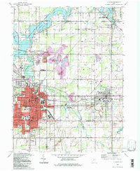
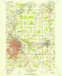 1952 Alliance1954 Print · USGSAlliance and its surrounding industrial townships are captured in the early fifties, showcasing a dense rail and school network. Genealogists can trace family names through several burial sites like Old German Cem and Hartzell Cem, or locate historic homes near Mt Union College.3 unique versions available
 - 1952 Map of Damascus, 1954 Print
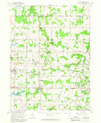
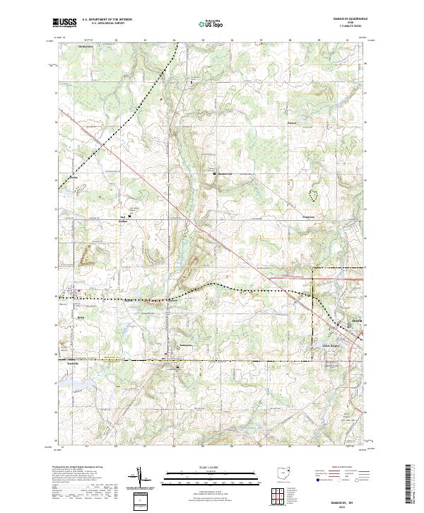
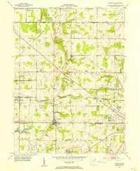 1952 Damascus1954 Print · USGSThe Mahoning and Columbiana county line comes alive in the early fifties, showing the rail-centered growth of Beloit and Damascus. Genealogists can locate family landmarks like the Damascus Cemetery, Township School, and the Wilbur Church at a time when steam and diesel still shared the rails.
 - 1953 Map of Canton
 1953 Canton1953 Print · USGSThe industrial heartland of Ohio and Pennsylvania is captured at its mid-century peak in this detailed regional survey. Genealogists and historians can trace the vast rail networks of the Pennsylvania RR and find local landmarks like Nimisila Reservoir and Tappan Reservoir.
 - 1957 Map of Canton, 1971 Print
 1957 Canton1971 Print · USGSThe industrial heartland of eastern Ohio and western Pennsylvania comes alive in this mid-century survey of the Ohio River Valley. Trace the heritage of rail and river commerce through Pittsburgh, the massive steel towns along the Ohio River, and major junctions on the Pennsylvania RR.3 unique versions available
 - 1962 Map of Canton
 1962 Canton1962 Print · USGSThe industrial heartland of Eastern Ohio and Western Pennsylvania thrives in the early sixties as steel mills and rail lines dominate the river valleys. Genealogists and historians can trace local landmarks like McKinley National Memorial, Malone College, and industrial sites such as Republic Steel Corp.2 unique versions available
 - 1966 Map of Alliance, 1968 Print
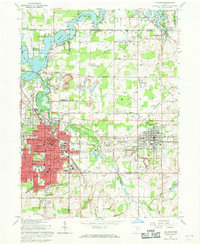 1966 Alliance1968 Print · USGSAlliance and its surrounding townships thrive in the mid-1960s as a vital rail and academic center. Researchers can trace the development of Mt Union College, identify family names at Hartzell Cem, or locate industry at the Strip Mines.3 unique versions available
 - 1966 Map of Damascus, 1968 Print
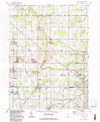
 1966 Damascus1968 Print · USGSNear the Mahoning and Columbiana county line in the mid-1960s, this area preserves the historic boundary of the Connecticut Western Reserve. Genealogists and researchers can trace the rail corridors of the Pennsylvania railroad and locate rural landmarks like Beech Ridge Church and Snodes.2 unique versions available
 - 1986 Map of Canton
 1986 Canton1986 Print · USGSNortheastern Ohio’s industrial corridor and rural heartland are captured here in the mid-1980s as the region's rail and highway networks reached their modern form. Researchers can trace the layout of Canton and Massillon, locate family sites near West Lawn Cemetery, or explore the grounds of Malone College and Walsh College.2 unique versions available
 - 1986 Map of East Liverpool
 1986 East Liverpool1986 Print · USGSThe tri-state border region in the 1980s reveals a landscape shaped by the Ohio River and a massive rail network. Researchers can trace the industrial footprint of East Liverpool and Midland or locate inland landmarks like Pine Lake and Strip Mines.2 unique versions available
 - 1994 Map of Alliance, 1997 Print
 1994 Alliance1997 Print · USGSThe Mahoning Valley industrial corridor and the campus of Mt Union College are captured here in the 1990s. Trace local history through family-named cemeteries like Hartzell Cem and old rail stops at North Benton Sta.
 - 1994 Map of Damascus, 1997 Print
 1994 Damascus1997 Print · USGSThe Mahoning and Columbiana county line in the mid-1990s remained a landscape of rural crossroads and historic school districts. Researchers can locate family landmarks like Wilbur Ch, the 3 Tracks rail line, and established settlements such as Damascus and Beloit.
 - 2010 Map of Damascus, 2010 Print
 2010 Damascus2010 Print · USGSCovers Beloit, including Salem, East Goshen, and other nearby areas
 - 2010 Map of Alliance, 2010 Print
 2010 Alliance2010 Print · USGSCovers Beloit, including Alliance, Lexington, and other nearby areas
 - 2013 Map of Damascus, 2013 Print
 2013 Damascus2013 Print · USGSCovers Beloit, including Salem, East Goshen, and other nearby areas
 - 2013 Map of Alliance, 2013 Print
 2013 Alliance2013 Print · USGSCovers Beloit, including Alliance, Lexington, and other nearby areas
 - 2016 Map of Damascus, 2016 Print
 2016 Damascus2016 Print · USGSCovers Beloit, including Salem, East Goshen, and other nearby areas
 - 2016 Map of Alliance, 2016 Print
 2016 Alliance2016 Print · USGSCovers Beloit, including Alliance, Lexington, and other nearby areas
 - 2019 Map of Damascus, 2019 Print
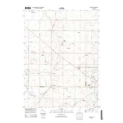
 2019 Damascus2019 Print · USGSCovers Beloit, including Salem, East Goshen, and other nearby areas
 - 2019 Map of Alliance, 2019 Print
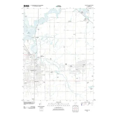
 2019 Alliance2019 Print · USGSCovers Beloit, including Alliance, Lexington, and other nearby areas
 - 2023 Map of Damascus, 2023 Print
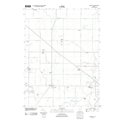
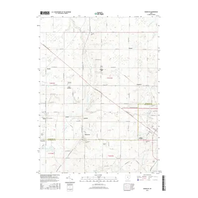
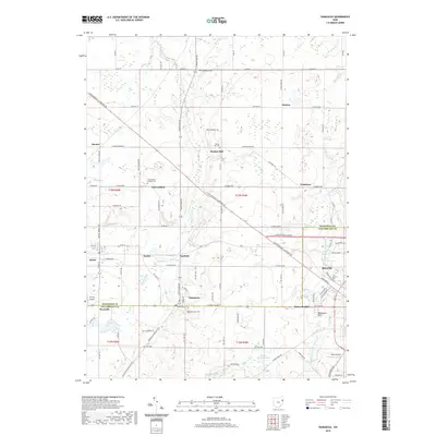
 2023 Damascus2023 Print · USGSThe Mahoning and Columbiana county border in 2023 shows a landscape of small crossroads communities and historic cemeteries. Researchers can trace local lineages through Damascus Cem and Bunker Hill Cem or locate small airfields like Tri-City Airport.
 - 2023 Map of Alliance, 2023 Print
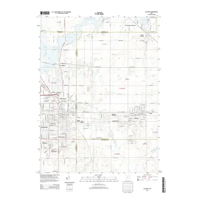
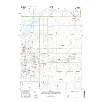
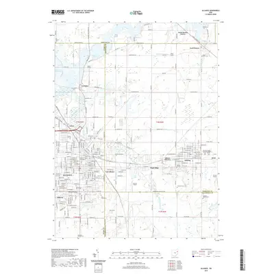
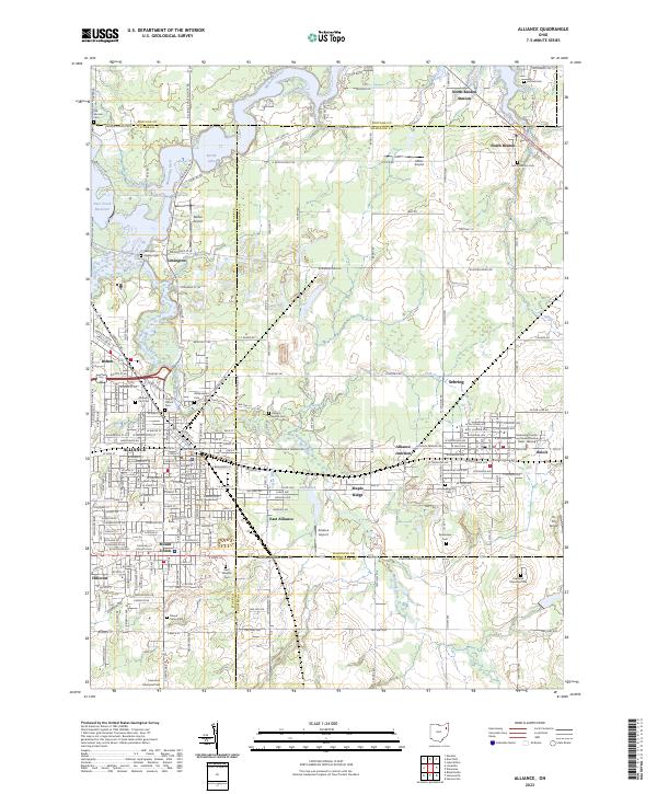 2023 Alliance2023 Print · USGSThe tri-county border area of Stark, Mahoning, and Columbiana comes alive in this contemporary look at the ALLIANCE region. Researchers can trace family roots at the University of Mount Union or through local sites like Dutch Church and Williamsport Cem.
End of results
Showing maps 1-24 of 24
Top cities near Beloit
- Weathersfield Township historical maps
- Alliance historical maps
- Salem historical maps
- Ravenna historical maps
- Newton Township historical maps
- Canfield historical maps
See more
Frequently asked questions
- What are the different types of historical maps available for Beloit?
- What is the oldest map of Beloit?
- Where can I purchase historical maps of Beloit for my home or office?
- Where can I download high-res historical maps of Beloit?
- Are there historical topographic maps available for Beloit?
- Is there historical aerial imagery available for Beloit?
- Where are historical maps of Beloit sourced from?