Old Maps of Milton Township, Ohio
Explore 37 old maps of Milton Township, spanning from 1906 to today. These high-resolution historic maps reveal how streets, neighborhoods, landmarks, and natural features evolved over time — perfect for genealogy, metal detecting, research, and local history exploration.
What you can do with these maps:
- See how Milton Township changed over time: Compare historical maps to modern-day views to trace roads, homesites, rail lines & more.
- View detailed metadata: Each map includes creators, publishers, year, scale, and archive source.
- Overlay maps with satellite & LiDAR: Visualize the past alongside modern tools to explore terrain & human change.
- Trusted historical sources: Maps sourced from the USGS, Library of Congress, and other archives.
- Access maps your way: View online, download high-res files, or order prints for personal or research use.
Start exploring old maps of Milton Township to uncover forgotten places, hidden landmarks, and the deep history beneath your feet.
Milton Township, OH maps
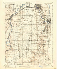
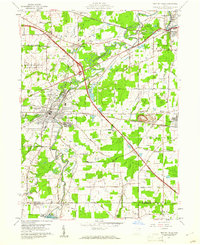
(37)- 1906 Map of Ravenna, 1961 Print
 1906 Ravenna1961 Print · USGSPortage County at the turn of the century was a network of rail-side hamlets and one-room schoolhouses. Genealogists can trace family roots through specific stops like New Milford Rootstown Sta and rural landmarks such as Whippoorwill School.
 - 1908 Map of Warren, 1937 Print
 1908 Warren1937 Print · USGSTrumbull and Mahoning counties at the turn of the century show a landscape defined by the heavy rail corridors of the Mahoning River valley. Genealogists can trace family footprints near Russell School, the Infirmary, and early settlements like Mineral Ridge.2 unique versions available
 - 1908 Map of Ravenna, 1946 Print
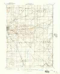 1908 Ravenna1946 Print · USGSPortage County at the dawn of the twentieth century was a vital crossroads of major rail lines and rural townships. Genealogists can trace family footprints across several rural schools like Evergreen School and vanished depots such as Palmyra Sta or Freedom Station.2 unique versions available
 - 1950 Map of Cleveland
 1950 Cleveland1950 Print · USGSCovers Milton Township, including Cleveland, Akron, and other nearby areas
 - 1952 Map of Lake Milton, 1953 Print
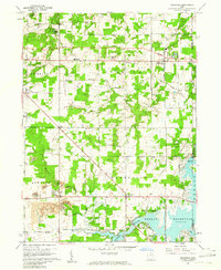
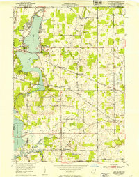 1952 Lake Milton1953 Print · USGSMahoning County in the early fifties shows a landscape of growing reservoirs and deep-rooted rural junctions. Researchers can trace family sites near Berlin Center, locate the Shilling Mill on the river, or find early lakeside settlements like Craig Beach and Flicks Corners.
 - 1956 Map of Cleveland, 1967 Print
 1956 Cleveland1967 Print · USGSNortheast Ohio and Western Pennsylvania are shown at their industrial height during the mid-fifties, from the steel mills to the lakeshore. Researchers can trace the massive Ravenna Arsenal, the Ohio Turnpike, and vanished rail sidings of the B & O RR.3 unique versions available
 - 1959 Map of Windham, 1961 Print
 1959 Windham1961 Print · USGSPortage County at the end of the fifties reveals a landscape shaped by military expansion and major transport lines. Researchers can trace the massive Ravenna Arsenal complex alongside small rail stops like Wayland and the historic Hawley Cem.3 unique versions available
 - 1959 Map of Newton Falls, 1961 Print
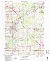
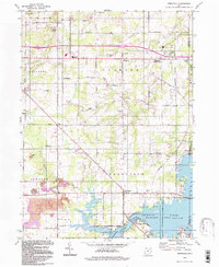
 1959 Newton Falls1961 Print · USGSTrumbull and Mahoning counties at the end of the fifties show a landscape of heavy industry and military installations. Genealogists can trace family names at St Michaels Cem or explore rail-era settlements like Phalanx Station and Leavittsburg.4 unique versions available
 - 1960 Map of Deerfield, 1961 Print
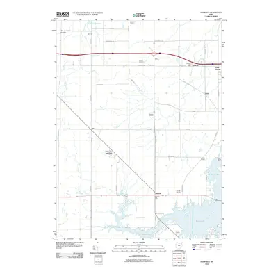
 1960 Deerfield1961 Print · USGSPortage and Mahoning counties are captured here in the early sixties, as the local economy balanced farming with expanding industry. Genealogists and historians can locate several family burial sites like Whippoorwill Cem, the rail stop at Diamond, and the early reach of the Berlin Reservoir.4 unique versions available
 - 1962 Map of Cleveland
 1962 Cleveland1962 Print · USGSNortheast Ohio and the Pennsylvania borderlands appear here during the industrial peak of the early sixties. Genealogists and historians can trace the expansive rail lines of the Nickel Plate Road and the growth of suburbs from Parma to Lyndhurst.
 - 1966 Map of Lake Milton, 1968 Print
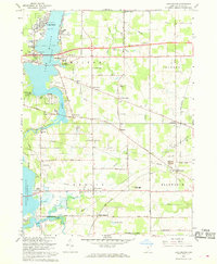 1966 Lake Milton1968 Print · USGSMahoning County is captured in the mid-1960s as lakeside recreation meets a traditional rail-and-river economy. Researchers can locate family roots at Vaughn Cem or trace the Penn Central tracks to Berlin Center Sta and Shiltown.2 unique versions available
 - 1986 Map of Cleveland South
 1986 Cleveland South1986 Print · USGSNortheast Ohio in the mid-eighties shows the expanding reach of the Akron and Cleveland suburbs into the surrounding countryside. Trace the industrial rail networks of the Erie Lackawanna RR or find local landmarks like Kent State University and the Ravenna Arsenal.
 - 1986 Map of Youngstown, 1988 Print
 1986 Youngstown1988 Print · USGSThe industrial corridor of the Mahoning Valley and the collegiate towns of Western Pennsylvania are captured here in the mid-eighties. Researchers can trace the rail lines of the Conrail network or locate historical sites like Churchill and Crown Hill Cem.2 unique versions available
 - 1994 Map of Cleveland South
 1994 Cleveland South1994 Print · USGSThe metropolitan corridor between Akron and Cleveland is shown here in the mid-nineties during a period of significant suburban growth. Researchers can trace the path of the Ohio Turnpike or explore expansive recreation lands like West Branch State Park.
 - 1994 Map of Newton Falls, 1997 Print
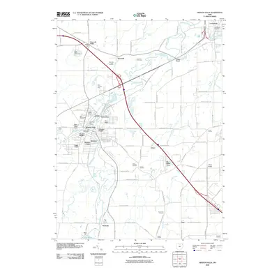
 1994 Newton Falls1997 Print · USGSNewton Falls and the Mahoning River valley appear here in the late twentieth century, showing a mix of industrial corridors and small settlements. Trace the rail lines of the Conrail or locate local landmarks like Phalanx Station, Pricetown, and the St Michaels Cem.
 - 1994 Map of Windham, 1997 Print
 1994 Windham1997 Print · USGSPortage and Trumbull counties are shown in the 1990s as a landscape shaped by military infrastructure and rural rail-and-river networks. Researchers can trace the massive Ravenna Arsenal, find old burial sites like St Josephs Cem, and locate the waters of Kirwan Reservoir.
 - 1994 Map of Deerfield, 1997 Print
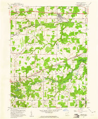
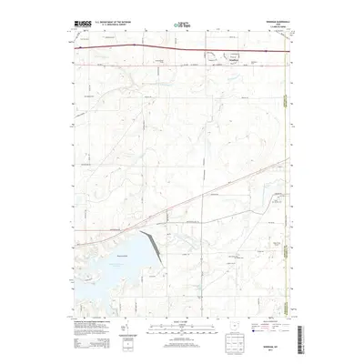
 1994 Deerfield1997 Print · USGSPortage County at the close of the twentieth century shows a landscape shaped by the waters of Berlin Lake and long-standing rural townships. Researchers can trace family sites at Mottown Cem, locate the old Akron YWCA Camp, or find historic coal works at the Strip Mine.
 - 2010 Map of Newton Falls, 2010 Print
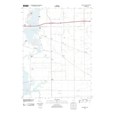
 2010 Newton Falls2010 Print · USGSCovers Milton Township, including Warren, Newton Township, and other nearby areas
 - 2010 Map of Lake Milton, 2010 Print
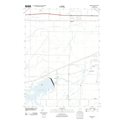
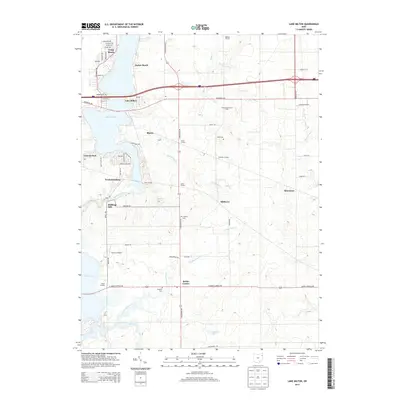
 2010 Lake Milton2010 Print · USGSCovers Milton Township, including Craig Beach, Lake Milton, and other nearby areas
 - 2010 Map of Windham, 2010 Print
 2010 Windham2010 Print · USGSCovers Milton Township, including Newton Township, Windham, and other nearby areas
 - 2010 Map of Deerfield, 2010 Print
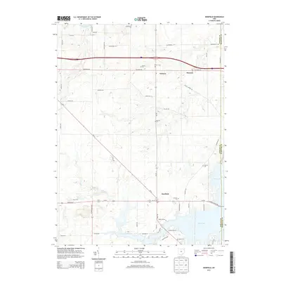
 2010 Deerfield2010 Print · USGSCovers Milton Township, including Deerfield, Palmyra, and other nearby areas
 - 2013 Map of Windham, 2013 Print
 2013 Windham2013 Print · USGSCovers Milton Township, including Newton Township, Windham, and other nearby areas
 - 2013 Map of Deerfield, 2013 Print
 2013 Deerfield2013 Print · USGSCovers Milton Township, including Deerfield, Palmyra, and other nearby areas
 - 2013 Map of Lake Milton, 2013 Print
 2013 Lake Milton2013 Print · USGSCovers Milton Township, including Craig Beach, Lake Milton, and other nearby areas
 - 2013 Map of Newton Falls, 2013 Print
 2013 Newton Falls2013 Print · USGSCovers Milton Township, including Warren, Newton Township, and other nearby areas
Showing maps 1-25 of 37
Top cities near Milton Township
- Warren historical maps
- Austintown historical maps
- Weathersfield Township historical maps
- Alliance historical maps
- Howland Township historical maps
- Niles historical maps
See more
Top neighborhoods of Milton Township
- Wolf's Corners historical maps
- Blanco historical maps
- Canyon Park historical maps
- Flick's Corners historical maps
- Scott's Corners historical maps
- Baldwin's Corners historical maps
See more
Frequently asked questions
- What are the different types of historical maps available for Milton Township?
- What is the oldest map of Milton Township?
- Where can I purchase historical maps of Milton Township for my home or office?
- Where can I download high-res historical maps of Milton Township?
- Are there historical topographic maps available for Milton Township?
- Is there historical aerial imagery available for Milton Township?
- Where are historical maps of Milton Township sourced from?