Old Maps of Marion County, Ohio for Academic Research
Study the evolution of Marion County with 104 high-resolution historic maps. Whether you're teaching, researching, or modeling changes in land use, these maps provide essential visual documentation of urban, environmental, and geographic change.
- Analyze long-term change: Track patterns in development, transportation, and natural features.
- Ideal for environmental or urban studies: Support academic projects with primary historical map data.
- Use in the classroom or lab: Educators and researchers rely on these maps to bring historical context to life.
These maps are a powerful tool for teaching, research, and visualizing how Marion County has changed over the decades.
Marion County, OH maps
(104)- 1903 Map of Marion, 1961 Print
 1903 Marion1961 Print · USGSMarion emerges as a powerful rail hub at the turn of the century, with nearly ten different lines intersecting at the city's heart. Local historians can trace the early industrial landscape through the Electric RR and the Quarry near Owen.
 - 1905 Map of Marion, 1944 Print
 1905 Marion1944 Print · USGSMarion became a bustling railroad crossroads at the turn of the century, serving as a vital link for the state's industrial and agricultural transport. Researchers can trace the early city grid, the path of the Hocking Valley Line, and rural outposts like Morral and Little Sandusky.
 - 1913 Map of Mount Gilead, 1960 Print
 1913 Mount Gilead1960 Print · USGSNorth Central Ohio during the early rail era reveals a landscape densely packed with small-town life and rural school districts. Genealogists can trace family roots through dozens of local landmarks, from Hog Swamp School to the bustling rail junctions at Martel and Galion.
 - 1915 Map of La Rue, 1944 Print
 1915 La Rue1944 Print · USGSRailroad hubs and rural school districts define the landscape of Marion and Wyandot Counties in the years before the Great War. Genealogists can trace family roots through numerous local landmarks like York Street School, the village of La Rue, and the Scioto Military Land.
 - 1915 Map of Marengo, 1946 Print
 1915 Marengo1946 Print · USGSMorrow and Delaware counties are shown in detail during the heyday of the steam railroad and the one-room schoolhouse. Genealogists and historians can locate vanished local landmarks like Swamp Angel School, the County Infirmary, and the Treaty Line.
 - 1916 Map of Mount Gilead, 1941 Print
 1916 Mount Gilead1941 Print · USGSMorrow and Crawford counties are shown here just before the First World War, when rail lines and rural schools defined the Ohio countryside. Genealogists can locate family-named sites like Miller Cem or schools such as Dice School and Hog Swamp School.
 - 1924 Map of Delaware, 1954 Print
 1924 Delaware1954 Print · USGSDelaware and its surrounding townships thrive in the mid-twenties as vital rail and river hubs. Researchers can trace the heritage of rural communities through dozens of local landmarks like Cherry Ridge School, Bethlehem Church, and Warrensburg.
 - 1925 Map of Delaware, 1940 Print
 1925 Delaware1940 Print · USGSCentral Ohio in the mid-1920s is defined by its vibrant river valleys and shifting rail corridors. Genealogists can trace family roots through numerous country schools like Schoor School, rural parishes such as St James Church, and early settlements like Ostrander and Radnor.
 - 1943 Map of Marengo
 1943 Marengo1943 Print · USGSCentral Ohio's agricultural heartland is documented here during the early war years, showing a landscape defined by small-town rail hubs and a dense network of rural schoolhouses. Researchers can trace family history through dozens of named sites like Chestnut Grove Sch, the County Infirmary, and settlements such as Westfield and Fulton.
 - 1943 Map of Mount Gilead
 1943 Mount Gilead1943 Print · USGSIn the early 1940s, this pocket of north-central Ohio remained a landscape of rail-connected towns and country school districts. Researchers can trace the rural heritage of Galion and Mount Gilead while locating landmarks like Miller Cem and the Guiding Star Sch.
 - 1944 Map of Delaware
 1944 Delaware1944 Print · USGSCentral Ohio during the Second World War shows a landscape of busy rail corridors and small crossroads settlements along the Scioto River. Genealogists can trace family roots through numerous country schools like Drumm Sch and landmarks such as Newhouse Cemetery.
 - 1950 Map of Marion
 1950 Marion1950 Print · USGSCentral Ohio was a powerhouse of rail and river industry at the mid-century point, serving as a vital corridor between the Great Lakes and the Ohio River valley. Genealogists and rail historians can trace the paths of the Erie RR and Nickel Plate Road through towns like Bucyrus, Galion, and Upper Sandusky.
 - 1960 Map of Morral, 1962 Print
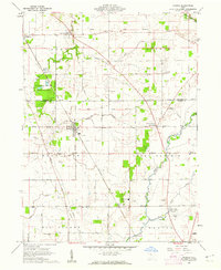 1960 Morral1962 Print · USGSMarion and Wyandot Counties come into focus during the early sixties, showing a landscape defined by the Old Indian Treaty Boundary. Genealogists can locate family names at Grand Prairie Cem or Bretz Cem, while tracing the Chesapeake and Ohio Road through Morral.3 unique versions available
 - 1960 Map of Marseilles, 1962 Print
 1960 Marseilles1962 Print · USGSThe rural borderlands of Wyandot and Hardin counties are mapped here in the early sixties, centered on the riverside village of Marseilles. Genealogists can trace family names through numerous rural sites like Stansbery Cem, York Street Ch, and the Old Indian Treaty Bdy.4 unique versions available
 - 1960 Map of Galion, 1962 Print
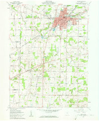 1960 Galion1962 Print · USGSMid-century Galion is captured here at the height of its rail-hub importance, where the major lines of the Midwest intersect. Genealogists and local historians can trace rural family plots like Autin Cem and Garverick Cem or explore early village life in Iberia and St James.3 unique versions available
 - 1961 Map of Meeker, 1962 Print
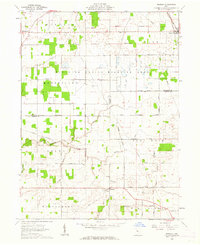 1961 Meeker1962 Print · USGSThe borderlands of Wyandot and Marion counties are captured here in the early sixties, showing a landscape defined by the historic Treaty Boundary. Researchers can locate old family cemeteries like Union Cem and Bowersville Cem or trace the early course of Tymochtee Creek.3 unique versions available
 - 1961 Map of Marion East, 1962 Print
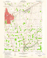 1961 Marion East1962 Print · USGSThe rail-driven growth of Marion and the surrounding Ohio farmlands are preserved here in the early sixties. Genealogists and historians can trace numerous rural burial grounds like Idleman Cem and Boyer Cem or locate industrial landmarks such as the Marion Engineer Depot.3 unique versions available
 - 1961 Map of New Bloomington, 1962 Print
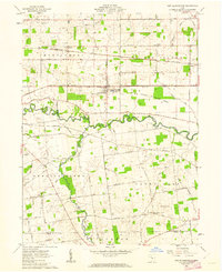 1961 New Bloomington1962 Print · USGSMarion County's rural townships are captured here in the early sixties, showing a landscape defined by the Scioto River and active rail lines. Researchers can trace family history through numerous small burial sites like Guthery and Salem Ch Cem, or locate the old Bell School.3 unique versions available
 - 1961 Map of Caledonia, 1962 Print
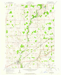 1961 Caledonia1962 Print · USGSAgricultural life in Marion and Crawford counties is captured here in the early sixties, as rail lines still linked small rural hubs. Trace family history through Monnett Chapel, Rush Cem, and the rail junction at Caledonia.2 unique versions available
 - 1961 Map of La Rue, 1962 Print
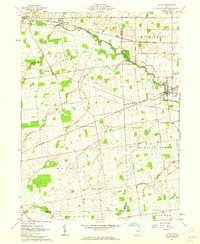 1961 La Rue1962 Print · USGSIn the early 1960s, this pocket of Marion and Hardin counties was a crossroads of the Erie-Lackawanna and New York Central railroads. Genealogists can locate numerous family burial grounds including Bonner Cem and Virden Cem, or trace the path of the Scioto River through La Rue.2 unique versions available
 - 1961 Map of Waldo, 1963 Print
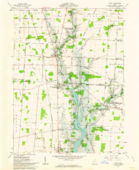 1961 Waldo1963 Print · USGSCentral Ohio during the early sixties shows a landscape in transition as the Delaware Reservoir expands through the river valleys. Genealogists can trace family footprints through numerous small burial sites like Drake Cem and Wyatt Cem or locate old community hubs at Mayfield Corners and Grange Hall.5 unique versions available
 - 1961 Map of Prospect, 1963 Print
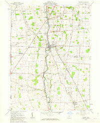 1961 Prospect1963 Print · USGSCentral Ohio's agricultural heartland is documented here in the early sixties, showing the vital river crossings and rail lines of Marion and Delaware Counties. Trace local genealogy and infrastructure via Prospect Cem, the Erie Railroad, and Hoskins Bridge Gaging Station.2 unique versions available
 - 1961 Map of Monnett, 1963 Print
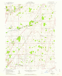 1961 Monnett1963 Print · USGSMarion and Crawford counties appear here in the early 1960s, showing a landscape defined by historical treaty lines and vital rail corridors. Researchers can locate family landmarks like Likens Cem and Kirkpatrick Cem, or trace the tracks of the Pennsylvania railroad through Monnett.2 unique versions available
 - 1961 Map of Ashley, 1963 Print
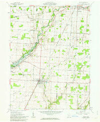 1961 Ashley1963 Print · USGSThe village of Ashley and its surrounding farmsteads are documented here in the early sixties, highlighting a landscape shaped by historical treaty lines and rail travel. Researchers can trace family burial sites at Ashley Union Cem and Morehouse Cem or locate the old New York Central railroad corridor.2 unique versions available
 - 1961 Map of Marion West, 1963 Print
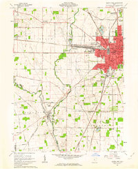 1961 Marion West1963 Print · USGSMarion emerges as a powerful rail hub in the early sixties, defined by the intersection of four major rail lines. Genealogists and local historians can trace the foundations of the community through its numerous neighborhood schools like Baker Jr High Sch and historic sites such as Green Camp Cem.4 unique versions available
Showing maps 1-25 of 104
Top cities of Marion County
Frequently asked questions
- What are the different types of historical maps available for Marion County?
- What is the oldest map of Marion County?
- Where can I purchase historical maps of Marion County for my home or office?
- Where can I download high-res historical maps of Marion County?
- Are there historical topographic maps available for Marion County?
- Is there historical aerial imagery available for Marion County?
- Where are historical maps of Marion County sourced from?