Old Maps of Marion Township, Ohio for Academic Research
Study the evolution of Marion Township with 30 high-resolution historic maps. Whether you're teaching, researching, or modeling changes in land use, these maps provide essential visual documentation of urban, environmental, and geographic change.
- Analyze long-term change: Track patterns in development, transportation, and natural features.
- Ideal for environmental or urban studies: Support academic projects with primary historical map data.
- Use in the classroom or lab: Educators and researchers rely on these maps to bring historical context to life.
These maps are a powerful tool for teaching, research, and visualizing how Marion Township has changed over the decades.
Marion Township, OH maps
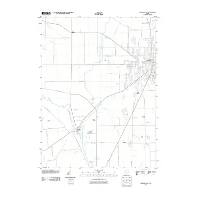
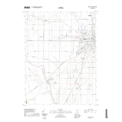
(30)- 1903 Map of Marion, 1961 Print
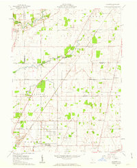
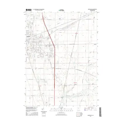
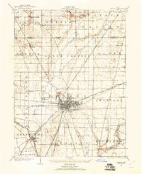 1903 Marion1961 Print · USGSMarion emerges as a powerful rail hub at the turn of the century, with nearly ten different lines intersecting at the city's heart. Local historians can trace the early industrial landscape through the Electric RR and the Quarry near Owen.
 - 1905 Map of Marion, 1944 Print
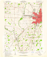
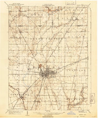 1905 Marion1944 Print · USGSMarion became a bustling railroad crossroads at the turn of the century, serving as a vital link for the state's industrial and agricultural transport. Researchers can trace the early city grid, the path of the Hocking Valley Line, and rural outposts like Morral and Little Sandusky.
 - 1950 Map of Marion
 1950 Marion1950 Print · USGSCentral Ohio was a powerhouse of rail and river industry at the mid-century point, serving as a vital corridor between the Great Lakes and the Ohio River valley. Genealogists and rail historians can trace the paths of the Erie RR and Nickel Plate Road through towns like Bucyrus, Galion, and Upper Sandusky.
 - 1960 Map of Morral, 1962 Print
 1960 Morral1962 Print · USGSMarion and Wyandot Counties come into focus during the early sixties, showing a landscape defined by the Old Indian Treaty Boundary. Genealogists can locate family names at Grand Prairie Cem or Bretz Cem, while tracing the Chesapeake and Ohio Road through Morral.3 unique versions available
 - 1961 Map of Marion East, 1962 Print
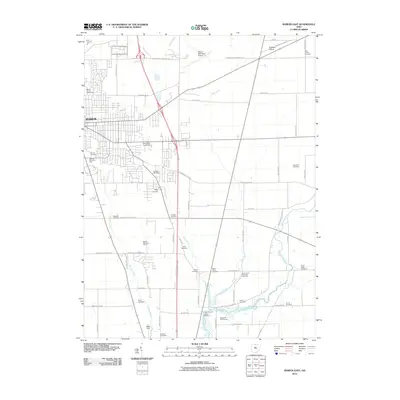
 1961 Marion East1962 Print · USGSThe rail-driven growth of Marion and the surrounding Ohio farmlands are preserved here in the early sixties. Genealogists and historians can trace numerous rural burial grounds like Idleman Cem and Boyer Cem or locate industrial landmarks such as the Marion Engineer Depot.3 unique versions available
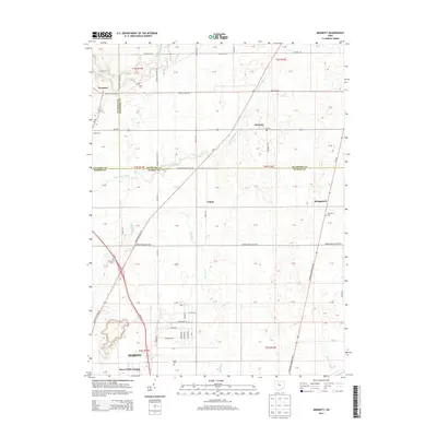
 - 1961 Map of Monnett, 1963 Print
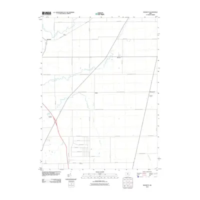
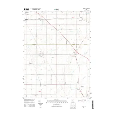
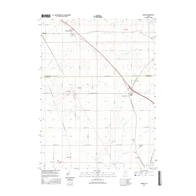
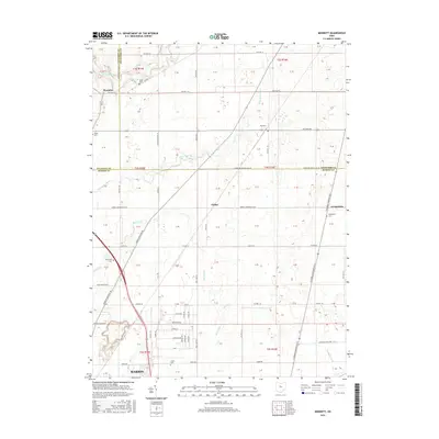
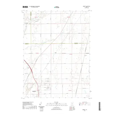
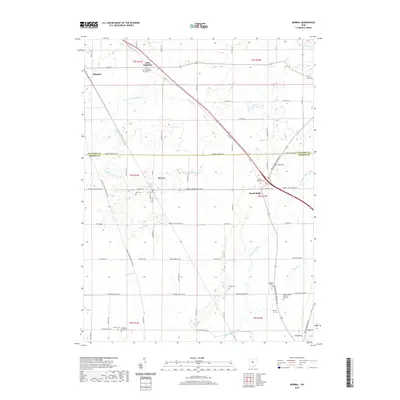
 1961 Monnett1963 Print · USGSMarion and Crawford counties appear here in the early 1960s, showing a landscape defined by historical treaty lines and vital rail corridors. Researchers can locate family landmarks like Likens Cem and Kirkpatrick Cem, or trace the tracks of the Pennsylvania railroad through Monnett.2 unique versions available
 - 1961 Map of Marion West, 1963 Print
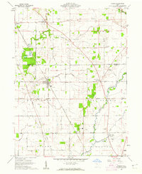
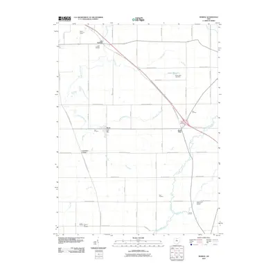
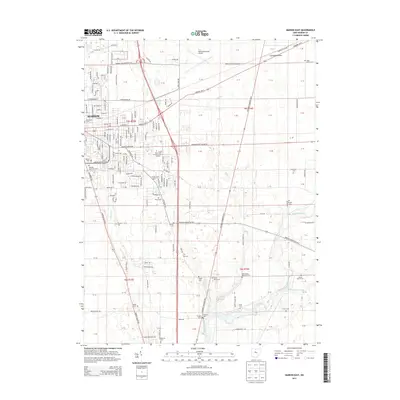
 1961 Marion West1963 Print · USGSMarion emerges as a powerful rail hub in the early sixties, defined by the intersection of four major rail lines. Genealogists and local historians can trace the foundations of the community through its numerous neighborhood schools like Baker Jr High Sch and historic sites such as Green Camp Cem.4 unique versions available
 - 1962 Map of Marion
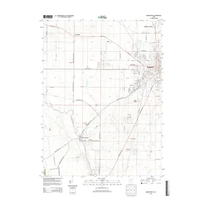
 1962 Marion1962 Print · USGSCentral Ohio during the post-war era showcases a dense network of railroad towns and emerging interstate highways. Genealogists can trace family roots in smaller settlements like Houcktown and Marseilles or locate landmarks near Indian Lake.
 - 1966 Map of Marion, 1968 Print
 1966 Marion1968 Print · USGSCentral Ohio in the mid-sixties is captured during a period of rapid highway expansion and industrial connectivity. Genealogists and historians can trace rail-and-river networks through towns like Marion, Urbana, and Mount Vernon, or locate landmarks such as Malabar Farm and Black Hand Rock.3 unique versions available
 - 1986 Map of Marion
 1986 Marion1986 Print · USGSNorthwest Ohio's agricultural and rail heartland is captured here in the mid-1980s, centered on the expansion of Marion and Kenton. Genealogists can trace family footprints near Bluffton College, old rail stops like Dola, and landmarks such as Indian Lake State Park.2 unique versions available
 - 2010 Map of Monnett, 2010 Print
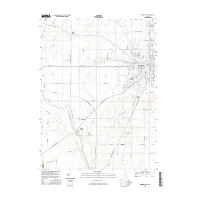
 2010 Monnett2010 Print · USGSCovers Marion Township, including Marion, Wyandot, and other nearby areas
 - 2010 Map of Marion East, 2010 Print
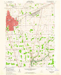
 2010 Marion East2010 Print · USGSCovers Marion Township, including Marion, Claridon Township, and other nearby areas
 - 2010 Map of Marion West, 2010 Print
 2010 Marion West2010 Print · USGSCovers Marion Township, including Marion, Big Island, and other nearby areas
 - 2010 Map of Morral, 2010 Print
 2010 Morral2010 Print · USGSCovers Marion Township, including Morral, Harpster, and other nearby areas
 - 2013 Map of Monnett, 2013 Print
 2013 Monnett2013 Print · USGSCovers Marion Township, including Marion, Wyandot, and other nearby areas
 - 2013 Map of Morral, 2013 Print
 2013 Morral2013 Print · USGSCovers Marion Township, including Morral, Harpster, and other nearby areas
 - 2013 Map of Marion East, 2013 Print
 2013 Marion East2013 Print · USGSCovers Marion Township, including Marion, Claridon Township, and other nearby areas
 - 2013 Map of Marion West, 2013 Print
 2013 Marion West2013 Print · USGSCovers Marion Township, including Marion, Big Island, and other nearby areas
 - 2016 Map of Marion East, 2016 Print
 2016 Marion East2016 Print · USGSCovers Marion Township, including Marion, Claridon Township, and other nearby areas
 - 2016 Map of Morral, 2016 Print
 2016 Morral2016 Print · USGSCovers Marion Township, including Morral, Harpster, and other nearby areas
 - 2016 Map of Monnett, 2016 Print
 2016 Monnett2016 Print · USGSCovers Marion Township, including Marion, Wyandot, and other nearby areas
 - 2016 Map of Marion West, 2016 Print
 2016 Marion West2016 Print · USGSCovers Marion Township, including Marion, Big Island, and other nearby areas
 - 2019 Map of Monnett, 2019 Print
 2019 Monnett2019 Print · USGSCovers Marion Township, including Marion, Wyandot, and other nearby areas
 - 2019 Map of Morral, 2019 Print
 2019 Morral2019 Print · USGSCovers Marion Township, including Morral, Harpster, and other nearby areas
 - 2019 Map of Marion West, 2019 Print
 2019 Marion West2019 Print · USGSCovers Marion Township, including Marion, Big Island, and other nearby areas
Showing maps 1-25 of 30
Top cities near Marion Township
- Marion historical maps
- Bucyrus historical maps
- Upper Sandusky historical maps
- Claridon historical maps
- Radnor historical maps
- Richwood historical maps
See more
Top neighborhoods of Marion Township
Frequently asked questions
- What are the different types of historical maps available for Marion Township?
- What is the oldest map of Marion Township?
- Where can I purchase historical maps of Marion Township for my home or office?
- Where can I download high-res historical maps of Marion Township?
- Are there historical topographic maps available for Marion Township?
- Is there historical aerial imagery available for Marion Township?
- Where are historical maps of Marion Township sourced from?