2000s (21st Century) Maps of Marion, Ohio
Explore 15 historic maps of Marion from the 2000s (21st Century). These maps offer a rare glimpse into what life looked like during the 2000s — showing old roads, neighborhoods, homes, and landmarks that have changed or disappeared over time.
Whether you're researching your family's past, planning a metal detecting trip, or studying how Marion's landscape evolved across the 2000s, these high-resolution maps are a powerful tool for exploring the history of this region.
- Focus on a specific era: All maps on this page are from the 2000s, giving you a focused view of this time period.
- See what’s changed: Compare century-old streets, trails, and buildings to today's modern landscape using overlays and satellite layers.
- Research with precision: Use these maps for genealogy, historical research, land use analysis, or educational projects.
- View, download, or print: Maps are fully viewable online in high resolution, and can be downloaded or printed for your own records.
Start exploring Marion's history through authentic maps from the 2000s. This is your window into the past.
Marion, OH maps
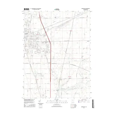
(15)- 2010 Map of Monnett, 2010 Print
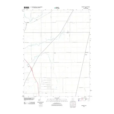 2010 Monnett2010 Print · USGSCovers Marion, including Wyandot, Claridon Township, and other nearby areas
 - 2010 Map of Marion East, 2010 Print
 2010 Marion East2010 Print · USGSCovers Marion, including Claridon Township, Pleasant Township, and other nearby areas
 - 2010 Map of Marion West, 2010 Print
 2010 Marion West2010 Print · USGSCovers Marion, including Big Island, Green Camp, and other nearby areas
 - 2013 Map of Monnett, 2013 Print
 2013 Monnett2013 Print · USGSCovers Marion, including Wyandot, Claridon Township, and other nearby areas
 - 2013 Map of Marion East, 2013 Print
 2013 Marion East2013 Print · USGSCovers Marion, including Claridon Township, Pleasant Township, and other nearby areas
 - 2013 Map of Marion West, 2013 Print
 2013 Marion West2013 Print · USGSCovers Marion, including Big Island, Green Camp, and other nearby areas
 - 2016 Map of Marion East, 2016 Print
 2016 Marion East2016 Print · USGSCovers Marion, including Claridon Township, Pleasant Township, and other nearby areas
 - 2016 Map of Monnett, 2016 Print
 2016 Monnett2016 Print · USGSCovers Marion, including Wyandot, Claridon Township, and other nearby areas
 - 2016 Map of Marion West, 2016 Print
 2016 Marion West2016 Print · USGSCovers Marion, including Big Island, Green Camp, and other nearby areas
 - 2019 Map of Monnett, 2019 Print
 2019 Monnett2019 Print · USGSCovers Marion, including Wyandot, Claridon Township, and other nearby areas
 - 2019 Map of Marion West, 2019 Print
 2019 Marion West2019 Print · USGSCovers Marion, including Big Island, Green Camp, and other nearby areas
 - 2019 Map of Marion East, 2019 Print
 2019 Marion East2019 Print · USGSCovers Marion, including Claridon Township, Pleasant Township, and other nearby areas
 - 2023 Map of Marion West, 2023 Print
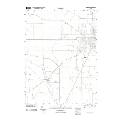
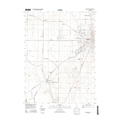
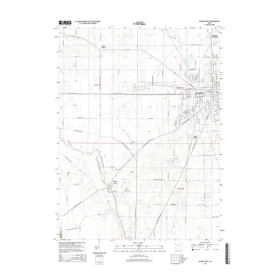
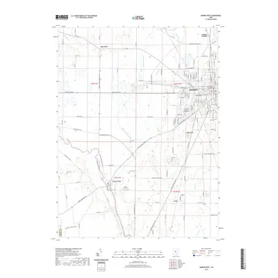
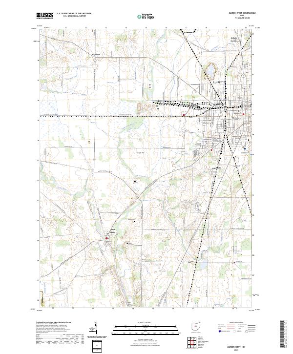 2023 Marion West2023 Print · USGSThe western outskirts of Marion and the river bottomlands are captured here in the early twenty-first century. Genealogists can trace family burial sites at Markel Kirts Cem and Green Camp Cem, while researchers can follow the CSX rail lines past Owens.
 - 2023 Map of Marion East, 2023 Print
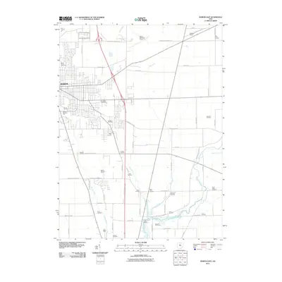
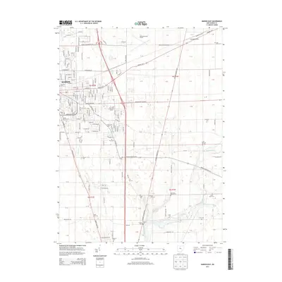
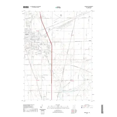
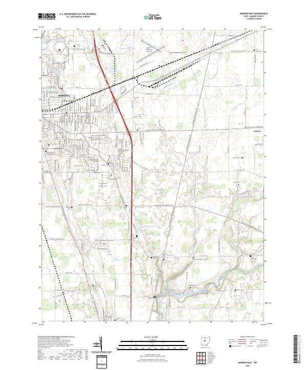 2023 Marion East2023 Print · USGSMarion and its eastern outskirts are captured here in the early twenty-first century, showing the city's modern expansion alongside deep historical roots. Genealogists can locate numerous small burial sites like Ziller Family Cem and the President Warren Harding Memorial.
 - 2023 Map of Monnett, 2023 Print
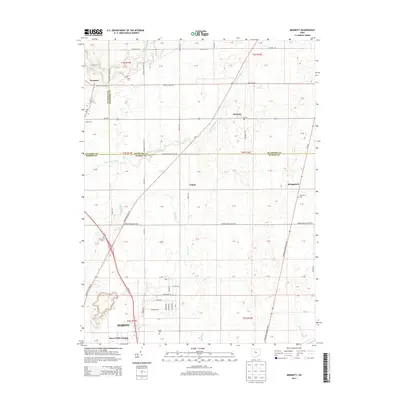
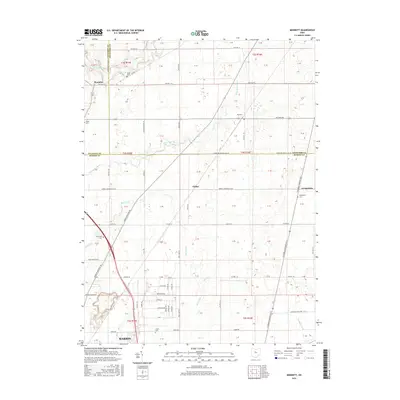
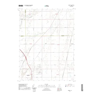
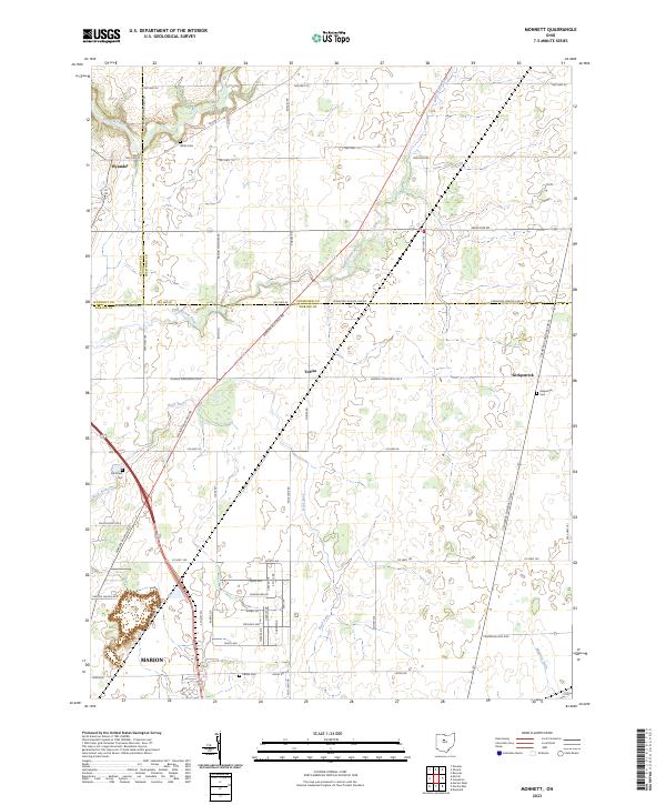 2023 Monnett2023 Print · USGSMarion and its rural northern neighbors are documented here in the early twenty-first century, showing the intersection of three Ohio counties. Genealogists can locate several family-named landmarks including White Cem, Likens Cem, and the settlement of Tobias.
End of results
Showing maps 1-15 of 15
Top cities near Marion
- Bucyrus historical maps
- Upper Sandusky historical maps
- Claridon historical maps
- Radnor historical maps
- Richwood historical maps
- Cardington historical maps
See more
Top neighborhoods of Marion
Frequently asked questions
- What are the different types of historical maps available for Marion?
- What is the oldest map of Marion?
- Where can I purchase historical maps of Marion for my home or office?
- Where can I download high-res historical maps of Marion?
- Are there historical topographic maps available for Marion?
- Is there historical aerial imagery available for Marion?
- Where are historical maps of Marion sourced from?