2000s (21st Century) Maps of Prospect Township, Ohio
Explore 15 historic maps of Prospect Township from the 2000s (21st Century). These maps offer a rare glimpse into what life looked like during the 2000s — showing old roads, neighborhoods, homes, and landmarks that have changed or disappeared over time.
Whether you're researching your family's past, planning a metal detecting trip, or studying how Prospect Township's landscape evolved across the 2000s, these high-resolution maps are a powerful tool for exploring the history of this region.
- Focus on a specific era: All maps on this page are from the 2000s, giving you a focused view of this time period.
- See what’s changed: Compare century-old streets, trails, and buildings to today's modern landscape using overlays and satellite layers.
- Research with precision: Use these maps for genealogy, historical research, land use analysis, or educational projects.
- View, download, or print: Maps are fully viewable online in high resolution, and can be downloaded or printed for your own records.
Start exploring Prospect Township's history through authentic maps from the 2000s. This is your window into the past.
Prospect Township, OH maps
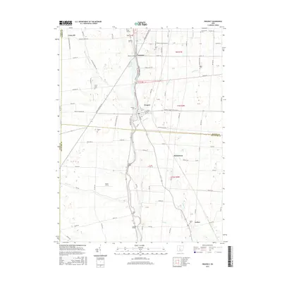
(15)- 2010 Map of Prospect, 2010 Print
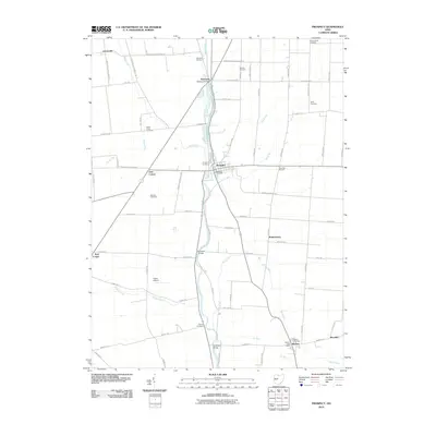 2010 Prospect2010 Print · USGSCovers Prospect Township, including Radnor, Prospect, and other nearby areas
 - 2010 Map of Waldo, 2010 Print
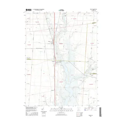
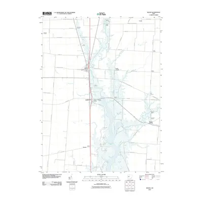 2010 Waldo2010 Print · USGSCovers Prospect Township, including Waldo, Pleasant Township, and other nearby areas
 - 2010 Map of Marion West, 2010 Print
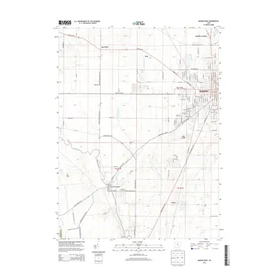
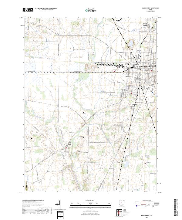
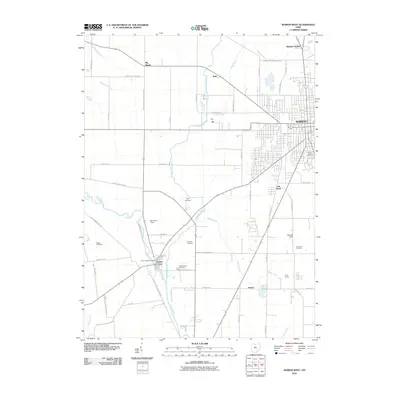 2010 Marion West2010 Print · USGSCovers Prospect Township, including Marion, Big Island, and other nearby areas
 - 2013 Map of Prospect, 2013 Print
 2013 Prospect2013 Print · USGSCovers Prospect Township, including Radnor, Prospect, and other nearby areas
 - 2013 Map of Waldo, 2013 Print
 2013 Waldo2013 Print · USGSCovers Prospect Township, including Waldo, Pleasant Township, and other nearby areas
 - 2013 Map of Marion West, 2013 Print
 2013 Marion West2013 Print · USGSCovers Prospect Township, including Marion, Big Island, and other nearby areas
 - 2016 Map of Waldo, 2016 Print
 2016 Waldo2016 Print · USGSCovers Prospect Township, including Waldo, Pleasant Township, and other nearby areas
 - 2016 Map of Prospect, 2016 Print
 2016 Prospect2016 Print · USGSCovers Prospect Township, including Radnor, Prospect, and other nearby areas
 - 2016 Map of Marion West, 2016 Print
 2016 Marion West2016 Print · USGSCovers Prospect Township, including Marion, Big Island, and other nearby areas
 - 2019 Map of Prospect, 2019 Print
 2019 Prospect2019 Print · USGSCovers Prospect Township, including Radnor, Prospect, and other nearby areas
 - 2019 Map of Waldo, 2019 Print
 2019 Waldo2019 Print · USGSCovers Prospect Township, including Waldo, Pleasant Township, and other nearby areas
 - 2019 Map of Marion West, 2019 Print
 2019 Marion West2019 Print · USGSCovers Prospect Township, including Marion, Big Island, and other nearby areas
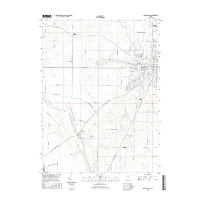
 - 2023 Map of Marion West, 2023 Print
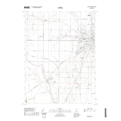
 2023 Marion West2023 Print · USGSThe western outskirts of Marion and the river bottomlands are captured here in the early twenty-first century. Genealogists can trace family burial sites at Markel Kirts Cem and Green Camp Cem, while researchers can follow the CSX rail lines past Owens.
 - 2023 Map of Prospect, 2023 Print
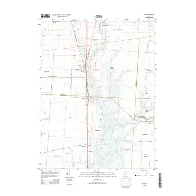
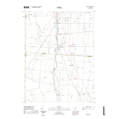
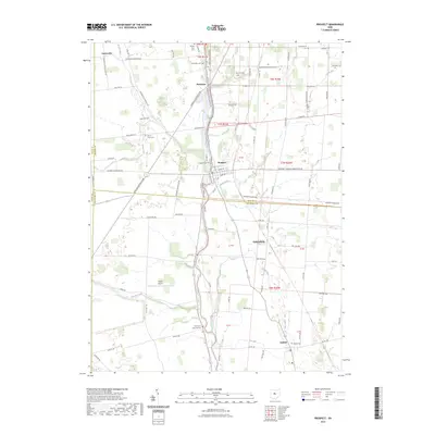 2023 Prospect2023 Print · USGSMarion and Delaware Counties come together in the 2020s along the banks of the Scioto River. Genealogists and local historians can trace numerous burial sites like Thompson Township Cem and the Schweinfurth Cem near Prospect.
 - 2023 Map of Waldo, 2023 Print
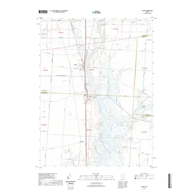
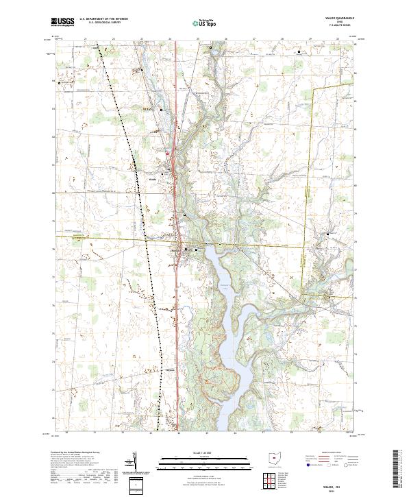 2023 Waldo2023 Print · USGSMarion and Delaware counties are captured in the early 2020s, showing a landscape defined by the Olentangy River and the rural crossroads of Waldo. Genealogists can locate numerous local burying grounds including Drake Cem, Wyatt Cem, and Berringer Cem.
End of results
Showing maps 1-15 of 15
Top cities near Prospect Township
- Delaware historical maps
- Marion historical maps
- Marysville historical maps
- Scioto historical maps
- Claridon historical maps
- Radnor historical maps
See more
Top neighborhoods of Prospect Township
Frequently asked questions
- What are the different types of historical maps available for Prospect Township?
- What is the oldest map of Prospect Township?
- Where can I purchase historical maps of Prospect Township for my home or office?
- Where can I download high-res historical maps of Prospect Township?
- Are there historical topographic maps available for Prospect Township?
- Is there historical aerial imagery available for Prospect Township?
- Where are historical maps of Prospect Township sourced from?