2000s (21st Century) Maps of Salt Rock Township, Ohio
Explore 10 historic maps of Salt Rock Township from the 2000s (21st Century). These maps offer a rare glimpse into what life looked like during the 2000s — showing old roads, neighborhoods, homes, and landmarks that have changed or disappeared over time.
Whether you're researching your family's past, planning a metal detecting trip, or studying how Salt Rock Township's landscape evolved across the 2000s, these high-resolution maps are a powerful tool for exploring the history of this region.
- Focus on a specific era: All maps on this page are from the 2000s, giving you a focused view of this time period.
- See what’s changed: Compare century-old streets, trails, and buildings to today's modern landscape using overlays and satellite layers.
- Research with precision: Use these maps for genealogy, historical research, land use analysis, or educational projects.
- View, download, or print: Maps are fully viewable online in high resolution, and can be downloaded or printed for your own records.
Start exploring Salt Rock Township's history through authentic maps from the 2000s. This is your window into the past.
Salt Rock Township, OH maps
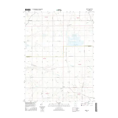
(10)- 2010 Map of Meeker, 2010 Print
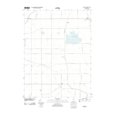 2010 Meeker2010 Print · USGSCovers Salt Rock Township, including Harpster, Pitt Township, and other nearby areas
 - 2010 Map of Morral, 2010 Print
 2010 Morral2010 Print · USGSCovers Salt Rock Township, including Morral, Harpster, and other nearby areas
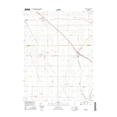
 - 2013 Map of Morral, 2013 Print
 2013 Morral2013 Print · USGSCovers Salt Rock Township, including Morral, Harpster, and other nearby areas
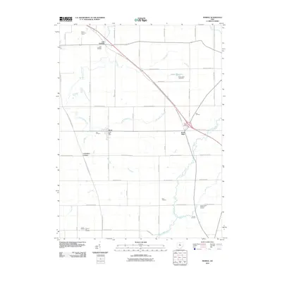
 - 2013 Map of Meeker, 2013 Print
 2013 Meeker2013 Print · USGSCovers Salt Rock Township, including Harpster, Pitt Township, and other nearby areas
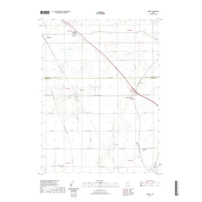
 - 2016 Map of Meeker, 2016 Print
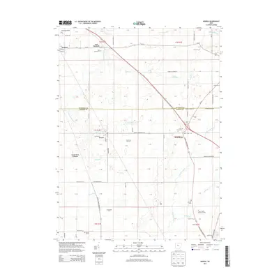
 2016 Meeker2016 Print · USGSCovers Salt Rock Township, including Harpster, Pitt Township, and other nearby areas
 - 2016 Map of Morral, 2016 Print
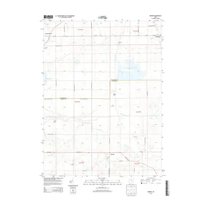
 2016 Morral2016 Print · USGSCovers Salt Rock Township, including Morral, Harpster, and other nearby areas
 - 2019 Map of Morral, 2019 Print
 2019 Morral2019 Print · USGSCovers Salt Rock Township, including Morral, Harpster, and other nearby areas
 - 2019 Map of Meeker, 2019 Print
 2019 Meeker2019 Print · USGSCovers Salt Rock Township, including Harpster, Pitt Township, and other nearby areas
 - 2023 Map of Meeker, 2023 Print
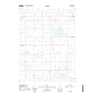
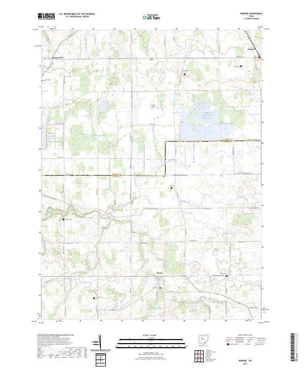 2023 Meeker2023 Print · USGSMarion and Wyandot Counties are shown in the modern era, revealing a landscape defined by traditional farming and sophisticated water management. Genealogists can locate several small burial sites like Union Cem, Wheeler Cem, and Deal Cem.
 - 2023 Map of Morral, 2023 Print
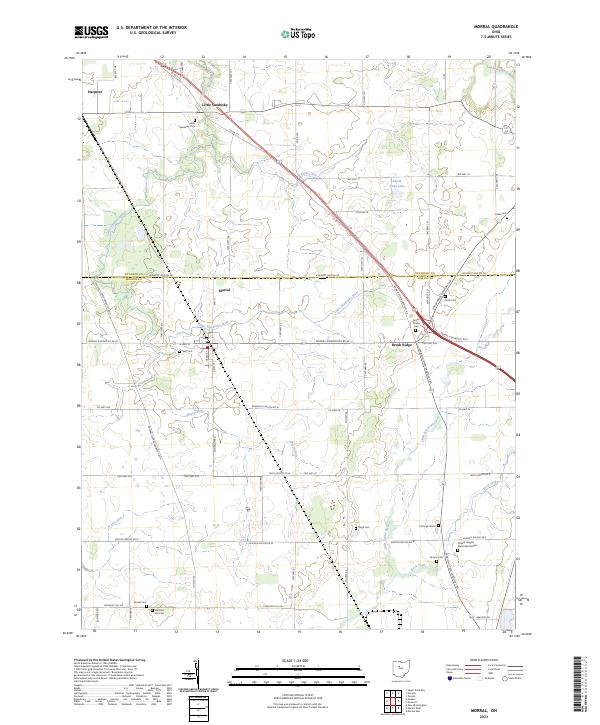 2023 Morral2023 Print · USGSThe Wyandot and Marion county line comes alive in this contemporary survey of the Ohio agricultural heartland. Researchers can locate numerous family burial grounds like Neff Cem and Bretz Cem tucked between the Little Sandusky River and Brush Ridge.
End of results
Showing maps 1-10 of 10
Top cities near Salt Rock Township
- Marion historical maps
- Upper Sandusky historical maps
- Big Island historical maps
- Prospect historical maps
- Nevada historical maps
- La Rue historical maps
See more
Top neighborhoods of Salt Rock Township
Frequently asked questions
- What are the different types of historical maps available for Salt Rock Township?
- What is the oldest map of Salt Rock Township?
- Where can I purchase historical maps of Salt Rock Township for my home or office?
- Where can I download high-res historical maps of Salt Rock Township?
- Are there historical topographic maps available for Salt Rock Township?
- Is there historical aerial imagery available for Salt Rock Township?
- Where are historical maps of Salt Rock Township sourced from?