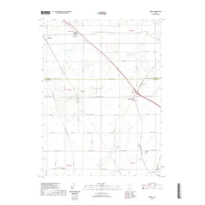
2019 Map of Morral
USGS Topo · Published 2019About this map
The Little Sandusky River and Little Scioto River drain this rural landscape along the Wyandot and Marion County border. At the center of this 2019 survey, the village of Morral sits along the CSX railroad corridor, which historically drove the agricultural economy of the region. The map reveals a dense network of country burial grounds and family-named landmarks, reflecting generations of settlement in the area. Genealogists will find several notable sites including the Little Sandusky Cem, Grand Prairie Cem, and the solitary Fitzhugh Grave. To the north, the small community of Little Sandusky is situated near the Sandusky River, while Harpster occupies the western edge of the quadrangle. The terrain is defined by low-lying drainage features like Morral Run, Prairie Run, and Honey Run, which cut through the strictly gridded township and range system.
Find a feature on this map
81 named features on this map. Tap any name to fly to it.
Don’t see what you’re looking for? This feature index may not catch every label — zoom into the map to look around manually.
Map Details
Editions of this 2019 Morral Map
This is the sole edition of this map. No revisions or reprints were ever made.
Other maps of this area

1903 · Marion
USGS Topo · 1:62,500

1905 · Marion
USGS Topo · 1:62,500

1906 · Sycamore
USGS Topo · 1:62,500

1907 · Upper Sandusky
USGS Topo · 1:62,500

1915 · La Rue
USGS Topo · 1:62,500

1950 · Marion
USGS Topo · 1:250,000

1960 · Oceola
USGS Topo · 1:24,000

1960 · Nevada
USGS Topo · 1:24,000
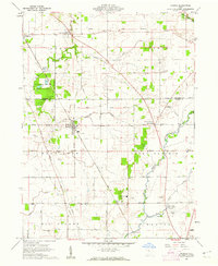
1960 · Morral
USGS Topo · 1:24,000

1960 · Upper Sandusky
USGS Topo · 1:24,000