
1960 Map of Nevada
USGS Topo · Published 1961About this map
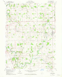
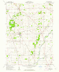
Pennsylvania railroad tracks bisect the landscape at the turn of the 1960s, connecting the village of Nevada to the smaller settlement of Edenville. This agricultural portion of Wyandot County is defined by its drainage into the Sandusky River and Broken Sword Creek, which meander through a grid of townships including Crane, Eden, Pitt, and Ant Rim. The map preserves the location of numerous 19th-century church and cemetery sites, such as Salem Ch Cem and Old Rock Run Cem, which often served as the social anchors for scattered farmsteads.
Find a feature on this map
31 named features on this map. Tap any name to fly to it.
Don’t see what you’re looking for? This feature index may not catch every label — zoom into the map to look around manually.
Map Details
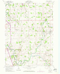
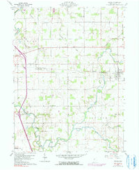
Editions of this 1960 Nevada Map
4 editions found
Other maps of this area

1903 · Marion
USGS Topo · 1:62,500

1905 · Marion
USGS Topo · 1:62,500

1906 · Sycamore
USGS Topo · 1:62,500

1907 · Upper Sandusky
USGS Topo · 1:62,500

1915 · La Rue
USGS Topo · 1:62,500

1950 · Marion
USGS Topo · 1:250,000

1960 · Sycamore
USGS Topo · 1:24,000

1960 · Oceola
USGS Topo · 1:24,000
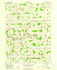
1960 · Lykens
USGS Topo · 1:24,000
1960 · Morral
USGS Topo · 1:24,000