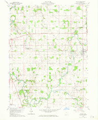
1960 Map of Nevada
USGS Topo · Published 1970About this map
The Sandusky River meanders across this rural Wyandot County landscape, defining a terrain shaped by water and early land divisions. The Old Indian Treaty Boundary cuts through the northeast, a sharp diagonal reminder of the region's historical shifting borders. In the town of Nevada, the Pennsylvania railroad establishes a firm east-west axis, anchoring the village and connecting it to smaller outlying communities like Edenville.
Find a feature on this map
29 named features on this map. Tap any name to fly to it.
Don’t see what you’re looking for? This feature index may not catch every label — zoom into the map to look around manually.
Map Details
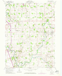
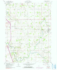
Editions of this 1960 Nevada Map
4 editions found
Other maps of this area

1903 · Marion
USGS Topo · 1:62,500

1905 · Marion
USGS Topo · 1:62,500

1906 · Sycamore
USGS Topo · 1:62,500

1907 · Upper Sandusky
USGS Topo · 1:62,500

1915 · La Rue
USGS Topo · 1:62,500

1950 · Marion
USGS Topo · 1:250,000

1960 · Sycamore
USGS Topo · 1:24,000

1960 · Oceola
USGS Topo · 1:24,000
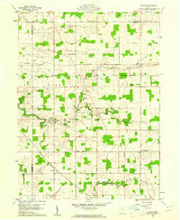
1960 · Lykens
USGS Topo · 1:24,000

1960 · Nevada
USGS Topo · 1:24,000