
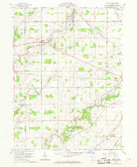
1960 Map of Oceola
USGS Topo · Published 1961About this map
Broken Sword Creek meanders through this portion of Crawford and Wyandot Counties, passing the settlement of Oceola. The landscape in 1960 reflects a transition from early frontier boundaries to a structured mid-century agricultural and industrial grid. Evidence of the region's surveying history is preserved in the Old Indian Treaty Boundary Road, which cuts diagonally across the township lines. Near the creek, Quarry Lake and a nearby Quarry indicate the local extractive industry, while the village of Nevada serves as a hub for the Pennsylvania railroad line. Rural life is anchored by community landmarks such as Holmes-Liberty Sch and Mt Zion Sch, alongside long-standing spiritual centers like American Ch and Bethel Cem. To the south, the Sandusky River flows past Camp Michael, showing the river's role in local recreation and drainage for the surrounding farmland.
Find a feature on this map
33 named features on this map. Tap any name to fly to it.
Don’t see what you’re looking for? This feature index may not catch every label — zoom into the map to look around manually.
Map Details
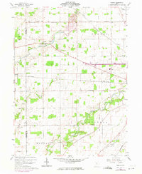
Editions of this 1960 Oceola Map
3 editions found
Other maps of this area

1903 · Marion
USGS Topo · 1:62,500

1905 · Marion
USGS Topo · 1:62,500

1906 · Sycamore
USGS Topo · 1:62,500

1913 · Mount Gilead
USGS Topo · 1:62,500

1915 · Bucyrus
USGS Topo · 1:62,500

1916 · Mount Gilead
USGS Topo · 1:62,500

1943 · Bucyrus
USGS Topo · 1:62,500

1943 · Mount Gilead
USGS Topo · 1:62,500

1950 · Marion
USGS Topo · 1:250,000

1960 · Sycamore
USGS Topo · 1:24,000