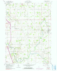
1960 Map of Nevada
USGS Topo · Published 1991About this map
The Old Indian Treaty Boundary carves a straight historical line through the eastern edge of this Wyandot County landscape, marking a legacy of frontier surveying that persists long after the initial settlement. The village of Nevada serves as the primary hub along the Penn Central rail line, which bisects the townships of Crane, Eden, and Antrim. This map records a rural agricultural society anchored by numerous country churches, including Salem Ch, Bethel Ch, and Emanuel Ch, alongside scattered burying grounds such as Ulrich Cem and Burkes Cem.
Find a feature on this map
28 named features on this map. Tap any name to fly to it.
Don’t see what you’re looking for? This feature index may not catch every label — zoom into the map to look around manually.
Map Details
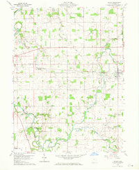
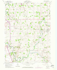
Editions of this 1960 Nevada Map
4 editions found
Other maps of this area

1903 · Marion
USGS Topo · 1:62,500

1905 · Marion
USGS Topo · 1:62,500

1906 · Sycamore
USGS Topo · 1:62,500

1907 · Upper Sandusky
USGS Topo · 1:62,500

1915 · La Rue
USGS Topo · 1:62,500

1950 · Marion
USGS Topo · 1:250,000

1960 · Sycamore
USGS Topo · 1:24,000

1960 · Oceola
USGS Topo · 1:24,000
1960 · Lykens
USGS Topo · 1:24,000

1960 · Nevada
USGS Topo · 1:24,000