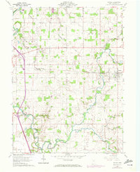
1960 Map of Nevada
USGS Topo · Published 1972About this map
The Sandusky River and Broken Sword Creek define the agrarian landscape of Wyandot County in this early 1960s study. The terrain is structured by the Old Indian Treaty Boundary, which slants across the eastern portion of the map, cutting through the township of Eden. The village of Nevada serves as a local hub, situated where the Penn Central railroad corridors intersect the local road network.
Find a feature on this map
33 named features on this map. Tap any name to fly to it.
Don’t see what you’re looking for? This feature index may not catch every label — zoom into the map to look around manually.
Map Details
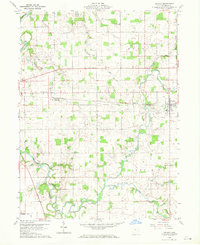
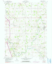
Editions of this 1960 Nevada Map
4 editions found
Other maps of this area

1903 · Marion
USGS Topo · 1:62,500

1905 · Marion
USGS Topo · 1:62,500

1906 · Sycamore
USGS Topo · 1:62,500

1907 · Upper Sandusky
USGS Topo · 1:62,500

1915 · La Rue
USGS Topo · 1:62,500

1950 · Marion
USGS Topo · 1:250,000

1960 · Sycamore
USGS Topo · 1:24,000

1960 · Oceola
USGS Topo · 1:24,000
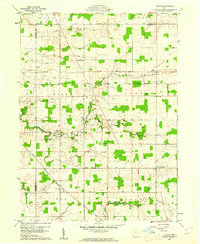
1960 · Lykens
USGS Topo · 1:24,000

1960 · Nevada
USGS Topo · 1:24,000