Loading...
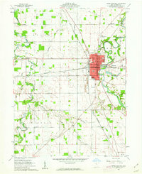
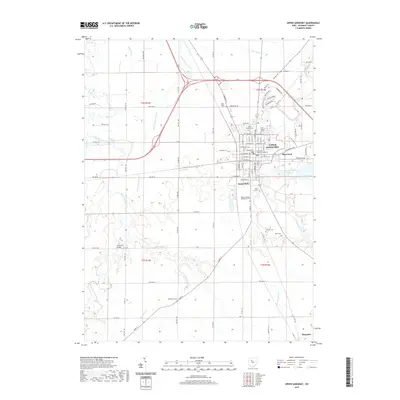
Loading map...1960 Map of Upper Sandusky
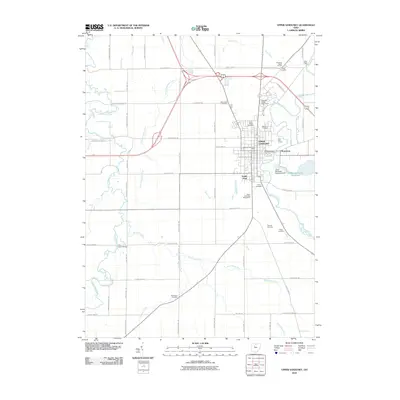
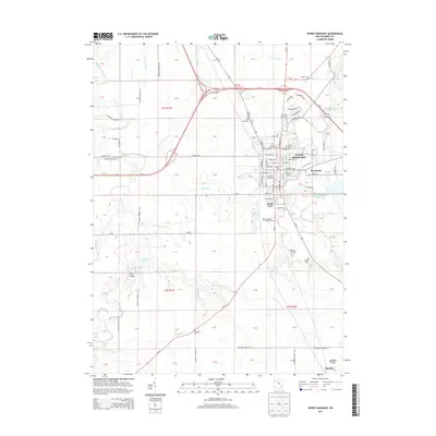
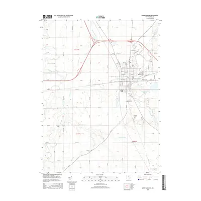
USGS Topo · Published 1962About this map
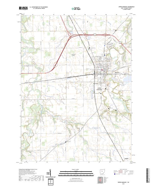
The city of Upper Sandusky serves as the focal point of this 1960s study, situated at a major crossing of the Sandusky River and the Pennsylvania and Chesapeake and Ohio railroads. The town's civic infrastructure is well-defined, showing the Courthouse, City Hall, and multiple educational buildings like High Sch and South Sch. Just north of the urban center, the County Fairgrounds and the Upper Sandusky Airport reflect the area's role as a regional hub.
Find a feature on this map
45 named features on this map. Tap any name to fly to it.
Don’t see what you’re looking for? This feature index may not catch every label — zoom into the map to look around manually.
Map Details
Date Portrayed1960
Date Published1962
PublisherU.S. Geological Survey
Map TypeTopographic
Scale1:24,000
Physical Dimensions22.1 x 27 inches
Editions of this 1960 Upper Sandusky Map
2 editions found

Historical Maps of Upper Sandusky Through Time
7 maps found

Featured Locations
- Upper Sandusky, OH
- Mifflin Township, OH
- Salem Township, OH
- Harpster, Pitt Township
- Mononcue, Upper Sandusky
Source Details
SourceU.S. Geological Survey
CopyrightPublic Domain