
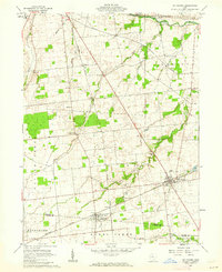
1960 Map of Marseilles
USGS Topo · Published 1962About this map
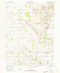
The village of Marseilles sits at a sharp bend in Tymochtee Creek, serving as a central point in this rural landscape where Wyandot, Hardin, and Marion counties meet. The agricultural character of the region is punctuated by a high density of country churches and family burial grounds, such as York Street Ch and the McKendree Cem. One of the most distinctive historical markers on this 1960 survey is the Old Indian Treaty Bdy, which cuts diagonally across the northern township of Mifflin, reflecting the early 19th-century land divisions of the Congress Lands. Waterways like Little Tymochtee Creek and Pawpaw Run define the drainage patterns through the townships of Goshen and Grand, while local infrastructure is marked by a prominent Pipeline and several named thoroughfares including Wolfe Road and Fail Road.
Find a feature on this map
35 named features on this map. Tap any name to fly to it.
Don’t see what you’re looking for? This feature index may not catch every label — zoom into the map to look around manually.
Map Details
Editions of this 1960 Marseilles Map
4 editions found
Other maps of this area

1905 · Arlington
USGS Topo · 1:62,500

1907 · Arlington
USGS Topo · 1:24,000

1907 · Upper Sandusky
USGS Topo · 1:62,500

1915 · Kenton
USGS Topo · 1:62,500

1915 · La Rue
USGS Topo · 1:62,500

1944 · Kenton
USGS Topo · 1:62,500

1950 · Marion
USGS Topo · 1:250,000

1960 · Upper Sandusky
USGS Topo · 1:24,000
1961 · Meeker
USGS Topo · 1:24,000
1961 · Mt Victory
USGS Topo · 1:24,000