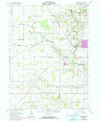
1960 Map of Marseilles
USGS Topo · Published 1990About this map
The Old Indian Treaty Bdy cuts diagonally across this landscape, marking a significant historical line through the agricultural heart of Wyandot County. Centered on the village of Marseilles, the topography is defined by the winding course of Tymochtee Creek and its many tributaries, including Little Tymochtee Creek, Paupaw Run, and Reevhorn Run. These waterways historically dictated the placement of settlements and mills, as evidenced by the local Quarry and various family-named landmarks.
Find a feature on this map
37 named features on this map. Tap any name to fly to it.
Don’t see what you’re looking for? This feature index may not catch every label — zoom into the map to look around manually.
Map Details
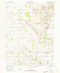
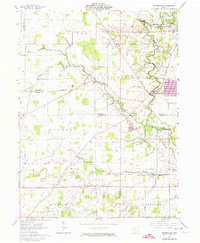
Editions of this 1960 Marseilles Map
4 editions found
Other maps of this area

1905 · Arlington
USGS Topo · 1:62,500

1907 · Arlington
USGS Topo · 1:24,000

1907 · Upper Sandusky
USGS Topo · 1:62,500

1915 · Kenton
USGS Topo · 1:62,500

1915 · La Rue
USGS Topo · 1:62,500

1944 · Kenton
USGS Topo · 1:62,500

1950 · Marion
USGS Topo · 1:250,000

1960 · Upper Sandusky
USGS Topo · 1:24,000

1960 · Marseilles
USGS Topo · 1:24,000
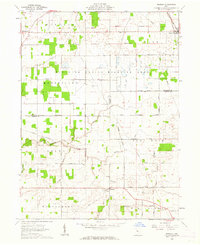
1961 · Meeker
USGS Topo · 1:24,000