Old Maps of Brunswick, Ohio for Genealogy
Trace your family roots with 25 historic maps of Brunswick. These high-res maps reveal old neighborhoods, homesites, landmarks, and streets — helping you uncover where your ancestors lived and how the area evolved over time.
- Explore historic neighborhoods: Identify where your relatives may have lived in the 1800s or 1900s.
- Compare maps over time: Trace the changes in streets, buildings, and landmarks for multi-generational research.
- Perfect for genealogy & ancestry research: Used by family historians and researchers to map out lineage and migration.
These maps are an incredible resource for exploring your personal connection to Brunswick's past.
Brunswick, OH maps
(25)- 1902 Map of Berea, 1958 Print
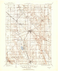
 1902 Berea1958 Print · USGSCuyahoga and Lorain counties appear here at the turn of the century, when electric railways and steam lines were transforming small villages into bustling suburbs. Genealogists and local historians can trace family-named landmarks and early rail junctions in Berea, Olmsted Falls, and the lakeside community of Clifton Park.2 unique versions available
 - 1904 Map of Berea
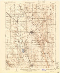
 1904 Berea1904 Print · USGSWestern Cuyahoga and northern Lorain counties are seen here at the start of the century as electric railways began connecting rural towns to the city. Trace the early streets of Olmsted Falls, the winding Rocky River, and vanished stops like Hardscrabble and Copopa.7 unique versions available
 - 1904 Map of Medina, 1954 Print
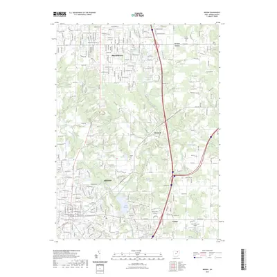
 1904 Medina1954 Print · USGSMedina and its surrounding townships are captured in the early 1900s, showing a landscape defined by the intersection of early pikes and competing steam and electric railroads. Genealogists can trace family connections in vanished stops and crossroads like River Styx, Abbeyville, and Sherman Corners.2 unique versions available
 - 1906 Map of Medina, 1941 Print
 1906 Medina1941 Print · USGSIn Medina County at the dawn of the twentieth century, the rural landscape is a bustling network of electric rail lines and crossroads hamlets. Trace the early paths of the Cleveland Southwestern and Columbus Electric RR and find vanished rail stops like Lester or the community of River Styx.
 - 1950 Map of Cleveland
 1950 Cleveland1950 Print · USGSCovers Brunswick, including Cleveland, Akron, and other nearby areas
 - 1953 Map of Berea, 1955 Print
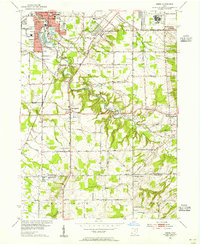 1953 Berea1955 Print · USGSSouthwestern Cleveland suburbs were expanding rapidly in the early fifties as the rural lines of Medina County met the industrial growth of Cuyahoga County. Genealogists and historians can trace the grounds of Crile General Hospital, find the Old Soldiers Cemetery, and locate early schoolhouses like Fairwood Sch.
 - 1953 Map of Medina, 1955 Print
 1953 Medina1955 Print · USGSMedina and its surrounding townships are captured here in the early fifties, showing the transition from a traditional county seat to a growing mid-century community. Genealogists can trace family plots at Spring Grove Cemetery and Windfall Cemetery or locate landmarks like the Mt Pleasant Church.
 - 1956 Map of Cleveland, 1967 Print
 1956 Cleveland1967 Print · USGSNortheast Ohio and Western Pennsylvania are shown at their industrial height during the mid-fifties, from the steel mills to the lakeshore. Researchers can trace the massive Ravenna Arsenal, the Ohio Turnpike, and vanished rail sidings of the B & O RR.3 unique versions available
 - 1962 Map of Cleveland
 1962 Cleveland1962 Print · USGSNortheast Ohio and the Pennsylvania borderlands appear here during the industrial peak of the early sixties. Genealogists and historians can trace the expansive rail lines of the Nickel Plate Road and the growth of suburbs from Parma to Lyndhurst.
 - 1963 Map of Berea, 1964 Print
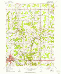
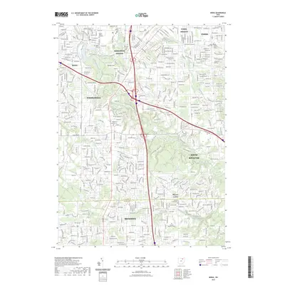
 1963 Berea1964 Print · USGSBerea and its neighboring suburbs are captured here during a period of significant mid-century growth and residential expansion. Genealogists and local historians can trace family locations near Baldwin-Wallace College, find old burials at St Adalbert Cem, or locate landmarks like Strongsville Air Park.6 unique versions available
 - 1963 Map of Medina, 1964 Print
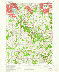
 1963 Medina1964 Print · USGSMedina and Brunswick show significant mid-century suburban growth during the early sixties as residential grids began to expand into the surrounding hills. Researchers can trace local genealogy and land use through sites like Township Cem, St Marks Ch, and the rural Sherman Corners.2 unique versions available
 - 1986 Map of Cleveland South
 1986 Cleveland South1986 Print · USGSNortheast Ohio in the mid-eighties shows the expanding reach of the Akron and Cleveland suburbs into the surrounding countryside. Trace the industrial rail networks of the Erie Lackawanna RR or find local landmarks like Kent State University and the Ravenna Arsenal.
 - 1994 Map of Cleveland South
 1994 Cleveland South1994 Print · USGSThe metropolitan corridor between Akron and Cleveland is shown here in the mid-nineties during a period of significant suburban growth. Researchers can trace the path of the Ohio Turnpike or explore expansive recreation lands like West Branch State Park.
 - 1994 Map of Medina, 1997 Print
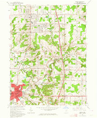
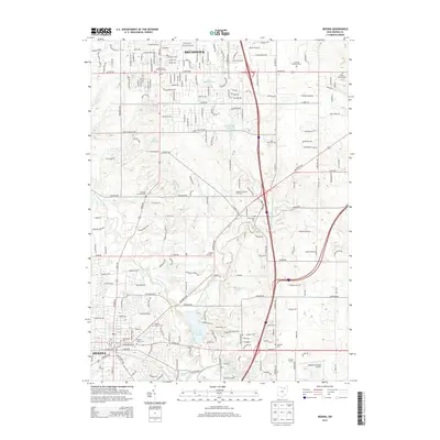
 1994 Medina1997 Print · USGSThe northern reaches of Medina County come into focus during the 1990s as suburban expansion meets traditional crossroads. Genealogists and local researchers can trace family plots at Townhall Cem or explore the development near Weymouth and Lake Brunswick.
 - 1994 Map of Berea, 2000 Print
 1994 Berea2000 Print · USGSCuyahoga and Medina Counties are seen here during a period of significant suburban expansion in the 1990s. Genealogists and local historians can trace the development of Berea and Strongsville, locating landmarks like Woodvale Cem, Baldwin-Wallace College, and the old CONRAIL lines.
 - 2010 Map of Berea, 2010 Print
 2010 Berea2010 Print · USGSCovers Brunswick, including Parma, Strongsville, and other nearby areas
 - 2010 Map of Medina, 2010 Print
 2010 Medina2010 Print · USGSCovers Brunswick, including Medina, Brunswick Hills Township, and other nearby areas
 - 2013 Map of Berea, 2013 Print
 2013 Berea2013 Print · USGSCovers Brunswick, including Parma, Strongsville, and other nearby areas
 - 2013 Map of Medina, 2013 Print
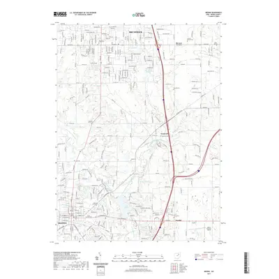
 2013 Medina2013 Print · USGSCovers Brunswick, including Medina, Brunswick Hills Township, and other nearby areas
 - 2016 Map of Berea, 2016 Print
 2016 Berea2016 Print · USGSCovers Brunswick, including Parma, Strongsville, and other nearby areas
 - 2016 Map of Medina, 2016 Print
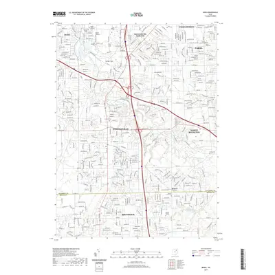
 2016 Medina2016 Print · USGSCovers Brunswick, including Medina, Brunswick Hills Township, and other nearby areas
 - 2019 Map of Berea, 2019 Print
 2019 Berea2019 Print · USGSCovers Brunswick, including Parma, Strongsville, and other nearby areas
 - 2019 Map of Medina, 2019 Print
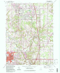
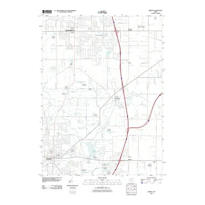
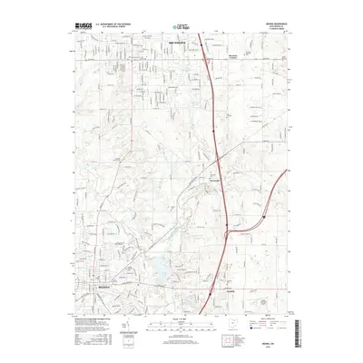
 2019 Medina2019 Print · USGSCovers Brunswick, including Medina, Brunswick Hills Township, and other nearby areas
 - 2023 Map of Medina, 2023 Print
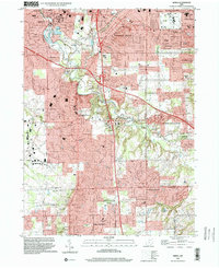
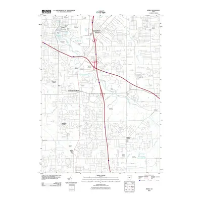
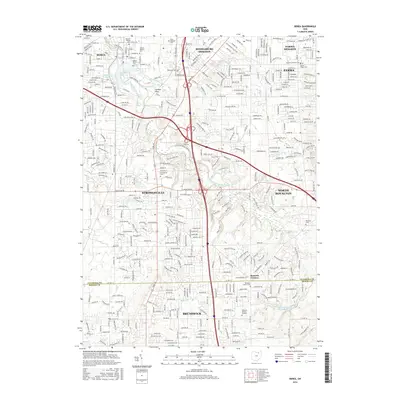
 2023 Medina2023 Print · USGSMedina and Brunswick are shown here in the 2020s, highlighting the modern development surrounding the historic county seat. Family historians can locate several burial grounds including Old Medina Cem and Weymouth Cem along with the Medina County Courthouse.
 - 2023 Map of Berea, 2023 Print
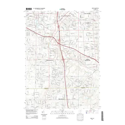
 2023 Berea2023 Print · USGSModern northern Ohio suburban expansion meets historic community foundations in this recent survey. Researchers can trace local lineage across sites like Woodvale Cem, the Baldwin Wallace University campus, and Bennetts Corners.
End of results
Showing maps 1-25 of 25
Top cities near Brunswick
- Cleveland historical maps
- Akron historical maps
- Parma historical maps
- Elyria historical maps
- Lakewood historical maps
- Strongsville historical maps
See more
Top neighborhoods of Brunswick
- Ridgeline Chase historical maps
- Bridgeport Estates historical maps
- The Reserve at Autumn Creek historical maps
Frequently asked questions
- What are the different types of historical maps available for Brunswick?
- What is the oldest map of Brunswick?
- Where can I purchase historical maps of Brunswick for my home or office?
- Where can I download high-res historical maps of Brunswick?
- Are there historical topographic maps available for Brunswick?
- Is there historical aerial imagery available for Brunswick?
- Where are historical maps of Brunswick sourced from?